Clinton in Laurens County, South Carolina — The American South (South Atlantic)
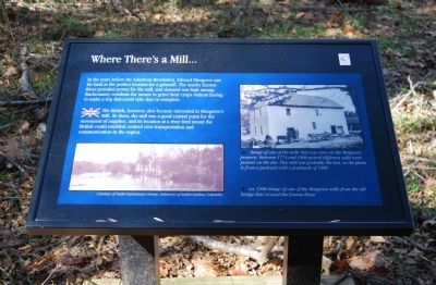
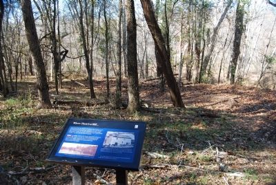
Where There's a Mill…
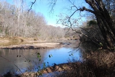
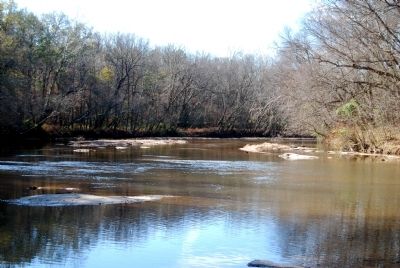
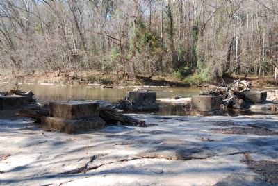
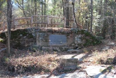
In the years before the American Revolution, Edward Musgrove saw his land as the perfect location for a gristmill. The nearby Enoree River provided power for the mill, and demand was high among Backcountry residents for means to grind their crops without having to make a trip that could take days to complete.
The British, however, also became interested in Musgrove's Mill. To them, the mill was a good central point for the movement of supplies, and its location at a river ford meant the British could establish control over transportation and communication in the region.
Erected by South Carolina Park Service.
Topics. This historical marker is listed in these topic lists: Colonial Era • Settlements & Settlers • War, US Revolutionary.
Location. 34° 35.633′ N, 81° 51.2′ W. Marker is in Clinton, South Carolina, in Laurens County. Marker can be reached from Musgrove Mill Road (State Park Road), on the right when traveling west. Marker is located near the southern shore of the nearby Enoree River. Touch for map. Marker is in this post office area: Clinton SC 29325, United States of America. Touch for directions.
Other nearby markers. At least 10 other markers are within walking distance of this marker. No Rest for the Weary (about 300 feet away, measured in a direct line); Summer Camp (about 300 feet away); Musgrove Mill State Historic Site (about 600 feet away); "Patriot in Petticoats" (about 700 feet away); Ford Country (approx. 0.2 miles away); Battle of Musgrove Mill (approx. ¼ mile away); Into the Backcountry (approx. ¼ mile away); Americans in British Uniform (approx. ¼ mile away); A Band of Brothers (approx. ¼ mile away); True to Their King (approx. 0.3 miles away). Touch for a list and map of all markers in Clinton.
Credits. This page was last revised on February 2, 2023. It was originally submitted on November 26, 2008, by Brian Scott of Anderson, South Carolina. This page has been viewed 1,274 times since then and 31 times this year. Photos: 1, 2, 3, 4, 5, 6. submitted on November 26, 2008, by Brian Scott of Anderson, South Carolina.
