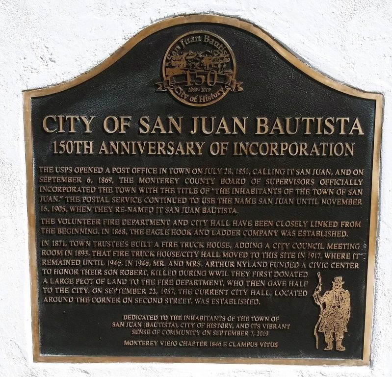
City of San Juan Bautista
150th Anniversary of Incorporation
The Volunteer Fire Department and City Hall have been closely linked from the beginning. In 1868, the Eagle Hook and Ladder Company was established.
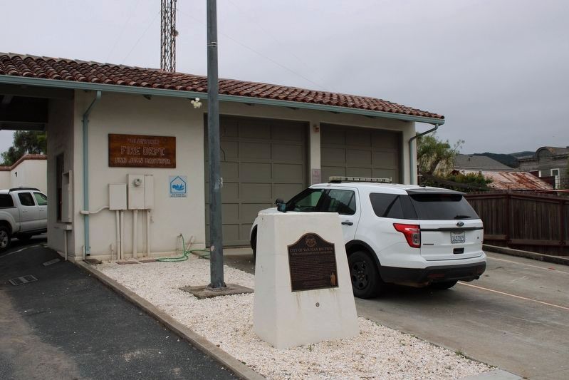
In 1871, town trustees built a fire truck house, adding a City Council room in 1893. That fire truck house/city hall moved to this site in 1917, where it remained until 1946. In 1946, Mr. And Mrs. Arthur Nyland funded a civic center in honor of their son Robert, killed in WWII. They first donated a large plot of land to the fire department, who then gave half to the city. On September 22, 1957, the current City Hall located around the corner on Second Street, was established.
Dedicated to The Inhabitants of the Town of San Juan(Bautista), City of History, and its vibrant sense of community on September 7, 2019
Monterey Viejo Chapter 1846 E Clampus Vitus
Erected 2019 by E Clampus Vitus Monterey Viejo Chapter 1846.
Topics and series. This historical marker is listed
Location. 36° 50.729′ N, 121° 32.236′ W. Marker is in San Juan Bautista, California, in San Benito County. Marker is on Polk Street, on the right when traveling east. Touch for map. Marker is at or near this postal address: 24 Polk Street, San Juan Bautista CA 95045, United States of America. Touch for directions.
Other nearby markers. At least 8 other markers are within walking distance of this marker. De Anza Expedition 1775 – 1776 (within shouting distance of this marker); Old School House (within shouting distance of this marker); The Amah Mutsun Garden (within shouting distance of this marker); Progress Becomes History (about 300 feet away, measured in a direct line); San Juan Bautista Plaza Historic District (about 400 feet away); Castro/Breen Adobe and Plaza Hotel (about 500 feet away); Veterans of the World War (about 500 feet away); Mission San Juan Bautista (about 500 feet away). Touch for a list and map of all markers in San Juan Bautista.
Credits. This page was last revised on August 15, 2023. It was originally submitted on September 4, 2019, by Frank Gunshow Sanchez of Hollister, California. This page has been viewed 287 times since then and 19 times this year. Photos: 1. submitted on September 4, 2019, by Frank Gunshow Sanchez of Hollister, California. 2. submitted on August 15, 2023, by Joseph Alvarado of Livermore, California. • Andrew Ruppenstein was the editor who published this page.

