Near Cohoes in Albany County, New York — The American Northeast (Mid-Atlantic)
Old Military Crossing
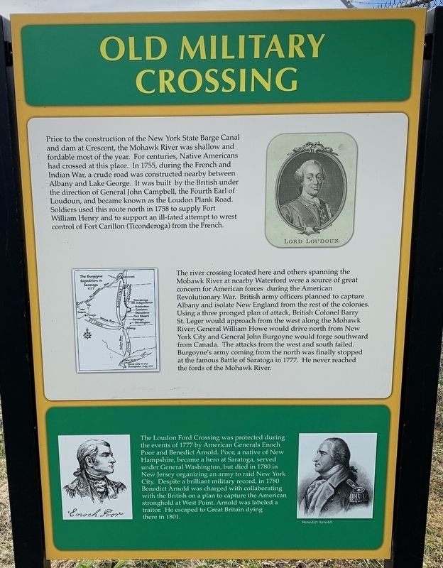
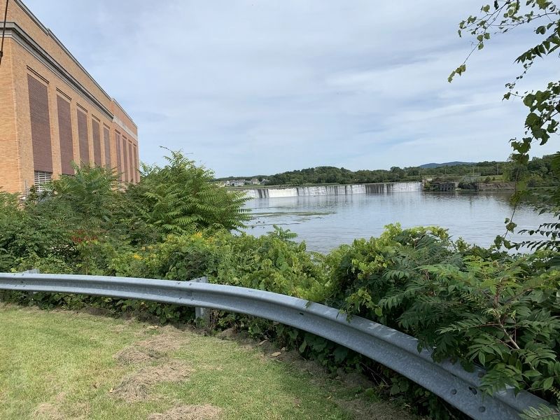
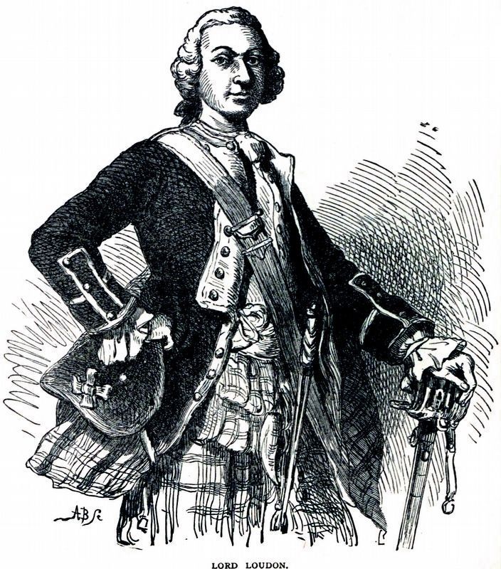
Prior to the construction of the New York State Barge Canal and dam at Crescent, the Mohawk River was shallow and fordable most of the year. For centuries, Native Americans had crossed at this place. In 1755, during the French and Indian War, a crude road was constructed nearby between Albany and Lake George. It was built by the British under the direction of General John Campbell, the Fourth Earl of Loudoun, and became known as the Loudon Plank Road. Soldiers used this route north in 1758 to supply Fort William Henry and to support an ill-fated attempt to wrest control of Fort Carillon (Ticonderoga) from the French.
The river crossing located here and others spanning the Mohawk River at nearby Waterford were a source of great concern for American forces during the American Revolutionary War. British army officers planned to capture Albany and isolate New England from the rest of the colonies. Using a three pronged plan of attack, British Colonel Barry St.Leger would approach from the west along the Mohawk River; General William Howe would drive north from New York City and General John Burgoyne would forge southward from Canada. The attacks from the west and south failed. Burgoyne's army coming from the north was finally stopped at the famous Battle of Saratoga in 1777. He never reached the fords of the Mohawk River.
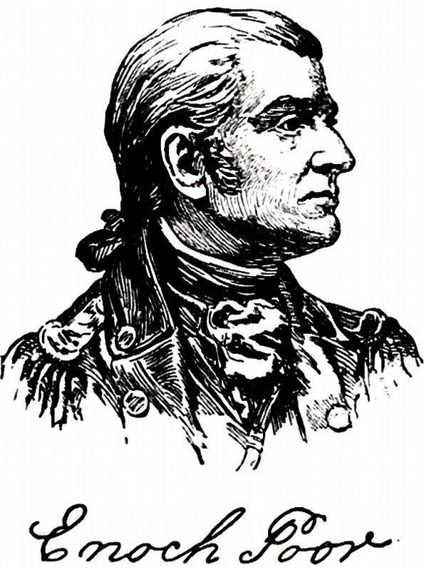
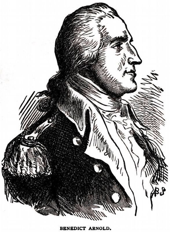
The Loudon Ford Crossing was protected during the events of 1777 by American Generals Enoch Poor and Benedict Arnold. Poor, a native of New Hampshire, became a hero at Saratoga, served under General Washington, but died in 1780 in New Jersey organizing an army to raid New York City. Despite a brilliant military record, in 1780 Benedict Arnold was charged with collaborating with the British on a was protected during plan to capture the American stronghold at West Point. Arnold was labeled a traitor. He escaped to Great Britain dying there in 1801.
Topics and series. This historical marker is listed in these topic lists: Roads & Vehicles • War, French and Indian • War, US Revolutionary • Waterways & Vessels. In addition, it is included in the Former U.S. Presidents: #01 George Washington series list. A significant historical year for this entry is 1755.
Location. 42° 48.317′ N, 73° 43.394′ W. Marker is near Cohoes, New York, in Albany County. Marker is on Cohoes-Crescent Road, on the right when traveling north. Touch for map. Marker is in this post office area: Cohoes NY 12047, United States of America. Touch for directions.
Other nearby markers. At least 8 other markers are within 2 miles of this marker, measured as the crow flies. New York Power Authority (here, next to this marker); a different marker also named Old Military Crossing (about 300 feet away, measured in a direct line); Gen. Henry Knox Trail (approx. 0.6 miles away); Fonda Cemetery (approx. 0.6 miles away); Loudoun Ferry Road (approx. 0.9 miles away); Crescent Aqueduct (approx. 1.3 miles away); Crescent (approx. 1.3 miles away); Crescent / Mohawk Towpath Byway / Halfmoon (approx. 1.4 miles away). Touch for a list and map of all markers in Cohoes.
Credits. This page was last revised on July 18, 2021. It was originally submitted on September 5, 2019, by Steve Stoessel of Niskayuna, New York. This page has been viewed 439 times since then and 26 times this year. Photos: 1, 2. submitted on September 5, 2019, by Steve Stoessel of Niskayuna, New York. 3, 4, 5. submitted on June 13, 2021, by Allen C. Browne of Silver Spring, Maryland. • Andrew Ruppenstein was the editor who published this page.
