Allatoona in Bartow County, Georgia — The American South (South Atlantic)
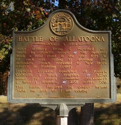
Battle of Allatoona
October 5, 1864
French's division consisted of Young's, Cockrell's, & Sear's Brigades, [CS] 3,276; losses 799. Corse's command: Alexander's & Rowett's Brigades, [US] 2137; losses, 706.
This battle inspired the gospel hymn, "Hold the fort for I am coming".
Erected 1952 by Georgia Historical Commission. (Marker Number 008-6.)
Topics and series. This historical marker is listed in these topic lists: Forts and Castles • War, US Civil. In addition, it is included in the Georgia Historical Society series list.
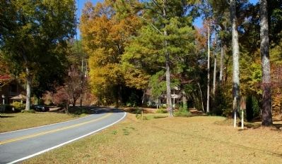
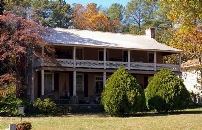
Location. 34° 6.845′ N, 84° 42.918′ W. Marker is in Allatoona, Georgia, in Bartow County. Marker is on Old Allatoona Road, 0.2 miles north of Allatoona Landing Road, on the left when traveling east. The marker is opposite the Clayton House, a landmark of the battle. It is at the edge of the old railroad bed through the rock cut, now a Federally owned trail. Touch for map. Marker is in this post office area: Cartersville GA 30121, United States of America. Touch for directions.
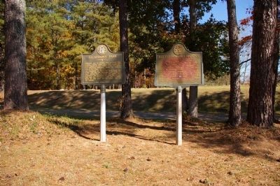
Other nearby markers. At least 8 other markers are within walking distance of this marker . Allatoona Pass (here, next to this marker); Welcome to Allatoona Pass Battlefield (within shouting distance of this marker); The Battle of Allatoona Pass (within shouting distance of this marker); The Railroad (within shouting distance of this marker); The Memorial Field (within shouting distance of this marker); Wartime Allatoona (within shouting distance of this marker); A Demand For Surrender (within shouting distance of this marker); Tennessee Wagon Road (within shouting distance of this marker). Touch for a list and map of all markers in Allatoona.
Credits. This page was last revised on November 26, 2019. It was originally submitted on November 25, 2008, by David Seibert of Sandy Springs, Georgia. This page has been viewed 2,054 times since then and 17 times this year. Last updated on November 29, 2008, by David Seibert of Sandy Springs, Georgia. Photos: 1, 2, 3, 4. submitted on November 25, 2008, by David Seibert of Sandy Springs, Georgia. • Craig Swain was the editor who published this page.


