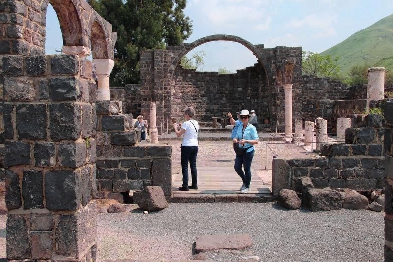
Near Ramot in Golan Regional Council, Northern District, Israel — West Asia (the Levant in the Middle East)
Kursi
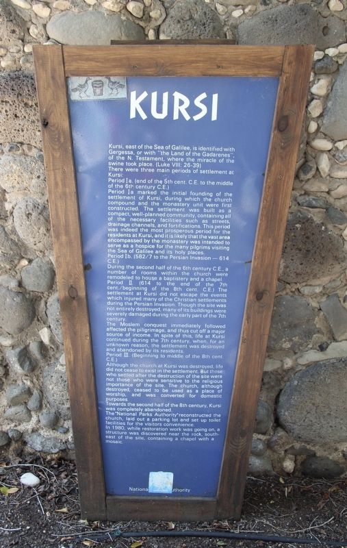
Kursi, east of the Sea of Galilee, is identified with Gergessa, or with "the Land of the Gardarenes," of the New testament, where the miracle of the swine took place. (Luke 8:26-39)
There were three main periods of settlement at Kursi:
Period Ia. (end of the 5th century C.E. to the middle of the 6th century C.E.)
Period Ia marked the initial founding of the settlement of Kursi, during which the church compound and the monastery unit were first constructed. The settlement was built as a compact, well-planned community, containing all of the necessary facilities such as streets, drainage channels, and fortifications. This period was indeed the most prosperous period for the residents at Kursi, and it is likely that the vast area encompassed by the monastery was intended to serve as a hospice for the many pilgrims visiting the Sea of Galilee and its holy places.
Period Ib. (582/7 to the Persian Invasion - 614 C.E.)
During the second half of the 6th century C.E. a number of rooms within the church were remodeled to house a baptistery and a chapel.
Period II. (614 to the end of the 7th century/beginning of the 8th century C.E.)
The settlement at Kursi did not escape the events which injured many of the Christian settlements during the Persian invasion. Though the site was not entirely destroyed, many of its buildings were severely damaged during the early part of the 7th century.
The Moslem conquest immediately followed affected the piligrimage, and thus cut off a major source of income. In spite of this, life at Kursi continued during the 7th century, when, for an unknown reason, the settlement was destroyed and abandoned by its residents.
Period III.(Beginning to middle of the 8th century C.E.)
Although the church at Kursi was destroyed, life did not cease to exist in the settlement. But those who settled after the destruction of the site were not those who were sensitive to the religious importance of the site. The church, although destroyed, ceased to be used as a place of worship, and was converted for domestic purposes.
Towards the second half of the 8th century, Kursi was completely abandoned.
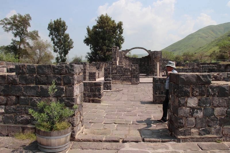
The "National Parks Authority" reconstructed the church, laid out a parking lot and set up toilet facilities for the visitors convenience.
In 1890, while restoration work was going on, a structure was discovered near the rock, southeast of the site, containing a chapel with a mosaic.
Topics. This historical marker is listed in these topic lists: Anthropology & Archaeology • Churches & Religion. A significant historical year for this entry is 1890.
Location. 32° 49.594′ N,
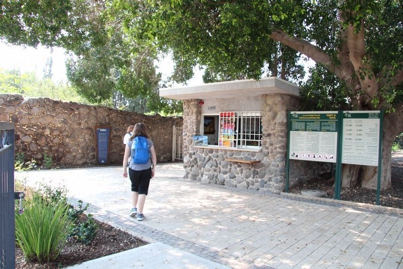
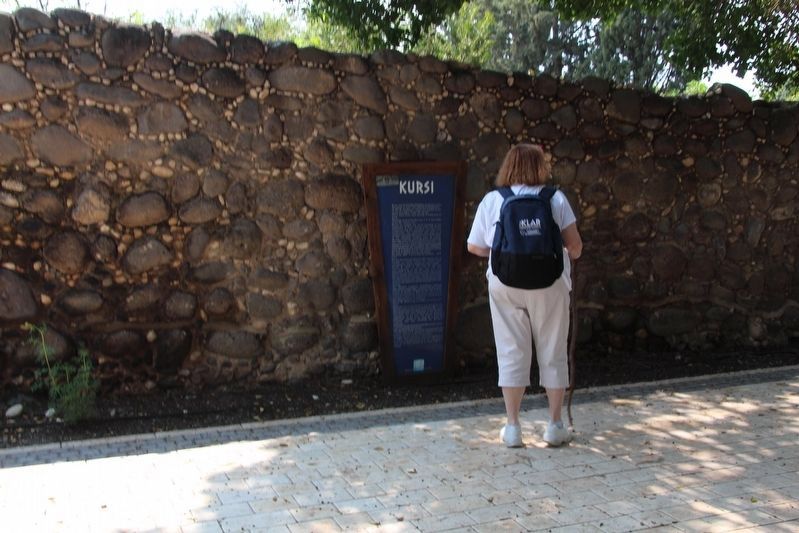
35° 38.993′ E. Marker is near Ramot, Northern District, in Golan Regional Council. Marker can be reached from the intersection of Northern District Route 92 and Route 789 when traveling south. This marker is located at the entrance to the Kursi National Park. Touch for map. Touch for directions.
Other nearby markers. At least 8 other markers are within 10 kilometers of this marker, measured as the crow flies. Baptistery (about 120 meters away, measured in a direct line); Sea of Galilee (approx. 9.2 kilometers away); Capharnaum (approx. 9.2 kilometers away); The Memorial Church of St. Peter (approx. 9.2 kilometers away); a different marker also named Capharnaum (approx. 9.2 kilometers away); The House of Peter (approx. 9.2 kilometers away); The Synagogue of Capharnaum (approx. 9.2 kilometers away); Excavations in Capharnaum (approx. 9.2 kilometers away).
Also see . . . Kursi - Bible Walks. This is a link to information provided by BibleWalks.com. (Submitted on September 11, 2019, by Dale K. Benington of Toledo, Ohio.)
Credits. This page was last revised on December 30, 2023. It was originally submitted on September 11, 2019, by Dale K. Benington of Toledo, Ohio. This page has been viewed 90 times since then and 3 times this year. Photos: 1, 2, 3, 4, 5. submitted on September 11, 2019, by Dale K. Benington of Toledo, Ohio.
