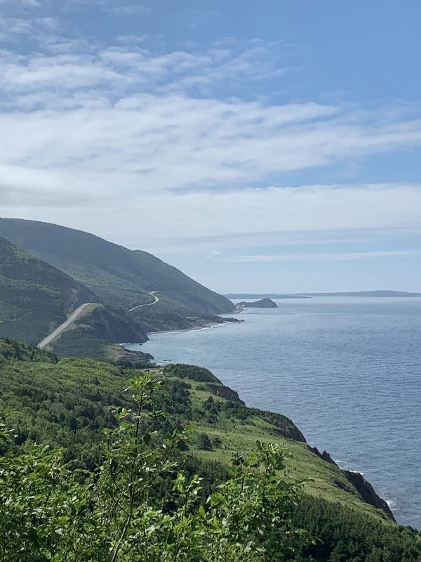
Near Petit Etang in Inverness County, Nova Scotia — The Atlantic Provinces (North America)
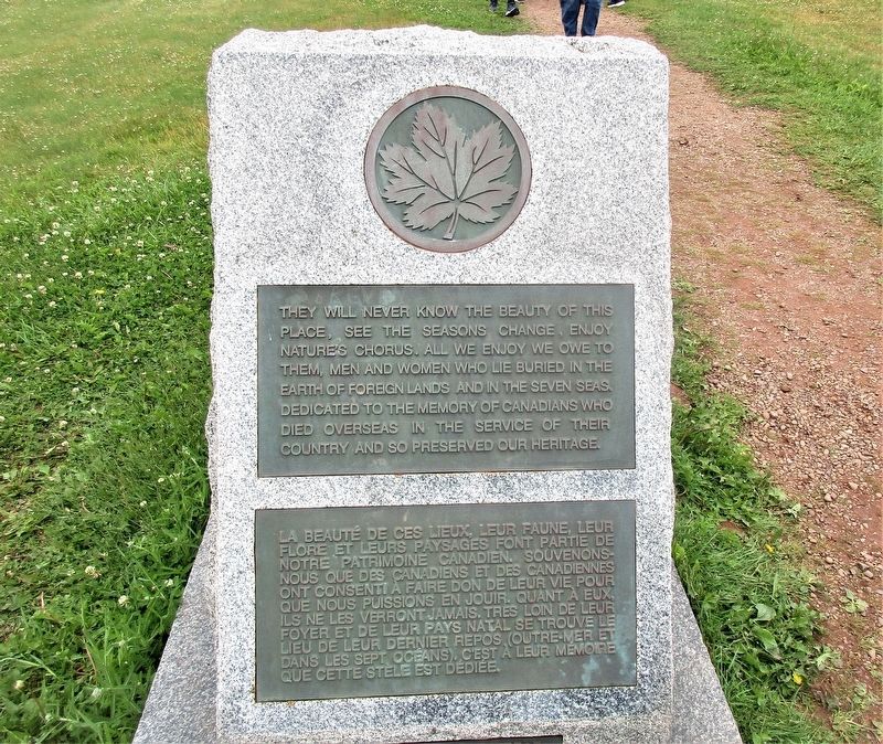
Canada War Memorial
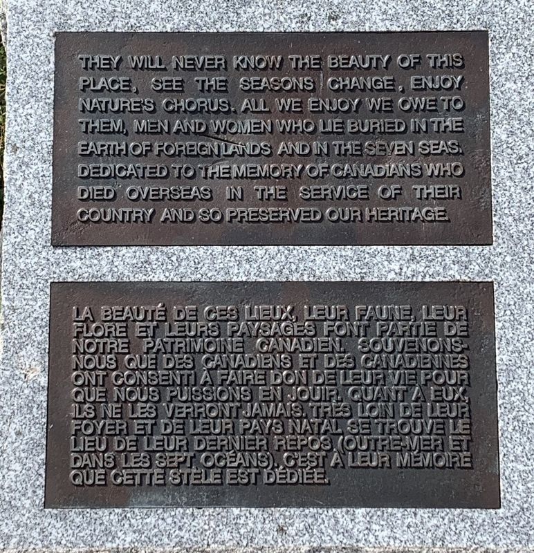
They will never know the beauty of this place see the seasons change, enjoy nature's chorus, all we enjoy we owe to them, men and women who lie buried in the earth of foreign lands and in the Seven Seas dedicated to the memory of Canadians who died overseas in the service of their country and so preserved our heritage
La beaute de ces lieux, leur faune, leur flore et leurs paysages font parte de notre patfrimone ganadien souvenons nous que des canadiens et des canadennes ont consenti a faire don deleuf vie pour que nous puissions en jouir quant a eux ls ne les verront jamais.tres lon de leur foyer et de leur pays natal se trouve le lieu de leuf dernier repos (outre mer et dans les sept oceans gest a leur memoire que cette stele est dediée
Topics. This memorial is listed in this topic list: Military.
Location. 46° 44.272′ N, 60° 55.181′ W. Marker is near Petit Etang, Nova Scotia, in Inverness County. Memorial is on Cabot Trail when traveling north. Touch for map. Marker is in this post office area: Petit Etang NS B0E 1H0, Canada. Touch for directions.
Other nearby markers. At least 8 other markers are within 14 kilometers of this marker, measured as the crow flies. Jeanne Dugas (approx. 12.3 kilometers away); La fin d'un rêve / The End of a Dream (approx. 13.9 kilometers away); Dés l'année suivante, en 1927 / The following year, in 1927 (approx. 13.9 kilometers away); M. Joseph Macfarland / Mr. Joseph MacFarland (approx. 13.9 kilometers away); Tunnel et Quai de la mine / Tunnel and Mine Wharf (approx. 13.9 kilometers away); La Bouée du havre / The Harbour Bouy (approx. 14 kilometers away); Voie ferrée et « Lu vieille Louise » / The railroad and "The Old Louise" (approx. 14 kilometers away); The Gypsum Mine/La Mine De Plâtre (approx. 14 kilometers away).
Credits. This page was last revised on July 9, 2022. It was originally submitted on September 12, 2019, by Steve Stoessel of Niskayuna, New York. This page has been viewed 237 times since then and 13 times this year. Photos: 1. submitted on September 12, 2019, by Steve Stoessel of Niskayuna, New York. 2. submitted on July 4, 2022, by Rev. Ronald Irick of West Liberty, Ohio. 3. submitted on September 12, 2019, by Steve Stoessel of Niskayuna, New York. • Andrew Ruppenstein was the editor who published this page.


