Centretown in Ottawa, Ontario — Central Canada (North America)
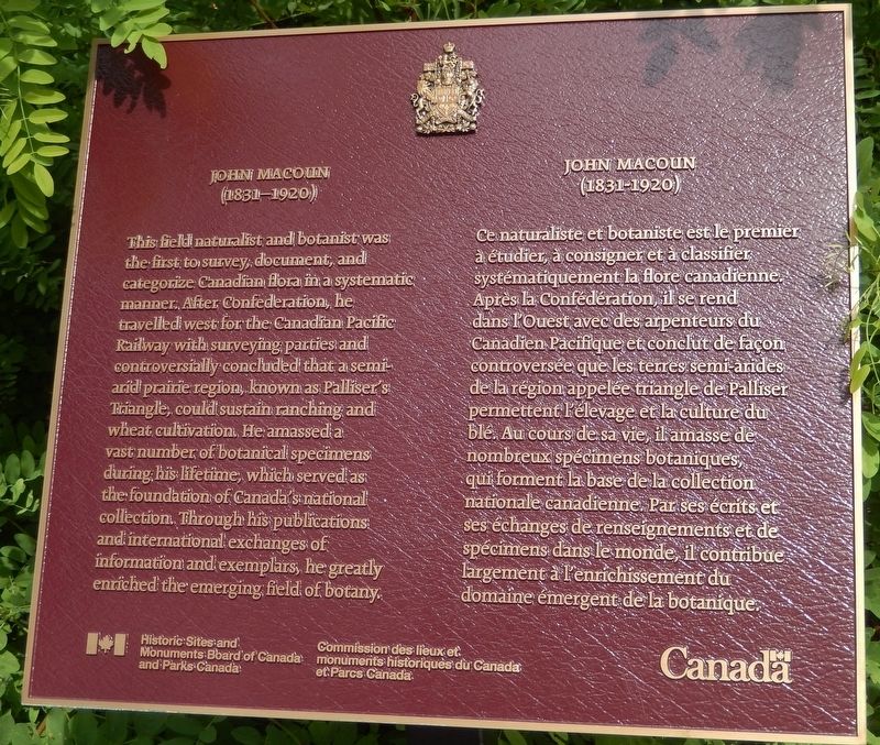
John Macoun
(1831-1920)
This field naturalist and botanist was the first to survey, document, and categorize Canadian flora in a systematic manner. After Confederation, he travelled west for the Canadian Pacific Railway with surveying parties and controversially concluded that a semi-arid prairie region, known as Palliser’s Triangle, could sustain ranching and wheat cultivation. He amassed a number of botanical specimens during his lifetime, which served as the foundation of Canada’s national collection. Through his publications and international exchanges of information and exemplars, he greatly enriched the emerging field of botany.
Ce naturaliste et botaniste est le premier à étudier, à consigner et à classifier systématiquement la flore canadienne. Après la Confédération, il se rend dans l'Ouest avec des arpenteurs du Canadien Pacifique et conclut de façon controversée que les terres semi-arides de la région appelée triangle de Palliser permettent l'élevage et la culture du blé. Au cours de sa vie, il a amassé un nombreux spécimens botaniques, qui forment la base de la collection nationale canadienne. Par ses écrits et ses échanges de renseignements et de spécimens dans le monde, il contribue largement à l’enrichissement du domaine émergent de la botanique.
Erected by Historic Sites and Monuments Board of Canada and Parks Canada/Commission des lieux et monuments historiques du Canada et Parcs Canada.
Topics and series. This historical marker is listed in these topic lists: Agriculture • Science & Medicine. In addition, it is included in the Canada, Historic Sites and Monuments Board series list. A significant historical year for this entry is 1831.
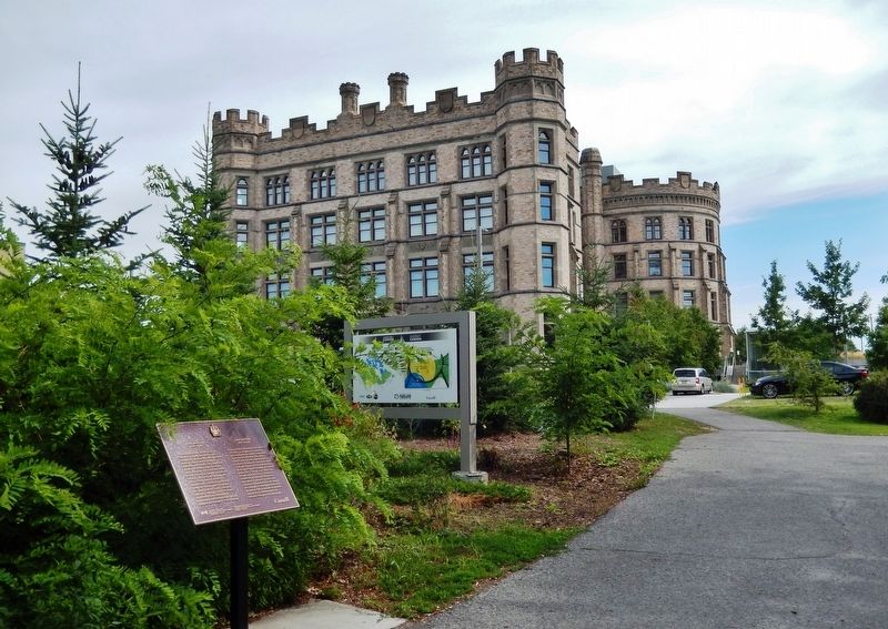
Location. 45° 24.712′ N, 75° 41.388′ W. Marker is in Ottawa, Ontario. It is in Centretown. Marker can be reached from the intersection of O'Connor Street (Route 87) and Argyle Avenue, on the left when traveling south. Marker is located along the Landscapes of Canada Gardens walkway, on the west side of the Canadian Museum of Nature, near the southwest corner of the museum grounds. Touch for map. Marker is at or near this postal address: 240 McLeod Street, Ottawa ON K2P 2R1, Canada. Touch for directions.
Other nearby markers. At least 8 other markers are within walking distance of this marker. The Woolly Mammoth / Le mammouth laineux (about 90 meters away, measured in a direct line); Victoria Memorial Museum Building (about 90 meters away); Diamond Jenness (about 150 meters away); Parliament Fire
(about 150 meters away); John R. Booth Residence / La Résidence de John R. Booth (approx. 0.6 kilometers away); The Gouzenko Affair / L’Affaire Gouzenko (approx. 0.9 kilometers away); Igor Gouzenko (approx. 0.9 kilometers away); Marion Dewar Plaza (approx. one kilometer away). Touch for a list and map of all markers in Ottawa.
Also see . . . John Macoun. In 1882 Macoun was appointed to the Geological Survey of Canada as Dominion botanist and began a study of the range and distribution of Canada's flora, adding fauna when he became survey naturalist and assistant director in 1887. Macoun established a Dominion Herbarium of over 100 000 specimen sheets and discovered approximately 1000 new species, many of which were named after him. (Submitted on September 15, 2019, by Cosmos Mariner of Cape Canaveral, Florida.)
Credits. This page was last revised on January 24, 2022. It was originally submitted on September 13, 2019, by Cosmos Mariner of Cape Canaveral, Florida. This page has been viewed 183 times since then and 12 times this year. Photos: 1, 2. submitted on September 15, 2019, by Cosmos Mariner of Cape Canaveral, Florida.

