St. Ignace in Mackinac County, Michigan — The American Midwest (Great Lakes)
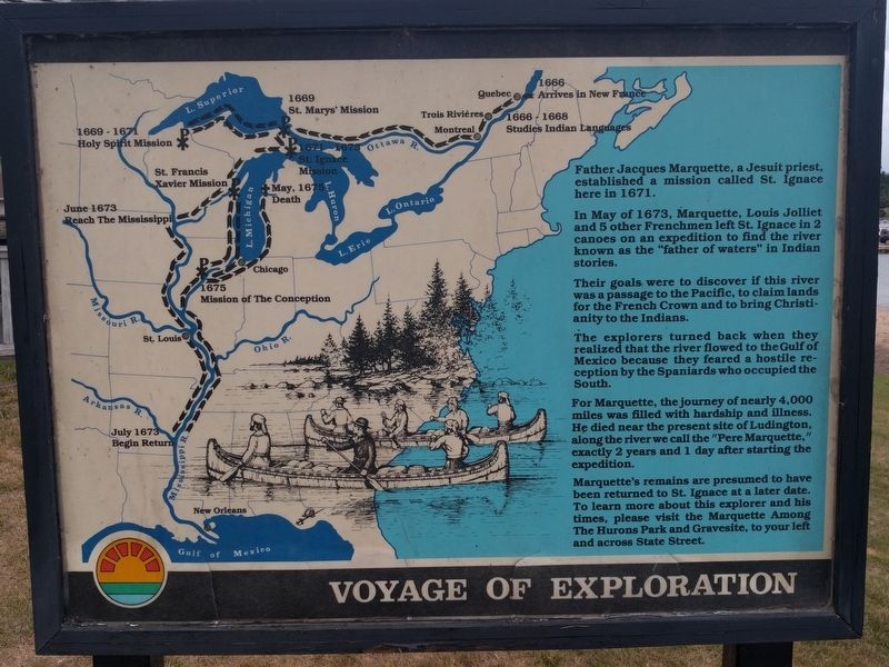
Voyage of Exploration
Father Jacques Marquette, a Jesuit priest, established a mission called St. Ignace here in 1671.
In May of 1673, Marquette, Louis Jolliet and 5 other Frenchmen left St. Ignace in 2 canoes on an expedition to find the river known as the "father of waters" in Indian stories.
Their goals were to discover if this river was a passage to the Pacific, to claim lands for the French Crown and to bring Christianity to the Indians.
The explorers turned back when they realized that the river flowed to the Gulf of Mexico because they feared a hostile reception by the Spaniards who occupied the South.
For Marquette, the journey of nearly 4,000 miles was filled with hardship and illness. He died near the present site of Ludington, along the river we call the "Pere Marquette," exactly 2 years and 1 day after starting the expedition.
Marquette's remains are presumed to have been returned to St. Ignace at a later date. To learn more about this explorer and his times, please visit the Marquette Among The Hurons Park and Gravesite, to your left across State Street.
Topics. This historical marker is listed in these topic lists: Colonial Era • Exploration. A significant historical month for this entry is May 1673.
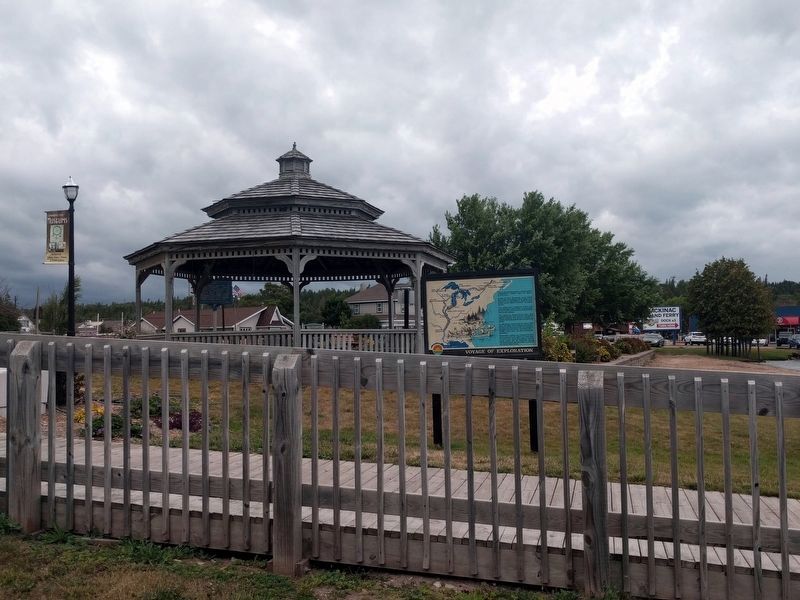
Location. 45° 52.294′ N, 84° 43.848′ W. Marker is in St. Ignace, Michigan, in Mackinac County. Marker can be reached from North State Street (Business Interstate 75) north of Marquette Street, on the right when traveling north. Marker is next to the Huron Boardwalk at the south end of Kiwanis Beach. Touch for map. Marker is at or near this postal address: 499 North State Street, Saint Ignace MI 49781, United States of America. Touch for directions.
Other nearby markers. At least 8 other markers are within walking distance of this marker. Michilimackinac Cove (a few steps from this marker); What's in the Water? (a few steps from this marker); Knights of Columbus Plaque (within shouting distance of this marker); St. Ignace Mission (within shouting distance of this marker); a different marker also named St. Ignace Mission (within shouting distance of this marker); Structures of Local Native Americans in the 1600's (within shouting distance of this marker); a different marker also named What's in the Water? (within shouting distance of this marker); Father Marquette Park Kiosk (within shouting distance of this marker). Touch for a list and map of all markers in St. Ignace.
Credits. This page was last revised on September 14, 2019. It was originally submitted on September 13, 2019, by Joel Seewald of Madison Heights, Michigan. This page has been viewed 164 times since then and 11 times this year. Photos: 1, 2. submitted on September 13, 2019, by Joel Seewald of Madison Heights, Michigan.

