Whitehead in Guysborough County, Nova Scotia — The Atlantic Provinces (North America)
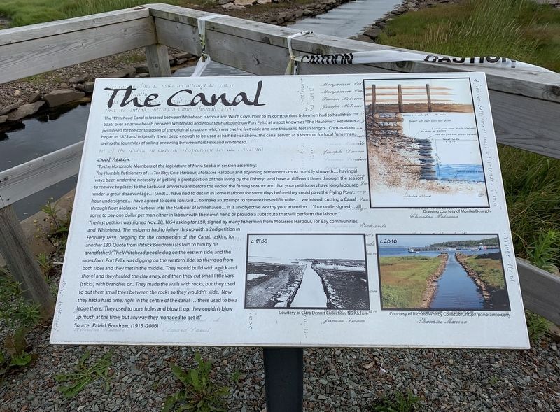
The Canal
Inscription.
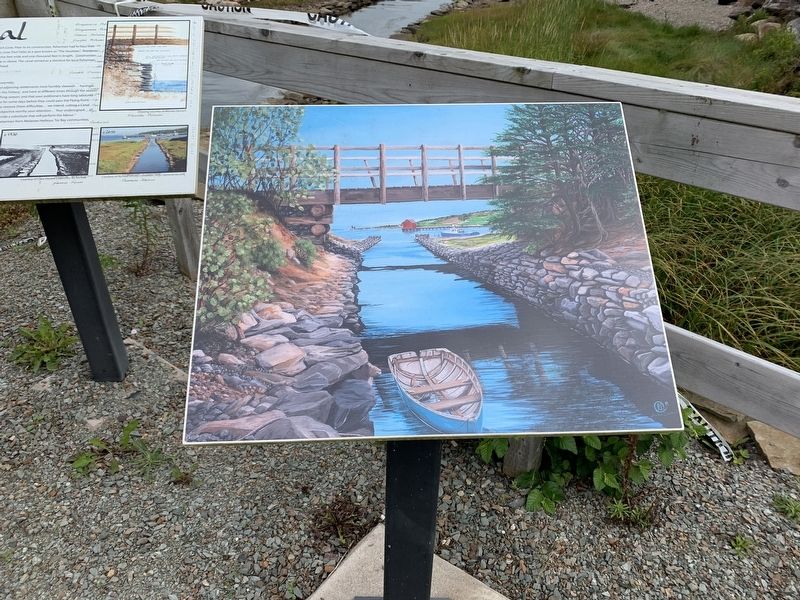
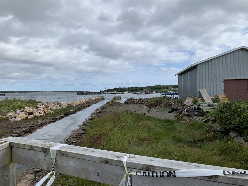
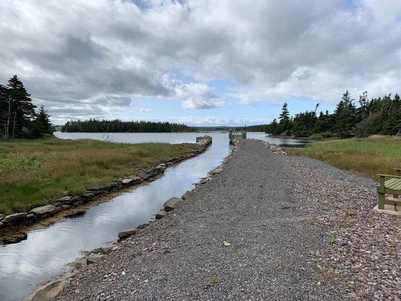
The Whitehead Canal is located between Whitehead Harbour and Witch Cove. Prior to its construction, fishermen had to haul their boats over a narrow beach between Whitehead and Molasses Harbour (now Port Felix) at a spot known as "The Haulover". Residents petitioned for the construction of the original structure which was twelve feet wide and one thousand feet in length. Construction began in 1875 and originally it was deep enough to be used at half-tide or above. The canal served as a shortcut for local fishermen, saving the four miles of sailing or rowing between Port Felix and Whitehead.
Canal Petition
"To the Honorable Members of the legislature of Nova Scotia in session assembly: The Humble Petitioners of... Tor Bay, Cole Harbour, Molasses Harbour and adjoining settlements most humbly sheweth... having always been under the necessity of getting a great portion of their living by the Fishery; and have at different times through the season to remove to places to the Eastward or Westward before the end of the fishing season; and that your petitioners have long laboured under a great disadvantage... [and]... have had to detain in some Harbour for some days before they could pass the Flying Point. Your undersigned... have agreed to come forward... to make an attempt to remove these difficulties... we intend, cutting a Canal through from Molasses Harbour into the Harbour of Whitehaven... It is an objective worthy your attention... Your undersigned... all agree to pay one dollar per man either in labour with their own hand or provide a substitute that will perform the labour." The first petition was signed Nov. 28, 1854 asking for £50, signed by many fishermen from Molasses Harbour, Tor Bay communities and Whitehead. The residents had to follow this up with a 2nd petition in February 1859, begging for the completion of the Canal, asking for another £30. Quote from Patrick Boudreau (as told to him by his an grandfather)."The Whitehead people dug on the eastern side, and the ones from Port Felix was digging on the western side, so they dug from both sides and they met in the middle. They would build with a pick and shovel and they hauled the clay away, and then they cut small little Vars [sticks] with branches on. They made the walls with rocks, but they used to put them small trees between the rocks so they wouldn't slide. Now they had a hard time, right in the centre of the canal... there used to be a ledge there. They used to bore holes and blow it up, they couldn't blow up much at the time, but anyway they managed to get it." Source: Patrick Boudreau (1915-2006)
Topics. This historical marker is listed in these topic lists: Man-Made Features • Waterways & Vessels. A significant historical month for this entry is February 1859.
Location. 45° 14.503′ N, 61° 11.427′ W. Marker is in Whitehead, Nova Scotia, in Guysborough County. Marker is on Whitehead Road, on the left when traveling south. Marker is just past the bridge over the little canal. Touch for map. Marker is in this post office area: Whitehead NS B0H 1T0, Canada. Touch for directions.
Other nearby markers. At least 8 other markers are within 8 kilometers of this marker, measured as the crow flies. Whitehead (here, next to this marker); Yankee Cove (here, next to this marker); Port Felix (about 150 meters away, measured in a direct line); Folklore & Trivia (about 150 meters away); Captain Savalette (approx. 2.3 kilometers away); Welcome to Place Savalette (approx. 2.3 kilometers away); #5 Radar Unit R.C.A.F Station (approx. 7.1 kilometers away); We Will Remember/Nous Nous Souviendrons (approx. 7.1 kilometers away). Touch for a list and map of all markers in Whitehead.
Also see . . . The canal. (Submitted on September 13, 2019, by Steve Stoessel of Niskayuna, New York.)
Credits. This page was last revised on September 15, 2019. It was originally submitted on September 13, 2019, by Steve Stoessel of Niskayuna, New York. This page has been viewed 180 times since then and 20 times this year. Photos: 1, 2, 3, 4. submitted on September 13, 2019, by Steve Stoessel of Niskayuna, New York. • Andrew Ruppenstein was the editor who published this page.


