St. Ignace in Mackinac County, Michigan — The American Midwest (Great Lakes)
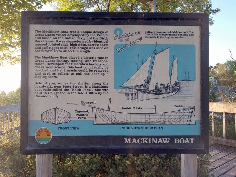
Mackinaw Boat
The Mackinaw Boat was a unique design of Great Lakes vessel developed by the French and based on the Indian design of the Birch Bark Canoe. It was characterized by identical tapered pointed ends, high sides, narrow beam and gaff-rigged sails. This design was used on boats from 18 to 40 feet in length.
The Mackinaw Boat played a historic role in Great Lakes fishing, trading, and transportation. Developed at a time when harbors and docks were scarce, this boat could easily be beached and its' 2 masts could be removed and used as rollers to pull the boat up a slopig shore.
Behind you, under the shelter along the boardwalk, near State Street, is a Mackinaw boat relic called the "Edith Jane". She was built in St. Ignace in the late 1800's by the Chenier family.
Mackinac or Mackinaw
Both are pronounced (Mak 'o - no'). The first if the French/Indian spelling and the latter is the English version.
Topics. This historical marker is listed in this topic list: Waterways & Vessels.
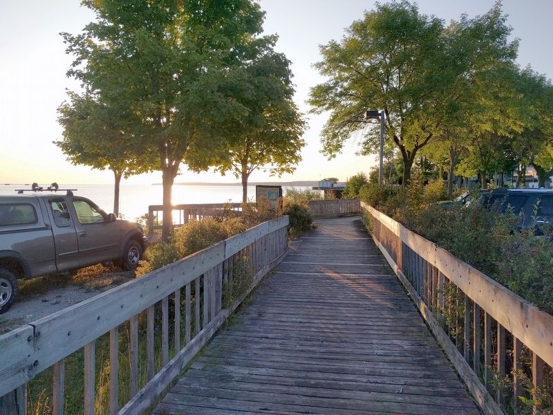
Location. 45° 52.146′ N, 84° 43.625′ W. Marker is in St. Ignace, Michigan, in Mackinac County. Marker can be reached from North State Street (Business Interstate 75) north of Central Hill, on the right when traveling north. Marker is on the Huron Boardwalk. Touch for map. Marker is at or near this postal address: 322 North State Street, Saint Ignace MI 49781, United States of America. Touch for directions.
Other nearby markers. At least 8 other markers are within walking distance of this marker. A different marker also named Mackinaw Boat (within shouting distance of this marker); Civilian Conservation Corps (within shouting distance of this marker); Native American Land Losses (within shouting distance of this marker); Fort de Buade (about 500 feet away, measured in a direct line); Mooring Facilities (about 600 feet away); Old Mill Slip (about 700 feet away); Watery Graveyard (about 800 feet away); Commercial Fishing (approx. 0.2 miles away). Touch for a list and map of all markers in St. Ignace.
Also see . . . Mackinaw Boat. Wikipedia article (Submitted on September 17, 2019, by Joel Seewald of Madison Heights, Michigan.)
Credits. This page was last revised on September 17, 2019. It was originally submitted on September 17, 2019, by Joel Seewald of Madison Heights, Michigan. This page has been viewed 297 times since then and 37 times this year. Photos: 1, 2. submitted on September 17, 2019, by Joel Seewald of Madison Heights, Michigan.

