St. Ignace in Mackinac County, Michigan — The American Midwest (Great Lakes)
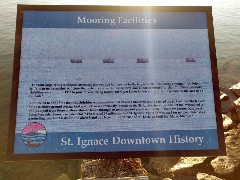
Mooring Facilities
St. Ignace Downtown History
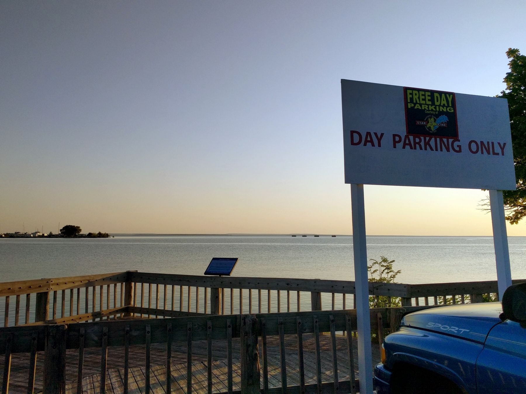
The four large cylinder shaped structures that you see in place out in the bay are called "mooring dolphins". A dolphin is "a man-made marine structure that extends above the water level and is not connected to shore". These particular dolphins were built in 1957 to provide a mooring facility for Great Lakes tanker ships carrying jet fuel to the area to be offloaded.
Connected to one of the mooring dolphins was a pipeline that traveled underwater and carried the jet fuel from the tanker ships to above ground storage tanks, which were previously located on the St. Ignace shoreline. The jet fuel was stored in, and pumped from these onshore storage tanks through an underground pipeline directly to the now defunct Kinross Air Force Base (also known as Kincheloe AFB) located 37 miles north of St. Ignace. The AFB was used for national defense as a refueling base for Alaska-bound aircraft and as a base for the defense of the Locks at Sault Ste. Marie, Michigan.
Topics. This historical marker is listed in these topic lists: Air & Space • Industry & Commerce • Waterways & Vessels. A significant historical year for this entry is 1957.
Location. 45° 52.115′ N, 84° 43.482′ W. Marker is in St. Ignace, Michigan, in Mackinac County. Marker can be reached from North State Street, on the right when traveling north. Marker is on the Huron Boardwalk, between East Truckey Street and Central Hill. Touch for map. Marker is in this post office area: Saint Ignace MI 49781, United States of America. Touch for directions.
Other nearby markers. At least 8 other markers are within walking distance of this marker. Diving into History (within shouting distance of this marker); St. Ignace (about 300 feet away, measured in a direct line); Michigan State Ferry (about 300 feet away); State Ferry Service (about 500 feet away); Civilian Conservation Corps (about 500 feet away); Mackinaw Boat (about 500 feet away); a different marker also named Mackinaw Boat (about 600 feet away); People and the Great Lakes (about 700 feet away). Touch for a list and map of all markers in St. Ignace.
More about this marker. An identical marker is near the Wawatam lighthouse.
Credits. This page was last revised on December 8, 2020. It was originally submitted on September 18, 2019, by Joel Seewald of Madison Heights, Michigan. This page has been viewed 408 times since then and 17 times this year. Photos: 1, 2. submitted on September 18, 2019, by Joel Seewald of Madison Heights, Michigan.

