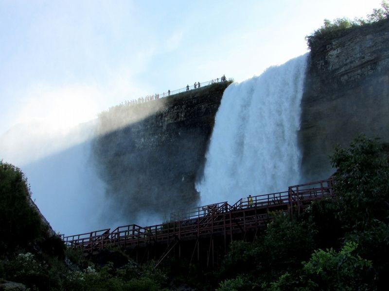
Niagara Falls in Niagara County, New York — The American Northeast (Mid-Atlantic)
Cave of the Winds and Bridal Veil Falls
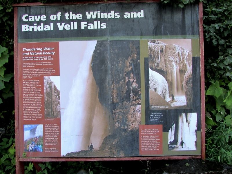
Thundering Water and Natural Beauty
A destination to explorers and tourists for more than 170 years.
This natural geologic wonder was created over many centuries by the erosion of the shaley substratum located behind the Bridal Veil Falls.
As the great mass of water plummeted over the falls and crashed into the rocks 165 feet below, the great force of the water created a back splash that continually eroded the rock behind the Falls. This created a cavern approximately 100 feet high, 50 feet wide and 100 feet in depth.
The cave was originally named after Aeolus, the fabled God of the Winds. “Aeolus’ Cave,” or “Cave of the Winds” as it became better known, became a destination to both explorers and tourists to the Falls. Access to the Cave of the Winds in the 1800’s was accomplished by descending the Biddle Stairs. The stairs, originally built in 1829 with money donated by Nicholas Biddle of Philadelphia banking fame, were attached on the face of Goat Island’s 165’ cliff. This enclosed 80’ high, 132 step spiral stairway led visitors on a path just above the base of the gorge. In 1925, the Cave of the Winds elevator station officially opened replacing the old Biddle Stairs. Today visitors can still descend the elevator to the base of Goat Island, and then walk a short distance to view the Bridal Falls.
Today, the Cave of the Winds attraction is a series of wooden pathways and platforms that allow the adventure-bound to stand within ten feet of the Falls, and experience the power and raging fury of the thundering water at the base pf the Bridal Veil Falls.
(For your safety, the cave is no longer accessible due to rock scaling of the gorge wall.)
From 1868 to the early 1900s, the Cave of the Winds became an extremely popular trip.
In February of 1896, an ice jam at the head of the rapids completely cut off water flowing over the American Falls. For four days the cave was accessible by way of the ice from the front. As a result, guide John Barlow became the first to visit the Cave of the Winds in February.
Topics. This historical marker is listed in this topic list: Natural Features.
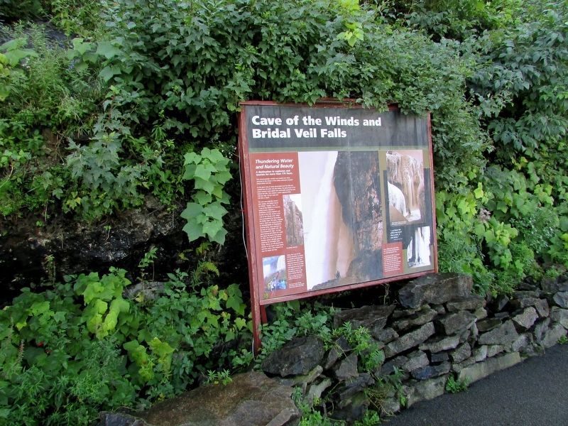
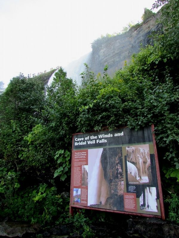
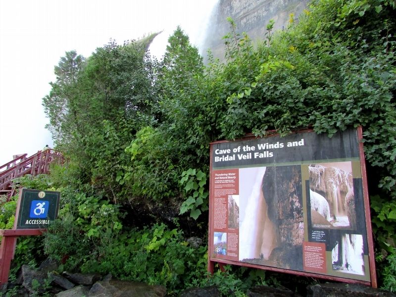
Location. 43° 4.933′ N, 79° 4.183′ W. Marker is in Niagara Falls, New York, in Niagara County. Marker can be reached from Goat Island Road. Marker is located in Niagara Falls State Park, on Goat Island. Touch for map. Marker is in this post office area: Niagara Falls NY 14303, United States of America. Touch for directions.
Other nearby markers. At least 8 other markers are within walking distance of this marker. The Cave of the Winds (here, next to this marker); Niagara River Corridor Important Bird Area (within shouting distance of this marker); Original Stepping Stone (about 400 feet away, measured in a direct line); World's First Hydroelectric Power Plant (about 400 feet away); The Power Portal (about 400 feet away); Nikola Tesla (about 400 feet away); Cave of the Winds Elevator (about 400 feet away); a different marker also named Nikola Tesla (about 500 feet away). Touch for a list and map of all markers in Niagara Falls.
More about this marker. Several photographs of the Cave of the Winds appear on the marker. Two on the right show the Cave during winter. One shows “John R. Barlow, famous Cave of the Wind guide, on February 14, 1896.” Another photo shows the “Interior of the Cave of the Winds, c. 1890.”
A photo on the left is of the Biddle Staircase. Below this is a modern picture with a caption of “The Cave of the Winds Attraction offers spectacular views from below the Falls.”
Credits. This page was last revised on September 22, 2019. It was originally submitted on September 22, 2019, by Bill Coughlin of Woodland Park, New Jersey. This page has been viewed 391 times since then and 30 times this year. Photos: 1, 2, 3, 4, 5. submitted on September 22, 2019, by Bill Coughlin of Woodland Park, New Jersey.
