Cumberland in Allegany County, Maryland — The American Northeast (Mid-Atlantic)
C&O Canal Terminus
C&O Canal N.H.P., Maryland
— National Park Service, U.S. Department of the Interior —
Inscription.
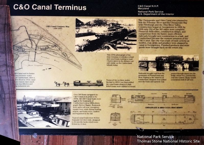
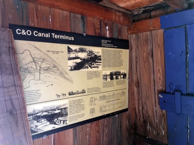
The Chesapeake and Ohio Canal was planned to link the Potomac River and the Chesapeake Bay with Pittsburgh and the Ohio River Valley. Construction began at Georgetown in 1828; by 1850 only 184 of the 365 miles were complete. Financial difficulties, construction delays, and competition from the faster, more efficient railroads brought new construction to a halt, and Cumberland became the western terminus of the C&O Canal. The city was a hub of trade activity as lumber, coal, grain, and produce were shipped by canal to Georgetown. Finished products and store goods were brought back on the return trip.
(captions)
The C&O Canal and its basins had an extensive water system at Cumberland. After a destructive flood in 1924, canal operations ceased; later much of the area was filled in and (unreadable) an industrial site.
This 1870s photograph of the busy terminus overlooks a wharf and canal boats waiting to load. Church spires in the distance are still visible on the Cumberland hillside today.
Teams of two or three mules hitched to the 100 ft.tow lines pulled the canal boats along at 4 mph. Relief teams were stabled on board.
Railroads brought coal from the mountains of Pennsylvania and West Virginia to the wharves of Cumberland. Hoppers were pulled over the boats and opened; coal poured through chutes into the holds, where men distributed the coal into corners. Boats carried a maximum of 126 tons.
Over 500 Boats navigated the C&O Canal at its peak in the 1870s. All C&O boats were built in the boatyards of Cumberland (circa 1900s photograph—Shriver Basin). Boatyards were active all year; emergency repairs were made during the boating season, and boats were caulked and repainted in the fall.
Typical canal boats were 92 feet long and 14.5 feet wide, designed to fit into the locks which were 98 feet by 15 feet.
Erected by National Park Service, U.S. Department of the Interior.
Topics and series. This historical marker is listed in these topic lists: Industry & Commerce • Waterways & Vessels. In addition, it is included in the Chesapeake and Ohio (C&O) Canal series list. A significant historical year for this entry is 1828.
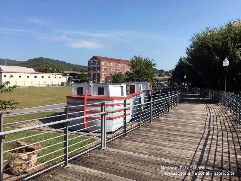
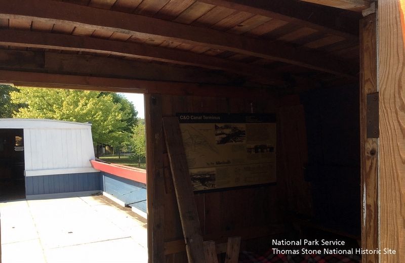
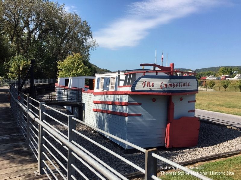
Location. 39° 38.839′ N, 78° 45.746′ W. Marker is in Cumberland, Maryland, in Allegany County. Marker can be reached from Canal Street, 0.1 miles west of Wineow Street. Marker is located along the Chesapeake & Ohio Canal towpath on the deck of the canal boat replica called the "Cumberland."
Note: The canal boat is sometimes closed to the public. Touch for map. Marker is in this post office area: Cumberland MD 21502, United States of America. Touch for directions.
Other nearby markers. At least 8 other markers are within walking distance of this marker. A Canal Boat Replica—The Cumberland (here, next to this marker); Irish Laborers (within shouting distance of this marker); Footer's Dye Works (about 300 feet away, measured in a direct line); Cumberland Terminus: Yesterday and Today (about 400 feet away); A Home on the Boat—The Captain's Cabin (about 400 feet away); Explore a Trail Network
(about 500 feet away); Cumberland Terminus: Yesterday and Today (about 800 feet away); Life on the Canal (about 800 feet away). Touch for a list and map of all markers in Cumberland.
Also see . . .
1. Cumberland Visitor Center, Chesapeake & Ohio Canal National Historical Park, National Park Service. (Submitted on September 24, 2019.)
2. History & Culture, Chesapeake & Ohio National Historical Park, National Park Service. (Submitted on September 24, 2019.)
Credits. This page was last revised on September 27, 2019. It was originally submitted on September 24, 2019. This page has been viewed 322 times since then and 45 times this year. Photos: 1, 2, 3, 4, 5, 6. submitted on September 24, 2019. • Andrew Ruppenstein was the editor who published this page.
