Palomar in Lexington in Fayette County, Kentucky — The American South (East South Central)
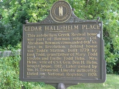
Cedar Hall - Helm Place
Erected 1986 by Kentucky Historical Society and Kentucky Department of Highways. (Marker Number 1783.)
Topics and series. This historical marker is listed in these topic lists: Notable Buildings • War, US Civil • War, US Revolutionary. In addition, it is included in the Kentucky Historical Society series list. A significant historical year for this entry is 1779.
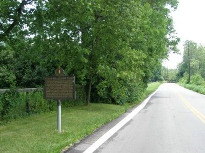
Location. 38° 0.053′ N, 84° 35.419′ W. Marker is in Lexington, Kentucky, in Fayette County. It is in Palomar. Marker is on Bowman Mill Road, on the right when traveling north. Touch for map. Marker is in this post office area: Lexington KY 40510, United States of America. Touch for directions.
Other nearby markers. At least 8 other markers are within 5 miles of this marker, measured as the crow flies. South Elkhorn Christian Church (approx. half a mile away); Keeneland (approx. 3 miles away); Kenton's Blue Hole (approx. 3.2 miles away); Lexington (approx. 3.8 miles away); Chaumiere des Prairies (approx. 4 miles away); a different marker also named Lexington (approx. 4.1 miles away); Preston's Cave Spring (approx. 4.7 miles away); Pisgah Church (approx. 4.7 miles away). Touch for a list and map of all markers in Lexington.
Credits. This page was last revised on February 12, 2023. It was originally submitted on December 1, 2008, by Christopher Light of Valparaiso, Indiana. This page has been viewed 2,386 times since then and 47 times this year. Photos: 1, 2, 3. submitted on December 1, 2008, by Christopher Light of Valparaiso, Indiana. • Craig Swain was the editor who published this page.


