Belfast in Queens County, Prince Edward Island — The Atlantic Provinces (North America)
Point Prim Lighthouse / Le Phare de Point Prim
A Lighthouse to Call Our Own / Un Phare Bien à Nous
Inscription.
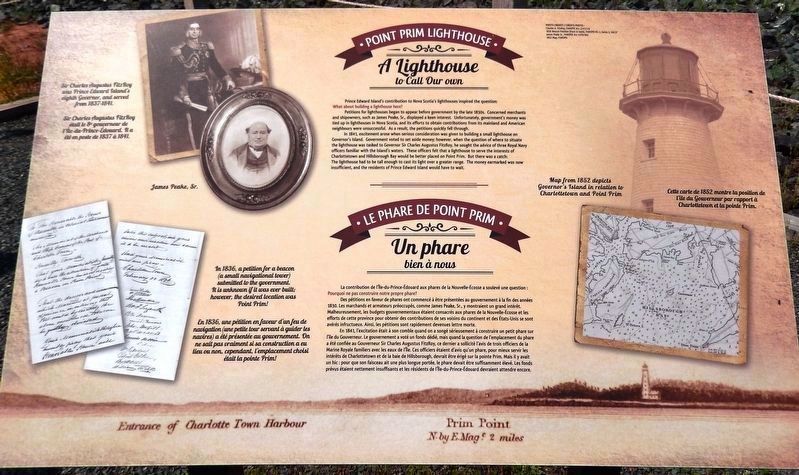
Prince Edward Island's contribution to Nova Scotia's lighthouses inspired the question: What about building a lighthouse here?
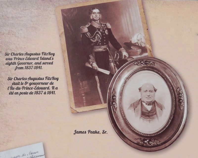
Petitions for lighthouses began to appear before government by the late 1830s. Concerned merchants and shipowners, such as James Peake, Sr., displayed a keen interest. Unfortunately, government's money was tied up in lighthouses in Nova Scotia, and its efforts to obtain contributions from its mainland and American neighbours were unsuccessful. As a result, the petitions quickly fell through.
In 1841, excitement arose when serious consideration was given to building a small lighthouse on Governor's Island. Government voted to set aside money; however, when the question of where to situate the lighthouse was tasked to Governor Sir Charles Augustus FitzRoy, he sought the advice of three Royal Navy officers familiar with the Island's waters. These officers felt that a lighthouse to serve the interests of Charlottetown and Hillsborough Bay would be better placed on Point Prim. But there was a catch: The lighthouse had to be tall enough to cast its light over a greater range. The money earmarked was now insufficient, and the residents of Prince Edward Island would have to wait.
La contribution de l'Île-du-Prince-Édouard aux phares de la Nouvelle-Écosse a soulevé une question : Pourquoi ne pas construire notre propre phare?
Des pétitions en faveur de phares ont commencé à être présentées au gouvernement à la fin des années 1830. Les marchands et armateurs préoccupés, comme James Peake, Sr., y montraient un grand intérêt. Malheureusement, les budgets gouvernementaux étaient consacrés aux phares de la Nouvelle-Écosse et les efforts de cette province pour obtenir des contributions de ses voisins du continent et des États-Unis se sont avérés infructueux. Ainsi, les pétitions sont rapidement devenues lettre morte.
En 1841, l'excitation était à son comble quand on a songé sérieusement à construire un petit phare sur IL l'île du Gouverneur. Le gouvernement a voté un fonds dédié, mais quand la question de l'emplacement du phare a été confiée au Gouverneur Sir Charles Augustus FitzRoy, ce dernier a sollicité l'avis de trois officiers de la Marine Royale familiers avec les eaux de l'Île. Ces officiers étaient d'avis qu'un phare, pour mieux servir les intérêts de Charlottetown et de la baie de Hillsborough, devrait être érigé sur la pointe Prim. Mais il y avait un hic : pour que son faisceau ait une plus
Courtesy PAROPEI Acc 2741/1-8 & PAROPEI Acc 4170/402
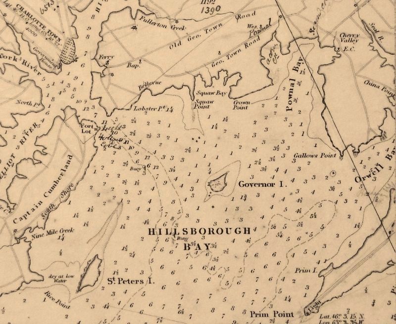
2. Marker detail: Sir Charles Augustus FitzRoy
and James Peake, Sr.
and James Peake, Sr.
Sir Charles Augustus FitzRoy was Prince Edward Island’s eighth Governor, and served from 1837-1841.
Sir Charles Augustus FitzRoy était le 8e gouverneur de l'Île-du-Prince-Édouard. Il a été en poste de 1837 à 1841.
Sir Charles Augustus FitzRoy était le 8e gouverneur de l'Île-du-Prince-Édouard. Il a été en poste de 1837 à 1841.
Topics and series. This historical marker is listed in these topic lists: Colonial Era • Government & Politics • Industry & Commerce • Waterways & Vessels. In addition, it is included in the Lighthouses series list. A significant historical year for this entry is 1841.
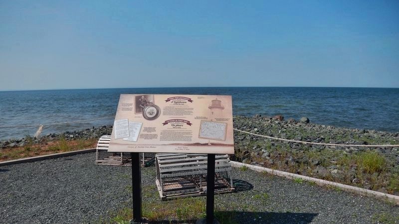
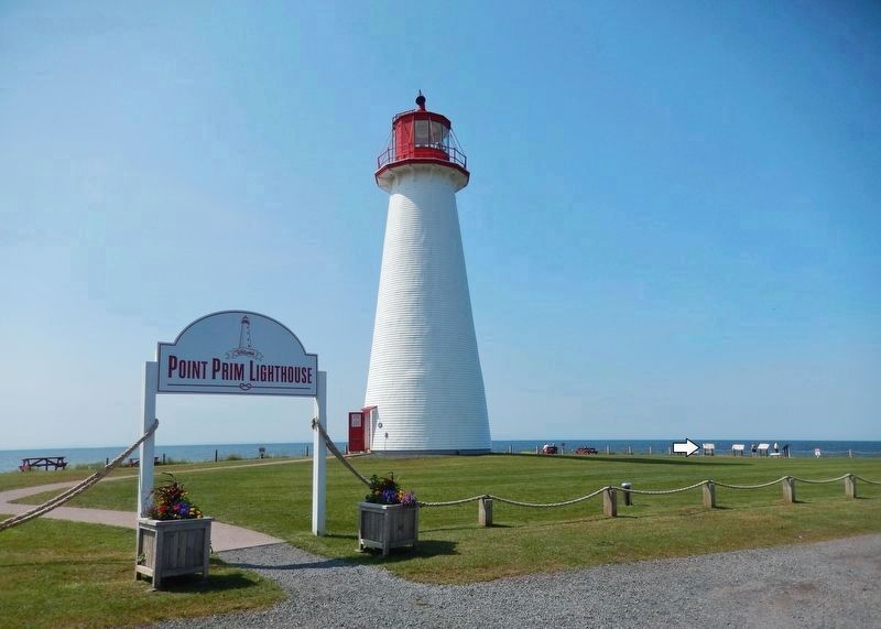
Location. 46° 2.999′ N, 63° 2.378′ W. Marker is in Belfast, Prince Edward Island, in Queens County. Marker can be reached from Point Prim Road (Prince Edward Island Route 209) 11 kilometers west of Trans-Canada Highway (National Route 1). Marker is located at the southwest corner of the Point Prim Lighthouse grounds, about 50 yards west of the lighthouse, overlooking Northumberland Strait. Touch for map. Marker is at or near this postal address: 2147 Point Prim Road, Belfast PE C0A 1A0, Canada. Touch for directions.
Other nearby markers. At least 8 other markers are within 18 kilometers of this marker, measured as the crow flies. Reliable Communication / Des Communications Fiables (here, next to this marker); The Early Years / Les Premières Années (here, next to this marker); A Lighthouse is Born / La Naissance du Phare (here, next to this marker); The 1864 Charlottetown Conference / La Conférence de Charlottetown de 1864 (a few steps from this marker);
Courtesy PAROPEI RG 3, Series 5, Vol.17
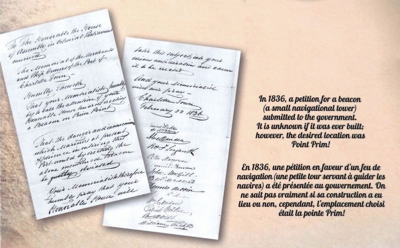
3. Marker detail: 1836 Beacon Petition /
1836 Pétition de Beacon
1836 Pétition de Beacon
In 1836, a petition for a beacon (a small navigational tower) submitted to the government. It is unknown if it was ever built; however, the desired location was Point Prim!
En 1836, une pétition en faveur d'un feu de navigation (une petite tour servant à guider les navires) a été présentée au gouvernement. On ne sait pas vraiment si sa construction a eu lieu ou non, cependant, emplacement choisi était la pointe Prim!
En 1836, une pétition en faveur d'un feu de navigation (une petite tour servant à guider les navires) a été présentée au gouvernement. On ne sait pas vraiment si sa construction a eu lieu ou non, cependant, emplacement choisi était la pointe Prim!
Related markers. Click here for a list of markers that are related to this marker. Point Prim Lighthouse, Belfast, PE
Credits. This page was last revised on September 29, 2019. It was originally submitted on September 28, 2019, by Cosmos Mariner of Cape Canaveral, Florida. This page has been viewed 146 times since then and 18 times this year. Photos: 1, 2, 3, 4, 5, 6. submitted on September 28, 2019, by Cosmos Mariner of Cape Canaveral, Florida.
