Central Business District in Houston in Harris County, Texas — The American South (West South Central)
San Jacinto Street
Inscription.
San Jacinto Street
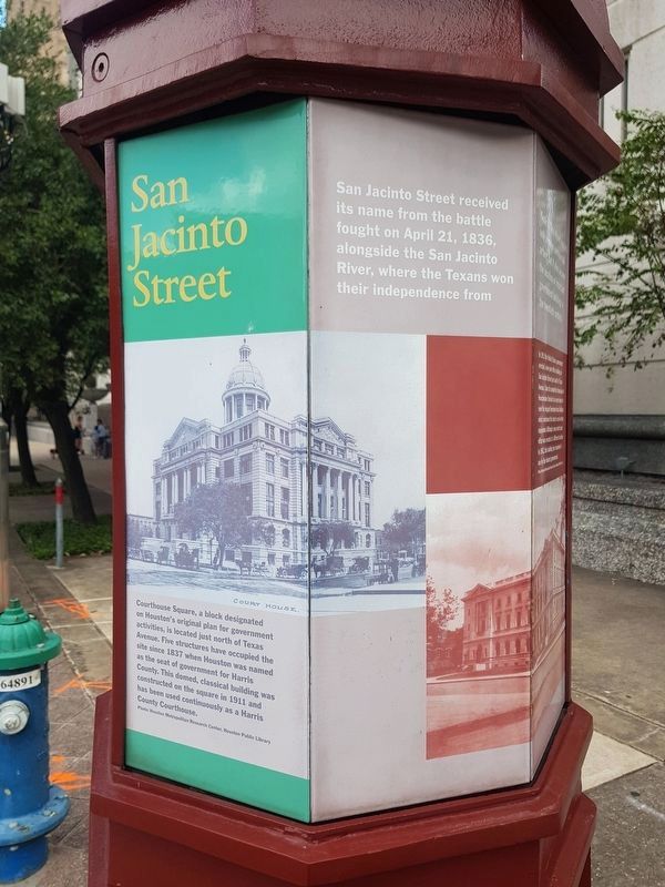
San Jacinto Street received its name from the battle fought on April 21, 1836, alongside the San Jacinto River, where the Texans won their independence from Mexico. This street was not only a major commercial artery, but it also became the location of important government buildings in the twentieth century.
Courthouse Square, a block designated on Houston’s original plan for government activities, is located just north of Texas Avenue. Five structures have occupied the site since 1837 when Houston was named as the seat of government for Harris County. This domed, classical building was constructed on the square in 1911 and has been used continuously as a Harris County Courthouse.
Photo: Houston Metropolitan Research Center, Houston Public Library
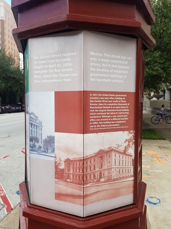
In 1911 the United States government erected a new post office building on San Jacinto Street just south of Texas Avenue. Upon its completion thousands of Houstonians flocked to an open house to view the elegant limestone-faced building which contained the latest in mail-sorting equipment. Although a new central post office was erected at a different location in 1962, this building has remained in use by the federal government.
Photo: Houston Metropolitan Research Center, Houston Public Library
Topics. This historical marker is listed in these topic lists: Man-Made Features • Notable Buildings. A significant historical date for this entry is April 21, 1836.
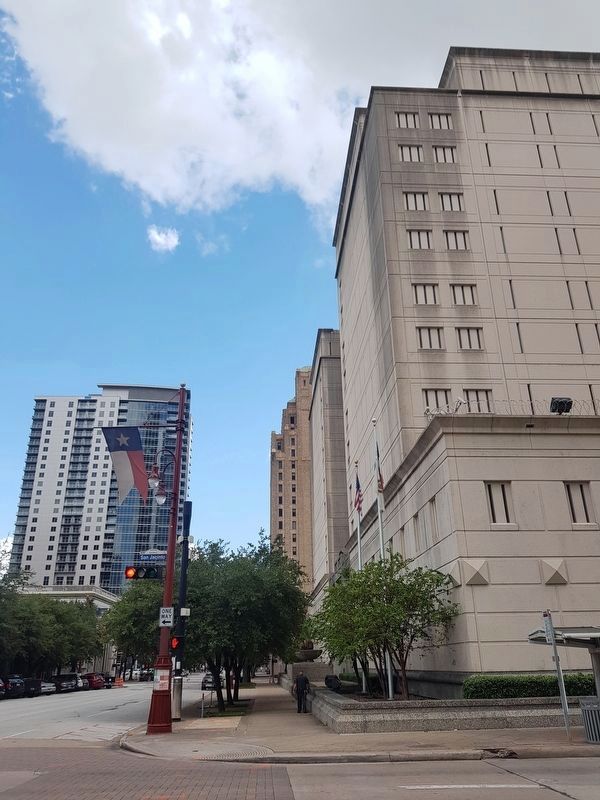
Location. 29° 45.528′ N, 95° 21.646′ W. Marker is in Houston, Texas, in Harris County. It is in the Central Business District. Marker is at the intersection of Texas Street and San Jacinto Street, on the right when traveling east on Texas Street. Touch for map. Marker is in this post office area: Houston TX 77002, United States of America. Touch for directions.
Other nearby markers. At least 8 other markers are within walking distance of this marker. Christ Church Cathedral (within shouting distance of this marker); a different marker also named Christ Church Cathedral (about 300 feet away, measured in a direct line); Thomas William House, Jr. (about 600 feet away); Site of Home of President Sam Houston (about 600 feet away); Busy Corners (about 700 feet away); Site of General Sam Houston House (about 700 feet away); Former Site of Capitol, Republic of Texas (about 800 feet away); Site of Old Houston Academy (about 800 feet away). Touch for a list and map of all markers in Houston.
Credits. This page was last revised on February 1, 2023. It was originally submitted on October 1, 2019, by J. Makali Bruton of Accra, Ghana. This page has been viewed 312 times since then and 35 times this year. Photos: 1, 2, 3. submitted on October 1, 2019, by J. Makali Bruton of Accra, Ghana.


