Liberty in Clay County, Missouri — The American Midwest (Upper Plains)
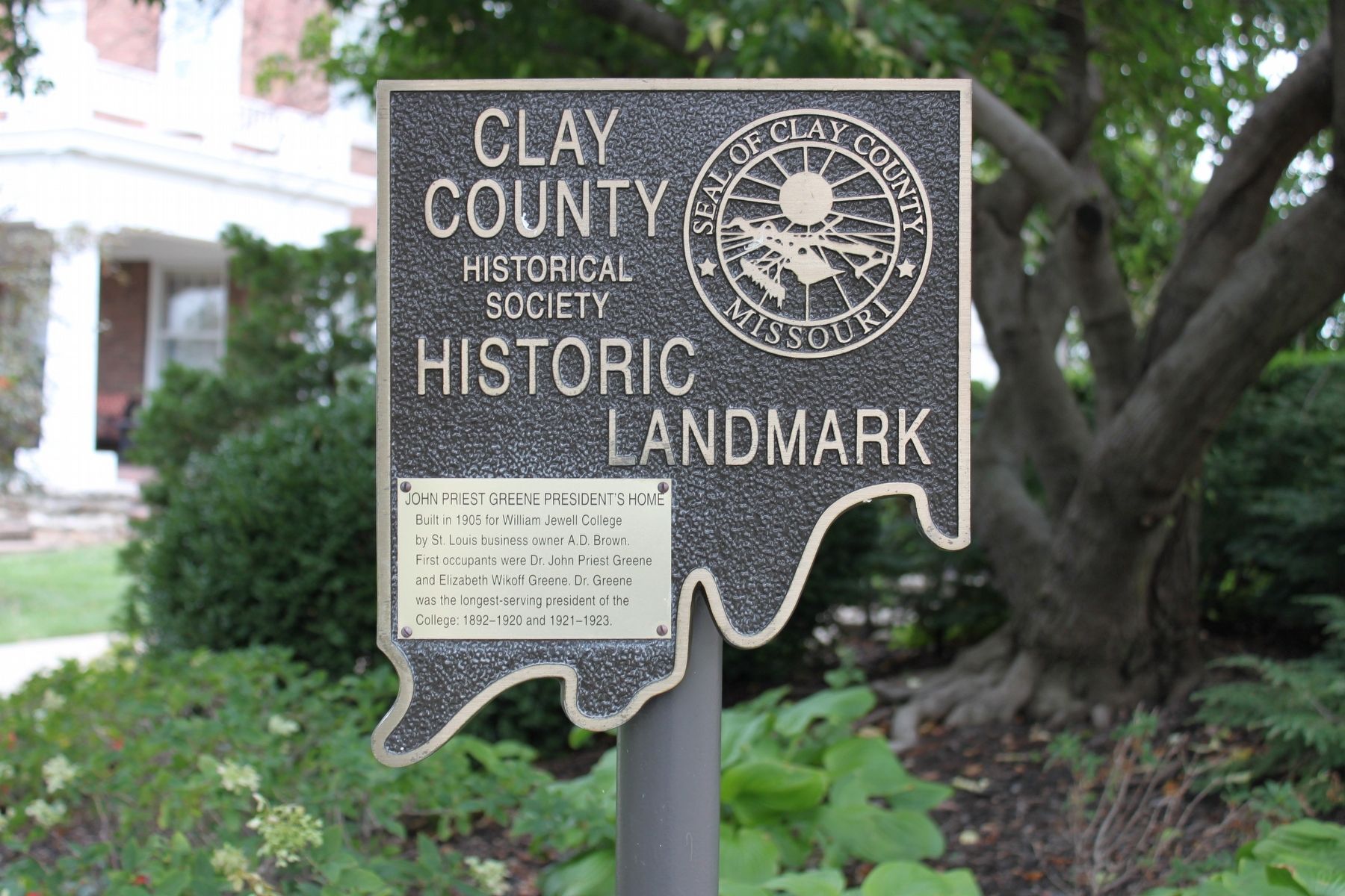
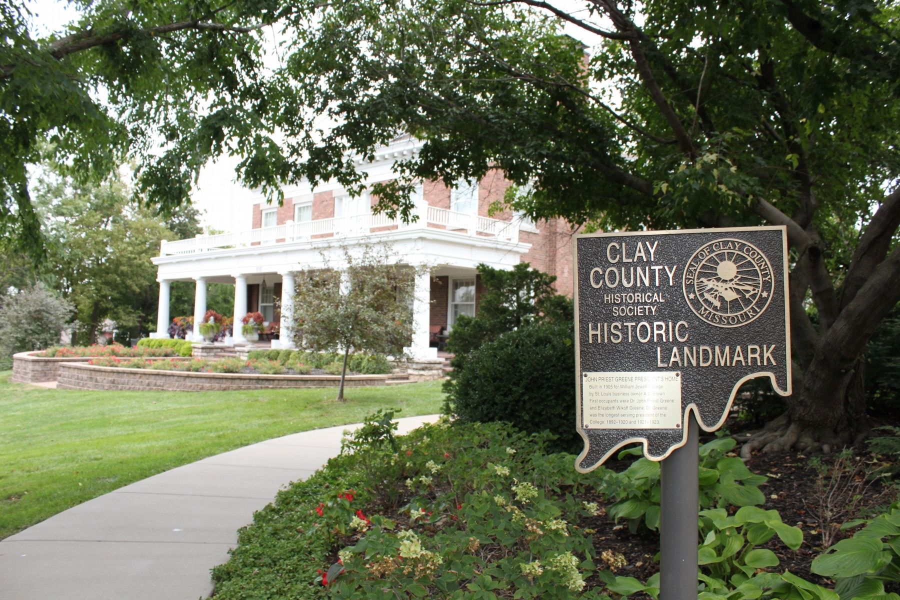
John Priest Greene President's Home
Clay County Historic Landmark
Inscription.
Built in 1905 for William Jewell College by St. Louis business owner A.D. Brown. First occupants were Dr. John Priest Greene and Elizabeth Wikoff Greene. Dr. Greene was the longest-serving president of the College: 1892-1920 and 1921-1923.
Erected by Clay County Historical Society.
Topics. This historical marker is listed in this topic list: Education. A significant historical year for this entry is 1905.
Location. 39° 14.933′ N, 94° 24.817′ W. Marker is in Liberty, Missouri, in Clay County. Marker can be reached from Miller Avenue, 0 miles east of North Jewell Street. You must walk north from East Mississippi Street or south from Miller Avenue after you park. The marker is located southeast of the private residence. North Jewell Street is west of the home but there is a wall on that side of the property. Touch for map. Marker is in this post office area: Liberty MO 64068, United States of America. Touch for directions.
Other nearby markers. At least 8 other markers are within walking distance of this marker. Civil War Memorial (within shouting distance of this marker); Mass Grave Site (within shouting distance of this marker); Grand River Baptist Church (within shouting distance of this marker); The Trenches On The Hill (within shouting distance of this marker); "The Old Graveyard" "Mt. Memorial Cemetery" (about 400 feet away, measured in a direct line); Goldman-Duckworth House (approx. ¼ mile away); Frank Hughes Memorial Library (approx. ¼ mile away); Methodist Episcopal Church Founded 1822 (approx. 0.3 miles away). Touch for a list and map of all markers in Liberty.
Credits. This page was last revised on July 13, 2020. It was originally submitted on October 3, 2019, by Michael E Sanchez, Jr. of Kansas City, Missouri. This page has been viewed 385 times since then and 29 times this year. Last updated on July 12, 2020, by Elizabeth Watson of Chestertown, Maryland. Photos: 1, 2. submitted on October 3, 2019, by Michael E Sanchez, Jr. of Kansas City, Missouri. • Devry Becker Jones was the editor who published this page.

