Bolton in Tolland County, Connecticut — The American Northeast (New England)
Bolton
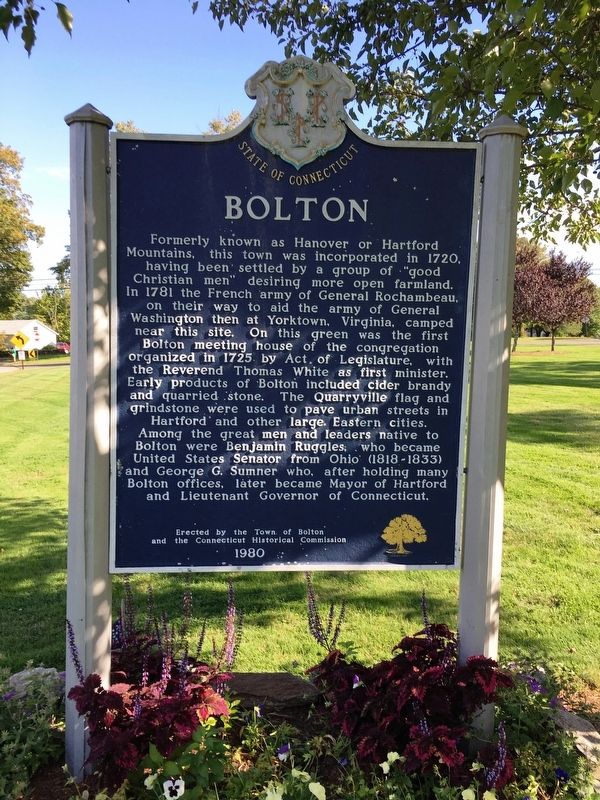
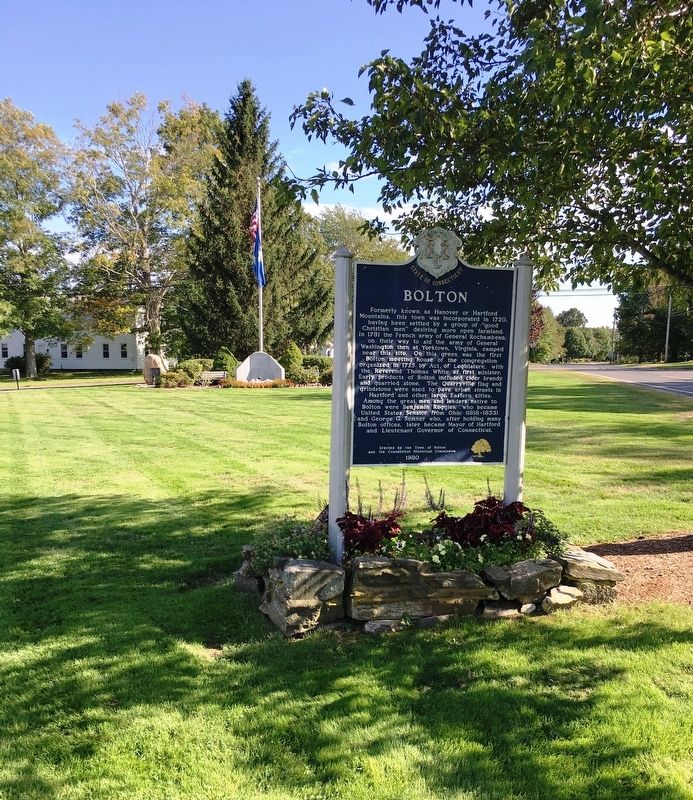
Formally known as Hanover or Hartford Mountains, this town was incorporated in 1720, having been settled by a group of “good Christian men” desiring more open farmland. In 1781 the French army of General Rochambeau, on their way to aid the army of General Washington then at Yorktown, Virginia, camped near this site. On this green was the first Bolton meeting house of the congregation organized in 1725 by Act of Legislature, with the Reverend Thomas White as first minister. Early products of Bolton included cider, brandy and quarried stone. The Quarryville flag and grindstone were used to pave urban streets in Hartford and other large Eastern cities. Among the great men and leaders native to Bolton were Benjamin Ruggles, who became United States Senator from Ohio (1818-1833) and George G. Sumner who, after holding many Bolton offices, later became Mayor of Hartford and Lieutenant Governor of Connecticut.
Erected 1980 by Town of Bolton, Connecticut Historical Commission.
Topics and series. This historical marker is listed in these topic lists: Colonial Era • Industry & Commerce • Settlements & Settlers. In addition, it is included in the Former U.S. Presidents: #01 George Washington series list.
Location. 41° 46.182′ N, 72° 26.003′ W. Marker is in Bolton, Connecticut, in Tolland County. Marker is at the intersection of Bolton Center Rd and Hebron Rd, on the right when traveling east on Bolton Center Rd. Located on the town commons in front of Bolton Town Hall. Touch for map. Marker is at or near this postal address: 222 Bolton Center Rd, Bolton CT 06043, United States of America. Touch for directions.
Other nearby markers. At least 8 other markers are within 4 miles of this marker, measured as the crow flies. Bolton Veterans Monument (within shouting distance of this marker); Bolton Veterans Monument and Honor Roll (within shouting distance of this marker); Bolton World War I Monument (within shouting distance of this marker); Washington – Rochambeau Revolutionary Route (within shouting distance of this marker); Rochambeau Encampment (approx. 0.4 miles away); Woodbridge Tavern (approx. 3.6 miles away); The Grant Farm / Storrs House (approx. 3.7 miles away); Manchester Korean Conflict Memorial (approx. 3.9 miles away). Touch for a list and map of all markers in Bolton.
Also see . . .
1. Bolton, Connecticut. Town website homepage (Submitted on October 6, 2019, by Michael Herrick of Southbury, Connecticut.)
2. Bolton, Connecticut. Wikipedia entry (Submitted on October 6, 2019, by Michael Herrick of Southbury, Connecticut.)
Credits. This page was last revised on April 2, 2023. It was originally submitted on October 5, 2019, by Brandon D Cross of Flagler Beach, Florida. This page has been viewed 220 times since then and 29 times this year. Photos: 1, 2. submitted on October 5, 2019, by Brandon D Cross of Flagler Beach, Florida. • Michael Herrick was the editor who published this page.

