Mackinaw City in Cheboygan County, Michigan — The American Midwest (Great Lakes)
Lake Level Research on the Great Lakes
Mackinaw City Historical Pathway
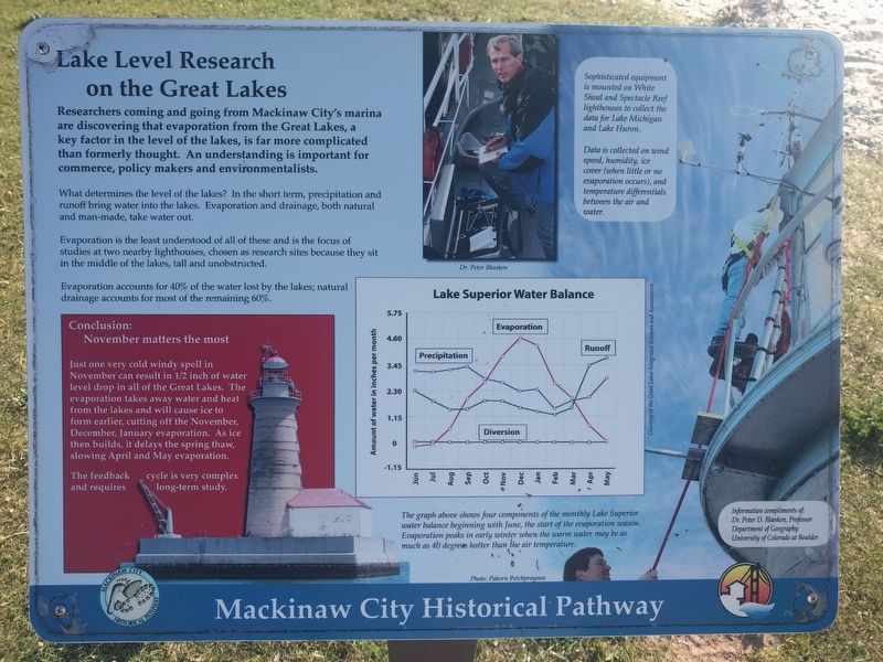
Researchers coming and going from Mackinaw City's marina are discovering that evaporation from the Great Lakes, a key factor in the level of the lakes, is far more complicated than formerly thought. An understanding is important for commerce, policy makers and environmentalists.
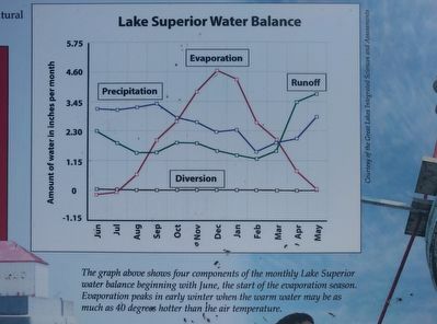
What determines the level of the lakes? In the short term, precipitation and runoff bring water into the lakes. Evaporation and drainage, both natural and man-made, take water out.
Evaporation is the least understood of all of these and is the focus of studies at two nearby lighthouses, chosen as research sites because they sit in the middle of the lakes, tall and unobstructed.
Evaporation accounts for 40% of the water lost by the lakes; natural drainage accounts for most of the remaining 60%.
Lower left box:
Conclusion:
November matters the most
Just one very cold windy spell in November can result in 1/2 inch of water level drop in all of the Great Lakes. The evaporation takes away water and heat from the lakes and will cause ice to form earlier, cutting off the November, December, January evaporation. As ice then builds, it delays the spring thaw, slowing April and May evaporation.
The feedback cycle is very complex and requires long-term study.
Upper right box:
Sophisticated equipment is mounted on White Shoal and Spectacle Reef lighthouses to collect the data for Lake Michigan and Lake Huron.
Data is collected on wind speed, humidity, ice cover (when little or no evaporation occurs), and temperature differentials between the air and water.
Lower right box:
Information compliments of:
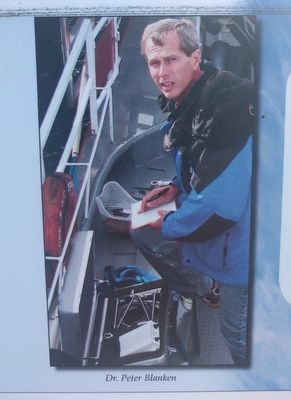
Dr. Peter D. Blanken, Professor
Department of Geography
University of Colorado at Boulder
Topics. This historical marker is listed in this topic list: Environment.
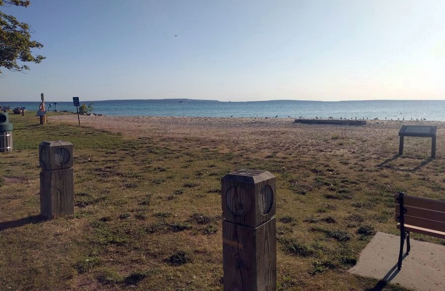
Location. 45° 47.009′ N, 84° 43.387′ W. Marker is in Mackinaw City, Michigan, in Cheboygan County. Marker can be reached from North Huron Avenue south of East Jamet Street, on the right when traveling north. Marker is in Wawatam Park. Touch for map. Marker is at or near this postal address: 300 North Huron Avenue, Mackinaw City MI 49701, United States of America. Touch for directions.
Other nearby markers. At least 8 other markers are within walking distance of this marker. John L. (Jack) Staffan • Chief Wawatam (a few steps from this marker); Mackinaw Boat - Mackinaw Coat (a few steps from this marker); Historic Timeline (a few steps from this marker); Our weather (within shouting distance of this marker); A Bridge for Mackinac (within shouting distance of this marker); Island-Hopping the Straits

Courtesy of the Great Lakes Integrated Sciences and Assessments
2. Lake Level Research on the Great Lakes Marker - graph
The graph above shows four components of the monthly Lake Superior water balance beginning with June, the start of the evaporation season. Evaporation peaks in early winter when the warm water may be as much as 40 degrees hotter than the air temperature.
Credits. This page was last revised on October 10, 2019. It was originally submitted on October 10, 2019, by Joel Seewald of Madison Heights, Michigan. This page has been viewed 115 times since then and 7 times this year. Photos: 1, 2, 3, 4. submitted on October 10, 2019, by Joel Seewald of Madison Heights, Michigan.


