Franklin in Williamson County, Tennessee — The American South (East South Central)
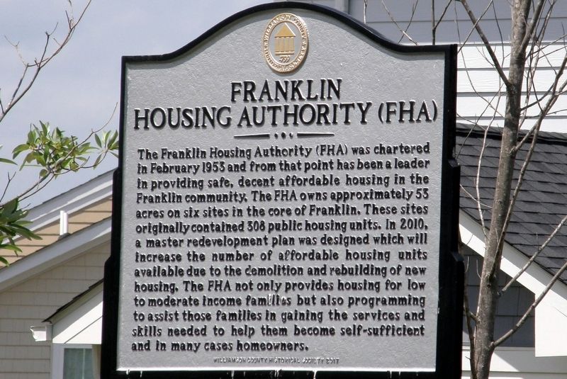
Franklin Housing Authority (FHA)/ Reddick Street
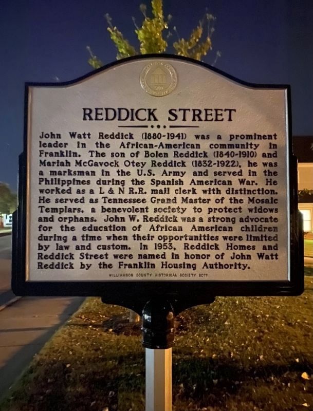
Reddick Street
John Watt Reddick (1880-1941) was a prominent leader in the African-American community in Franklin. The son of Bolen Reddick (1840-1910) and Mariah McGavock Otey Reddick (1832-1922), he was a marksman in the U.S. Army and served in the Philippines during the Spanish American War. He worked as a L & N R.R. mail clerk with distinction. He served as Tennessee Grand Master of the Mosaic Templars, a benevolent society to protect widows and orphans. John W. Reddick was a strong advocate for the education of African American children during a time when their opportunities were limited by law and custom. In 1953, Reddick Homes and Reddick Street were named in honor of John Watt Reddick by the Franklin Housing Authority.
Erected 2017 by Williamson County Historical Society.
Topics and series. This historical marker is listed in these topic lists: African Americans • Education • Settlements & Settlers. In addition, it is included in the Tennessee – Williamson County Historical Society series list. A significant historical year for this entry is 1953.
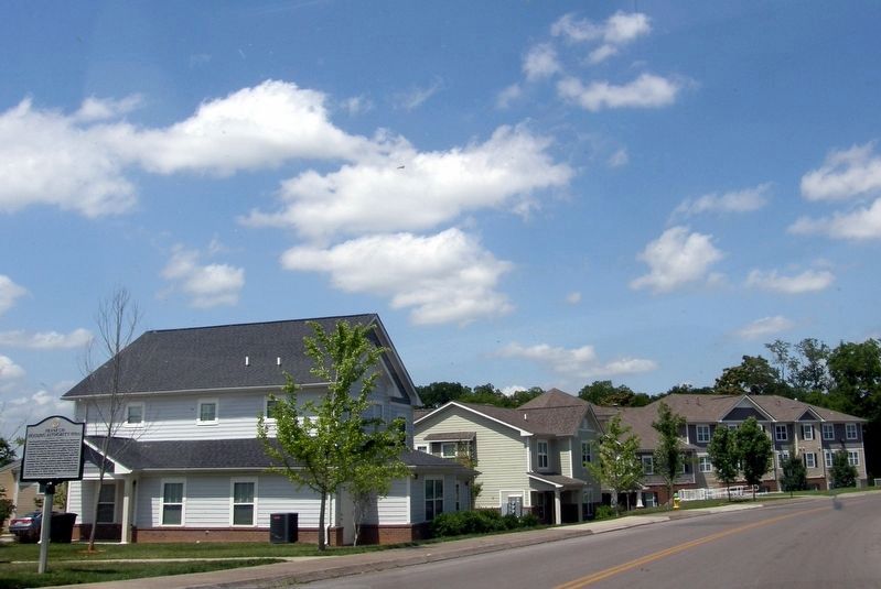
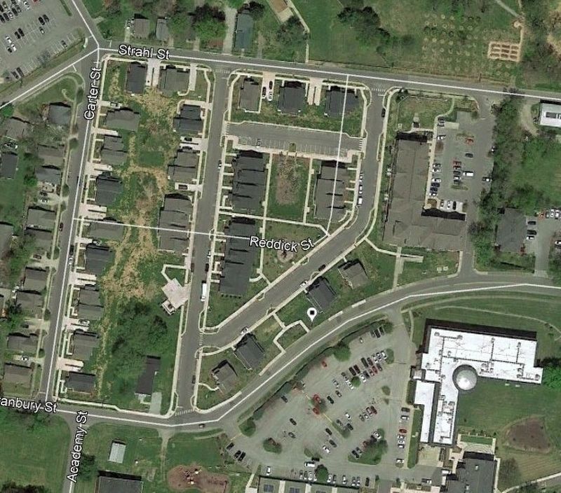
Location. 35° 54.907′ N, 86° 52.547′ W. Marker is in Franklin, Tennessee, in Williamson County. Marker is on Granbury Street, 0.1 miles west of Columbia Avenue (Business U.S. 31), on the right when traveling west. Touch for map. Marker is in this post office area: Franklin TN 37064, United States of America. Touch for directions.
Other nearby markers. At least 8 other markers are within walking distance of this marker. Beasley Town / Bate's Division on the Western Flank (within shouting distance of this marker); Epic Struggle in the Carter Garden (about 700 feet away, measured in a direct line); The Carter Farm (about 700 feet away); Battle Ground Academy (about 700 feet away); a different marker also named The Carter Farm (about 800 feet away); Battle of Franklin (about 800 feet away); 44th Missouri Infantry (about 800 feet away); a different marker also named The Carter Farm (approx. 0.2 miles away). Touch for a list and map of all markers in Franklin.
Also see . . .
1. Franklin Housing Authority website. (Submitted on October 14, 2019, by Larry Gertner of New York, New York.)
2. John Watt Reddick. Find A Grave entry (Submitted on January 1, 2021, by Larry Gertner of New York, New York.)
Credits. This page was last revised on January 1, 2021. It was originally submitted on October 14, 2019, by Larry Gertner of New York, New York. This page has been viewed 175 times since then and 20 times this year. Last updated on December 31, 2020, by Darren Jefferson Clay of Duluth, Georgia. Photos: 1. submitted on October 14, 2019, by Larry Gertner of New York, New York. 2. submitted on December 31, 2020, by Darren Jefferson Clay of Duluth, Georgia. 3, 4, 5. submitted on October 14, 2019, by Larry Gertner of New York, New York. 6. submitted on January 1, 2021, by Larry Gertner of New York, New York. • J. Makali Bruton was the editor who published this page.


