Southwestern Sacramento in Sacramento County, California — The American West (Pacific Coastal)
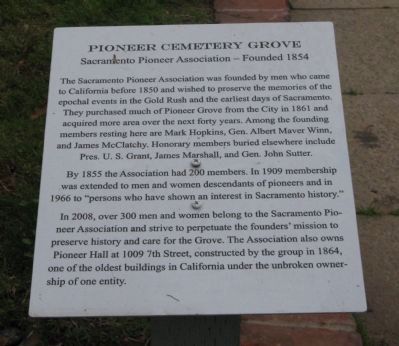
Pioneer Cemetery Grove
Sacramento Pioneer Association – Founded 1854
The Sacramento Pioneer Association was founded by men who came to California before 1850 and wished to preserve the memories of the epochal events in the Gold Rush and the earliest days of Sacramento. They purchased much of Pioneer Grove from the City in 1861 and acquired more area over the next forty years. Among the founding members resting here are Mark Hopkins, Gen. Albert Maver Winn, and James McClatchy. Honorary members buried elsewhere include Pres. U.S. Grant, James Marshall, and Gen. John Sutter.
By 1855 the Association had 200 members. In 1909 membership was extended to men and women descendants of pioneers and in 1966 to “persons who have shown an interest in Sacramento history.”
In 2008, over 300 men and women belong to the Sacramento Pioneer Association and strive to perpetuate the founders’ mission to preserve history and care for the Grove. The Association also owns Pioneer Hall at 1009 7th Street, constructed by the group in 1864, one of the oldest buildings in California under the unbroken ownership of one entity.
Erected 2008 by Sacramento Pioneer Association.
Topics and series. This historical marker is listed in these topic lists: Cemeteries & Burial Sites • Education • Settlements & Settlers. In addition, it is included in the Former U.S. Presidents: #18 Ulysses S. Grant series list. A significant historical year for this entry is 1850.
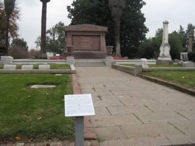
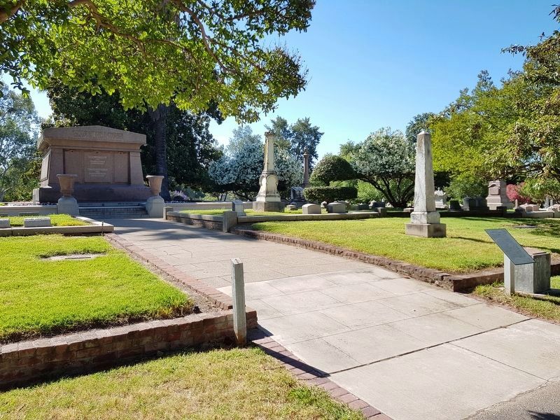
Location. This marker has been replaced by another marker nearby. It was located near 38° 33.707′ N, 121° 30.183′ W. Marker was in Sacramento, California, in Sacramento County. It was in Southwestern Sacramento. Marker is located at the Pioneer Grove section of the Old Sacramento City Cemetery in front of the Mark Hopkins Monument. Touch for map. Marker was at or near this postal address: 1000 Broadway, Sacramento CA 95818, United States of America. Touch for directions.
Other nearby markers. At least 8 other markers are within walking distance of this location. Pioneer Grove Cemetery (here, next to this marker); Mark Hopkins (here, next to this marker); Mark Hopkins Monument (a few steps from this marker); Alexander B. Nixon, M.D. (within shouting distance of this marker); Rev. O.C. Wheeler D.D., L.L.D. (within shouting distance of this marker); Alfred A. Hart (within shouting distance of this marker); General Albert Maver Winn (within shouting distance of this marker); a different marker also named Pioneer Cemetery Grove (within shouting distance of this marker). Touch for a list and map of all markers in Sacramento.
More about this marker. The marker was removed and placed with an updated marker.
Regarding Pioneer Cemetery Grove. Also see the following Nearby Markers for additional information: Mark Hopkins Markers (2), Gen. Albert Maver Winn, Rev. O.C. Wheeler D.D., L.L.D., and another Pioneer Cemetery Grove Marker for additional information.
Related marker. Click here for another marker that is related to this marker. Replacement Pioneer Grove Cemetery Marker
Credits. This page was last revised on July 2, 2023. It was originally submitted on December 4, 2008, by Syd Whittle of Mesa, Arizona. This page has been viewed 1,231 times since then and 11 times this year. Photos: 1, 2. submitted on December 4, 2008, by Syd Whittle of Mesa, Arizona. 3. submitted on July 7, 2019, by J. Makali Bruton of Accra, Ghana.


