Terra Bella in Tulare County, California — The American West (Pacific Coastal)
The Original Walker Pass
Inscription.
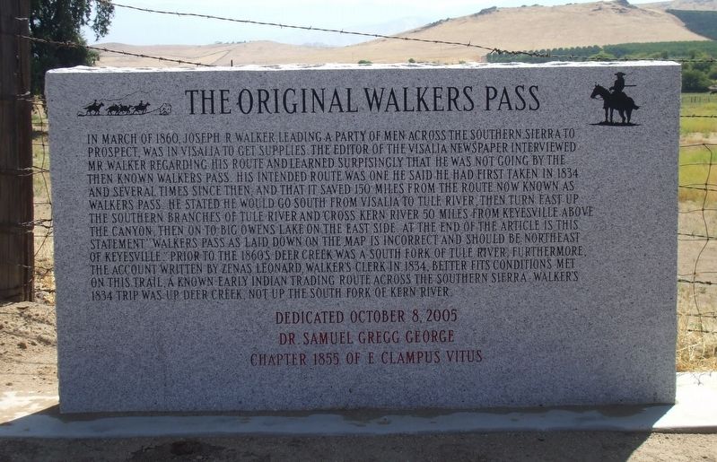
In March of 1860, Joseph R. Walker, leading a party of men across the Southern Sierra to prospect, was in Visalia to get supplies. The editor of the Visalia newspaper interviewed Mr. Walker regarding his route and learned surpisingly that he was not going by the then known Walkers Pass. His intended route was one he said he had first taken in 1834 and several times since then, and that it saved 150 miles from the route now known as Walkers Pass. He stated he would go South from Visalia to Tule River, then turn East up the Southern branches of Tule River and cross Kern River 50 miles from Keyesville above the canyon, then on to Big Owens Lake on the East Side. At the end of the article is this statement "Walkers Pass as laid down on the map is incorrect and should be Northeast of Keyesville." Prior to the 1860's Deer Creek was a South fork of Tule River, furthermore, the account written by Zenas Leonard, Walker's clerk in 1834, better fits conditions met on this trail, a known early Indian trading route across the Southern Sierra. Walker's 1834 trip was up Deer Creek, not up the South Fork of Kern River.
Erected 2005 by Dr. Samuel Gregg George Chapter 1855 of E Clampus Vitus.
Topics and series. This historical marker is listed in these topic lists: Exploration • Notable Events. In addition, it is included in the E Clampus Vitus series list. A significant historical month for this entry is March 1860.
Location. 35° 59.743′ N, 118° 58.971′ W. Marker is in Terra Bella, California, in Tulare County. Marker is on Road 264, on the right when traveling north. Touch for map. Marker is at or near this postal address: 11232-11316 Road 264, Terra Bella CA 93270, United States of America. Touch for directions.
Other nearby markers. At least 8 other markers are within 6 miles of this marker, measured as the crow flies. Vandalia (approx. 4 miles away); The Tule River Stage Station (approx. 4.2 miles away); Tule River Indian Reservation (approx. 4.4 miles away); Gabriel Moraga (approx. 4.6 miles away); Nettie Smith's Place (approx. 5.3 miles away); Dr. Samuel Gregg George (approx. 5.3 miles away); Elisha Packwood (approx. 5.4 miles away); Porterville's Badman (approx. 5.4 miles away).
Credits. This page was last revised on November 10, 2019. It was originally submitted on October 28, 2019, by Frank Gunshow Sanchez of Hollister, California. This page has been viewed 350 times since then and 47 times this year. Photo 1. submitted on October 28, 2019, by Frank Gunshow Sanchez of Hollister, California. • Syd Whittle was the editor who published this page.
Editor’s want-list for this marker. Wide area view of the marker and its surroundings. • Can you help?
