Near Fort Benton in Chouteau County, Montana — The American West (Mountains)
Chouteau County
Inscription.
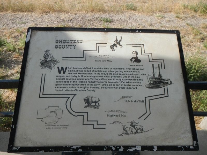
When Lewis and Clark found this land of mountains, river valley and plains, it was so full of buffalo and other grazing animals that it seemed like Paradise. In the1880's the area became vast open cattle ranges, and today Montana's greatest wheat producer. On e of the nine original counties in Montana Territory, Chouteau County extended from the east slopes of the Rockies halfway to North Dakota in 1864. When county gerrymandering occurred in the early 1900's, all or part of twelve counties came from within its original borders. Be sure to visit other important historic sites in Chouteau County.
Topics. This historical marker is listed in this topic list: Political Subdivisions.
Location. 47° 48.892′ N, 110° 42.569′ W. Marker is near Fort Benton, Montana, in Chouteau County. Marker is on U.S. 87 near County Road 386, on the right when traveling north. Touch for map. Marker is in this post office area: Fort Benton MT 59442, United States of America. Touch for directions.
Other nearby markers. At least 8 other markers are within 2 miles of this marker, measured as the crow flies. Mullan Road (here, next to this marker); Fort Benton (here, next to this marker); Steamboat Navigation (here, next to this marker); Lewis and Clark Trail (here, next to this marker); Fur Trade Posts (here, next to this marker); Whoop-up Trail (here, next to this marker); St. Paul's Episcopal Church (approx. 1.7 miles away); a different marker also named St. Paul's Episcopal Church (approx. 1.7 miles away). Touch for a list and map of all markers in Fort Benton.
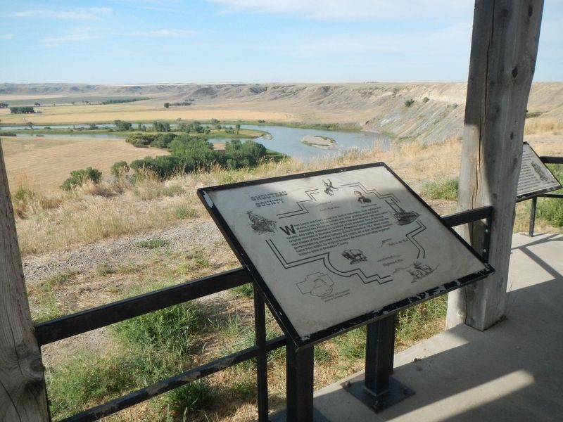
More about this marker. This and six other markers are located at the kiosk overlooking the Missouri River.
Credits. This page was last revised on October 31, 2019. It was originally submitted on October 31, 2019, by Barry Swackhamer of Brentwood, California. This page has been viewed 166 times since then and 12 times this year. Photos: 1, 2. submitted on October 31, 2019, by Barry Swackhamer of Brentwood, California.

