Yuriria, Guanajuato, Mexico — The Central Highlands (North America)
Lake Yuriria
Ruta de los Conventos - The Convent Route
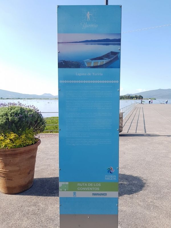
Yuriria no sólo sobresale por su arquitectura monumental, también lo hace por sus recursos naturales, uno de ellos es la Laguna de Yuriria.
Este cuerpo de agua es particularmente importante debido a que su formación no tiene un origen natural, se trata de una obra humana, de hecho, fue la primera obra hidráulica creada por españoles en America Latina en 1548. Fray Diego de Alvarado dirigió la construcción de esta laguna, así como la del templo y ex convento de San Agustín.
Según datos historicos, antes de iniciar la obra, en Ia zona predominaban los pantanos, y la proliferación de mosquitos provocaba epidemias de paludismo. La edificación de la laguna solucionó diversas problemáticas en aquella zona: cubrir la zona pantanosa, combatir la reproducción del mosquito transmisor de paludismo, asegurar el abastecimiento de agua potable para cubrir las necesidades del convento.
La formación de una laguna como esta, habría sido imposible sin la construcción del canal Taramatacheo, que sirvió para conducir el agua del Río Grande (hoy Río Lerma) hacia la zona de pantanos.
La presencia de la laguna de Yuriria tuvo también una función social, pues a la llegada de los españoles, la población nativa se asentaba cerca del Lago Crater la Joya pero, con la construcción del canal Taramatacheo, el poblado cambió su organización social, asentándose en las cercanías de la laguna y del convento.
Hoy, la Laguna de Yuriria mide unos 150.205 kilometros cuadrados, en esa área hay diez islotes denominados: San Pedro, Puranque, Peñón de Vargas, El Patol, Marío, Las Cabras, El Fuerte y otros más.
En 1927, con Ia finalidad de terminar con los intentos de desecar la laguna, el lugar fue nacionalizado, apoyando así a las actividades de protección que los habitantes de Yuriria habían emprendido.
Hoy la Laguna de Yuriria es hogar de numerosas especies de aves, animales y plantas; tejones, coyotes, murciélagos, mapaches, zorrillos, musarañas, reptiles, ranas, tilapias, víboras de cascabel, entre otros. Ademas, parte de la vegetación es usada como forraje, leña, aromatizantes y pastizales.
Laguna de Yuriria
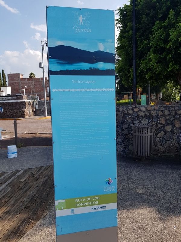
Lake Yuriria
Yuriria is not only remarkable for its monumental architecture, but also for its natural resources, one of them is the Yuriria Lagoon.
This body of water is particularly important because it is not a natural lagoon, it was the first hydraulic work created by the Spaniards in Latin America in 1548.
The man in charge of this task was Friar Diego de Chávez y Alvarado and of the building of the church and ex-convent of San Agustín.
According to historical data, the area was dominated with swamps and the proliferation of mosquitoes caused malaria epidemics. The building of the lagoon solved various problems in that area at the same time: the wetland cover, the fight against the reproduction of the malaria mosquito and ensuring the supply of potable water for the convent.
The formation of a lagoon as this would have been impossible without the construction of the Taramatacheo canal, which was used to bring water from the Rio Grande (Rio Lerma today) to the swamp area.
The presence of the Lagoon of Yuriria also had a social benefit, since the arrival of the Spaniards, the native population was settled near the Crater Lake La Joya but with the construction of the Taramatacheo canal, the town changed its organization, settling near the lagoon and the convent.
Today the Yuriria Lagoon is about 150.205 square kilometers and it has ten islets: San Pedro, Puranque, Peñón de Vargas, the Patol, Mario, Las Cabras, El Fuerte, and more.
In 1927, trying to stop the attempts to drain the lagoon, the area was nationalized, and supported the protection activities that the inhabitants of Yuriria had undertaken.
Today,
Yuriria Lagoon is home to numerous species of birds, animals and plants: badgers, coyotes, bats, raccoons, skunks, shrews, reptiles, frogs, tilapia, and rattlesnakes, among others. In addition, part of the vegetation is used as fodder, fuel wood, flavorings and pastures.
Topics. This historical marker is listed in these topic lists: Colonial Era • Man-Made Features • Parks & Recreational Areas • Waterways & Vessels. A significant historical year for this entry is 1548.
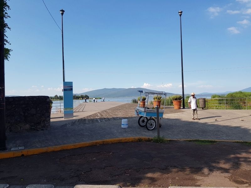
Location. 20° 13.272′ N, 101° 8.208′ W. Marker is in Yuriria, Guanajuato. Marker is at the intersection of Embarcadero and Calle Santa María, on the left when traveling east on Embarcadero. Touch for map. Marker is in this post office area: Yuriria GTO 38940, Mexico. Touch for directions.
Other nearby markers. At least 8 other markers are within walking distance of this marker. Chapel of Santa María (about 150 meters away, measured in a direct line); Sanctuary of the Virgen de Guadalupe (approx. one kilometer away); Ex Convento de San Pablo; Founded by Agustinians (approx. one kilometer away); Convent of Saint Augustine of Yuriria (approx. one kilometer away); Monument to Friar Diego de Chávez (approx. one kilometer away); General José María Magaña (approx. 1.1 kilometers away); Miguel Hidalgo in Yuriria (approx. 1.1 kilometers away); Presidencia Municipal / Palacio Municipal / City Hall Town (approx. 1.1 kilometers away). Touch for a list and map of all markers in Yuriria.
Photographed By J. Makali Bruton, September 21, 2019
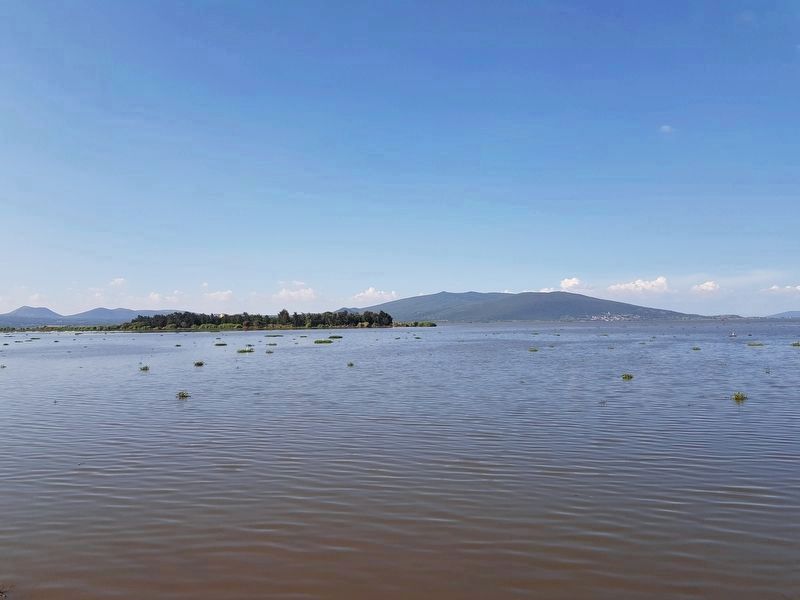
4. Lake Yuriria and San Pedro Island (Fuerte Liceaga)
This island was the scene of a battle during Mexico's War of Independence. It was a hideout spot for insurgents, who printed a rebel newspaper there for a few years before Iturbide, while still fighting for the Spanish, attacked the island.
Credits. This page was last revised on November 1, 2019. It was originally submitted on November 1, 2019, by J. Makali Bruton of Accra, Ghana. This page has been viewed 192 times since then and 24 times this year. Photos: 1, 2, 3, 4, 5. submitted on November 1, 2019, by J. Makali Bruton of Accra, Ghana.
