Kent in Northwest Washington in Washington, District of Columbia — The American Northeast (Mid-Atlantic)
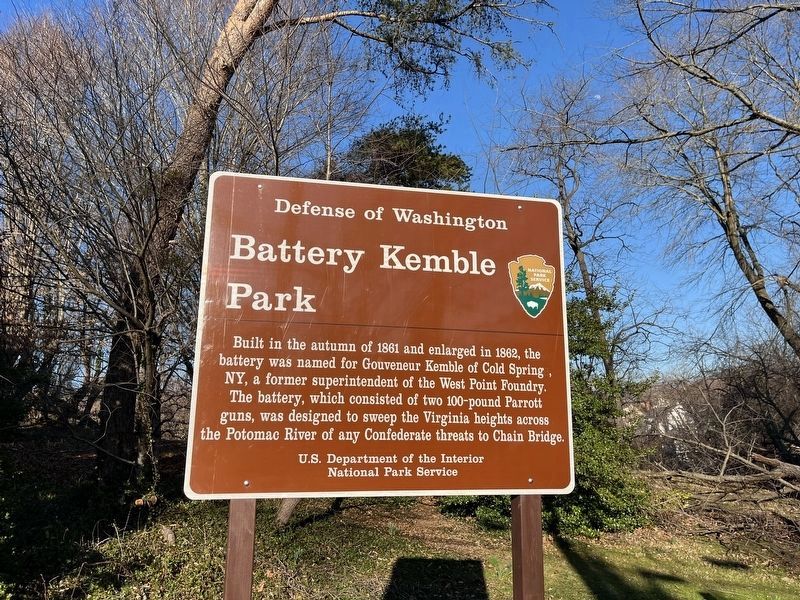
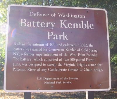
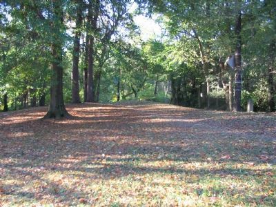
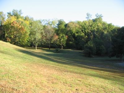
Battery Kemble Park
Defense of Washington
Erected by National Park Service, U.S. Department of the Interior.
Topics and series. This historical marker is listed in these topic lists: Forts and Castles • War, US Civil. In addition, it is included in the Defenses of Washington series list. A significant historical year for this entry is 1861.
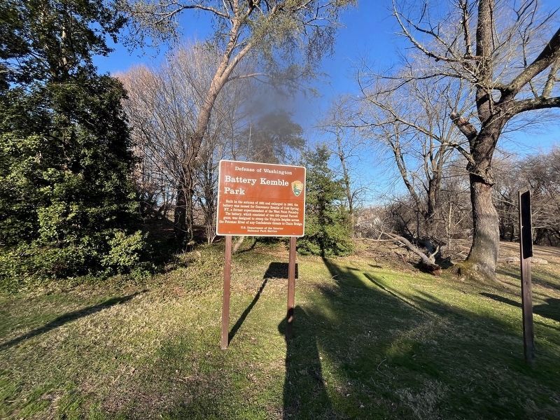
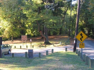
Location. 38° 55.702′ N, 77° 5.725′ W. Marker is in Northwest Washington in Washington, District of Columbia. It is in Kent. Marker is on Chain Bridge Road Northwest north of MacArthur Boulevard Northwest, on the right when traveling north. Located at the Battery Kemble Park entrance. Touch for map. Marker is at or near this postal address: 2832 Chain Bridge Road Northwest, Washington DC 20016, United States of America. Touch for directions.
Other nearby markers. At least 8 other markers are within walking distance of this marker. Battery Kemble (approx. 0.2 miles away); World War II (approx. 0.4 miles away); Palisades Recreation Center (approx. half a mile away); As you are on the old Glen Echo Trolley line… (approx. half a mile away); The General Lafayette sign on the side of the garden… (approx. half a mile away); Jeju Jeong-nang (approx. 0.6 miles away); Site of the American University Address (approx. 0.6 miles away); Birthplace of the Army Chemical Corps (approx. 0.6 miles away). Touch for a list and map of all markers in Northwest Washington.
Also see . . .
1. Battery Kemble. The park is a unit of the Rock Creek National Park. (Submitted on December 9, 2007, by Craig Swain of Leesburg, Virginia.)
2. Wikipedia entry for Gouverneur Kemble. (Submitted on April 10, 2011, by Richard E. Miller of Oxon Hill, Maryland.)
3. NPS update on Bettery Kemble Park. NPS CW Def. of Washington shared video today of restoration of a plaque on boulder found in in brush, with bolt holes but no plaque. (Formal (re)dedication in 2021 when safe to do so.) (Submitted on November 24, 2020, by William Ricker of Boston, Massachusetts.)
Additional commentary.
1. Battery Kemble and Associated Fortifications
From "Mr. Lincoln's Forts: A Guide to the Civil War Defenses of
Washington," by Benjamin Franklin Cooling III and Walton H. Owen II:
Wartime garrisons were made up of the 2nd U.S. Artillery, 9th New York Heavy Artillery, and Company A, 1st New Hampshire Heavy Artillery.
Battery Kemble was one in a chain of fortifications directly protecting the DC side of the Chain Bridge. These were Battery Cameron (two 100-pdr Parrott rifles), Battery Parrott (two 100-pdr Parrott rifles), Battery Kemble, Battery Martin Scott (one 8-inch Seacoast howitzer, two 32-pdr cannon, later changed to two 6-pdr cannon and two 12-pdr howitzers), and Battery Vermont (three 32-pdr seacoast cannon).
— Submitted December 9, 2007, by Craig Swain of Leesburg, Virginia.
Credits. This page was last revised on February 20, 2024. It was originally submitted on December 9, 2007, by Craig Swain of Leesburg, Virginia. This page has been viewed 4,573 times since then and 36 times this year. Last updated on November 4, 2019, by A. Taylor of Laurel, Maryland. Photos: 1. submitted on February 20, 2024, by Devry Becker Jones of Washington, District of Columbia. 2. submitted on December 9, 2007, by Craig Swain of Leesburg, Virginia. 3. submitted on February 20, 2024, by Devry Becker Jones of Washington, District of Columbia. 4, 5, 6. submitted on December 9, 2007, by Craig Swain of Leesburg, Virginia. • Devry Becker Jones was the editor who published this page.
