Tulsa in Tulsa County, Oklahoma — The American South (West South Central)
Cyrus Avery
— Tulsa's Historic Route 66 —
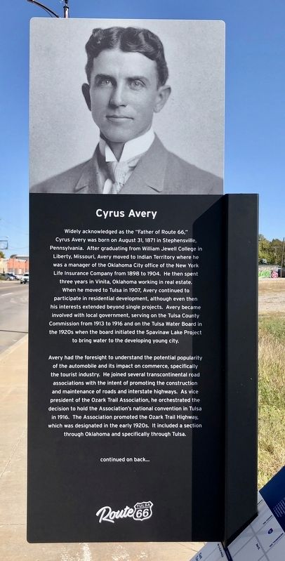
Widely acknowledged as the "Father of Route 66," Cyrus Avery was born on August 31, 1871 in Stephensville, Pennsylvania. After graduating from William Jewell College in Liberty, Missouri, Avery moved to Indian Territory where he was a manager of the Oklahoma City office of the New York Life Insurance Company from 1898 to 1904. He then spent three years in Vinita, Oklahoma working in real estate. When he moved to Tulsa in 1907, Avery continued to participate in residential development, although even then his interests extended beyond single projects. Avery became involved with local government, serving on the Tulsa County Commission from 1913 to 1916 and on the Tulsa Water Board in the 1920s when the board initiated the Spavinaw Lake Project to bring water to the developing young city.
Avery had the foresight to understand the potential popularity of the automobile and its impact on commerce, specifically the tourist industry. He joined several transcontinental road associations with the intent of promoting the construction and maintenance of roads and interstate highways. As vice president of the Ozark Trail Association, he orchestrated the decision to hold the Association's national convention in Tulsa in 1916. The Association promoted the Ozark Trail Highway, which was designated in the early 1920s. It included a section through Oklahoma and specifically through Tulsa.
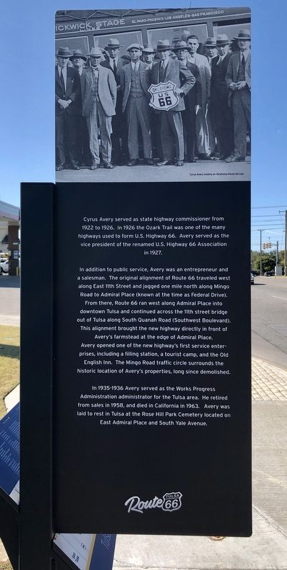
Cyrus Avery served as state highway commissioner from 1922 to 1926. In 1926 the Ozark Trail was one of the many highways used to form U.S. Highway 66. Avery served as the vice president of the renamed U.S. Highway 66 Association in 1927.
In addition to public service, Avery was an entrepreneur and a salesman. The original alignment of Route 66 traveled west along East 11th Street and jogged one mile north along Mingo Road to Admiral Place (known at the time as Federal Drive). From there, Route 66 ran west along Admiral Place into downtown Tulsa and continued across the 11th street bridge out of Tulsa along South Quanah Road (Southwest Boulevard). This alignment brought the new highway directly in front of Avery's farmstead at the edge of Admiral Place. Avery opened one of the new highway's first service enterprises, including a filling station, a tourist camp, and the Old English Inn. The Mingo Road traffic circle surrounds the historic location of Avery's properties, long since demolished.
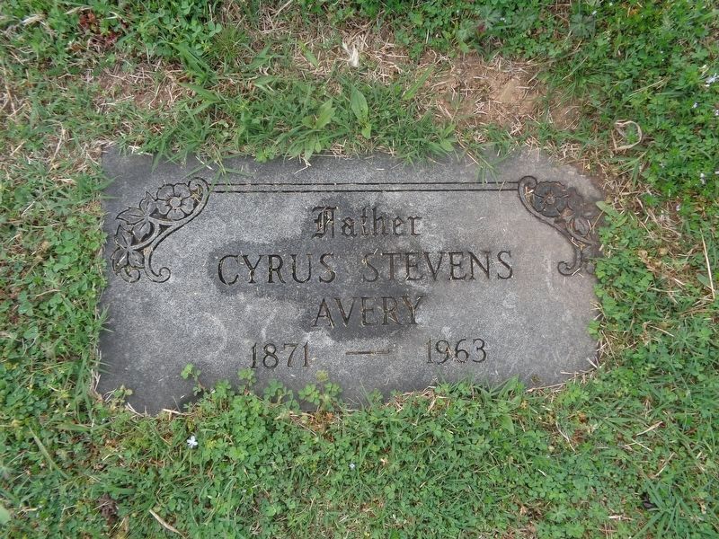
In 1935-1936 Avery served as the Works Progress Administration administrator for the Tulsa area. He retired from sales in 1958, and died in California in 1963. Avery was laid to rest in Tulsa at the Rose Hill Park Cemetery located on East Admiral Place and South Yale Avenue.
Erected 2019 by Tulsa Route 66 Commission. (Marker Number 19.)
Topics and series. This historical marker is listed in these topic lists: Industry & Commerce • Roads & Vehicles • Settlements & Settlers. In addition, it is included in the U.S. Route 66 series list. A significant historical date for this entry is August 31, 1871.
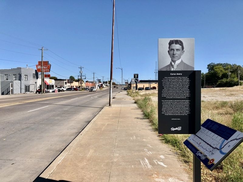
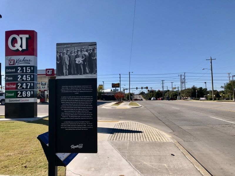
Location. 36° 9.639′ N, 95° 55.273′ W. Marker is in Tulsa, Oklahoma, in Tulsa County. Marker is on East Admiral Place east of North Yale Avenue, on the right when traveling east. Touch for map. Marker is at or near this postal address: 4904 East Admiral Place, Tulsa OK 74115, United States of America. Touch for directions.
Other nearby markers. At least 8 other markers are within walking distance of this marker. Confederate Memorial (approx. half a mile away); In Recognition of Elizabeth Russell Sullivan (approx. half a mile away); The Golden Drumstick Restaurant (approx. 0.9 miles away); The Fabric of a Community (approx. 0.9 miles away); White City Historic District Neighborhood (approx. 0.9 miles away); Pearls Along the Route 66 Highway (approx. 0.9 miles away); The American Milkman (approx. 0.9 miles away); The Era of World War II (approx. 0.9 miles away). Touch for a list and map of all markers in Tulsa.
Also see . . . Wikipedia article on Cyrus Avery. (Submitted on November 6, 2019, by Mark Hilton of Montgomery, Alabama.)
Credits. This page was last revised on August 31, 2021. It was originally submitted on November 6, 2019, by Mark Hilton of Montgomery, Alabama. This page has been viewed 415 times since then and 76 times this year. Photos: 1, 2, 3, 4. submitted on November 6, 2019, by Mark Hilton of Montgomery, Alabama. 5. submitted on April 25, 2021, by Jason Voigt of Glen Carbon, Illinois.
