Barrio Gótico in Barcelona, Catalonia, Spain — Southwestern Europe (Iberian Peninsula)
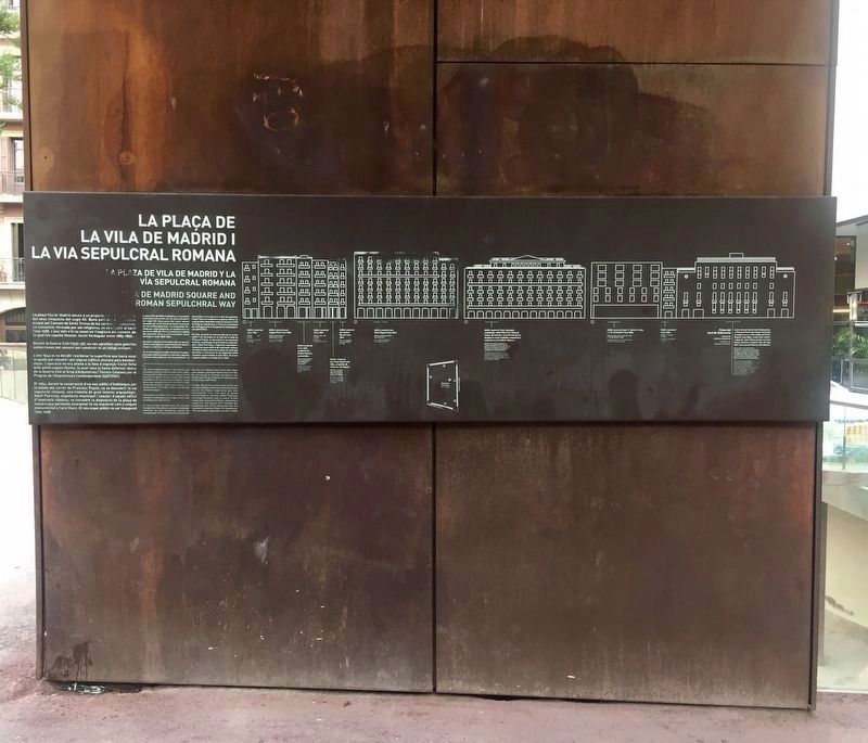
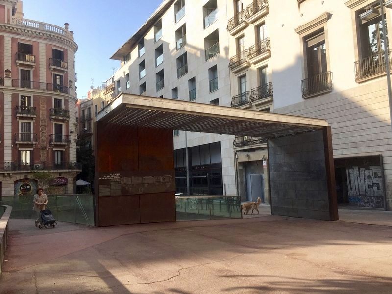
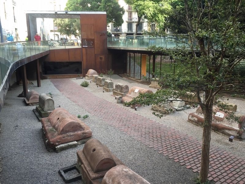
Roman Sepulchral Way and Vila de Madrid Square
Inscription.
(Catalan:)
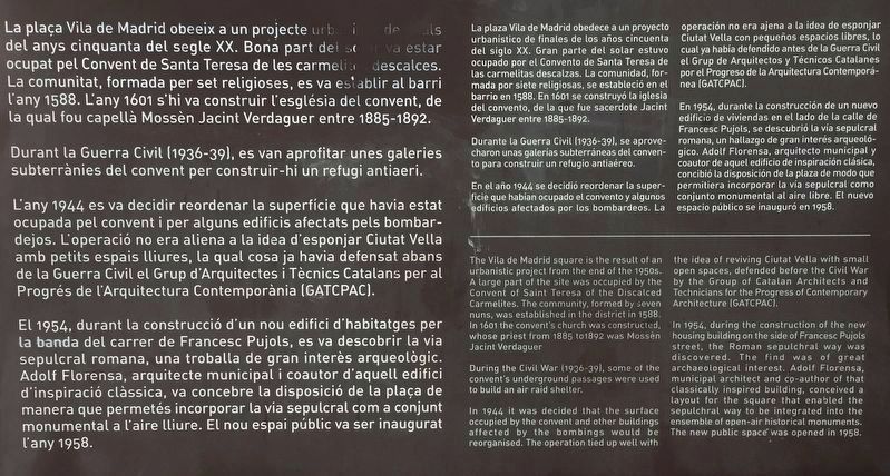
Durant la Guerra Civil (1936-39), es van aprofitar unes galeries subterrànies del convent per construir-hi un refugi antiaeri.
L'any 1944 es va decidir reordenar la superfície que havia estat ocupada pel convent i per alguns edificis afectats pels bombar- dejos. L'operació no era aliena a la idea d'esponjar Ciutat Vella amb petits espais lliures, la qual cosa ja havia defensat abans de la Guerra Civil el Grup d'Arquitectes i Tècnics Catalans per al Progrés de l'Arquitectura Contemporània (GATCPAC).
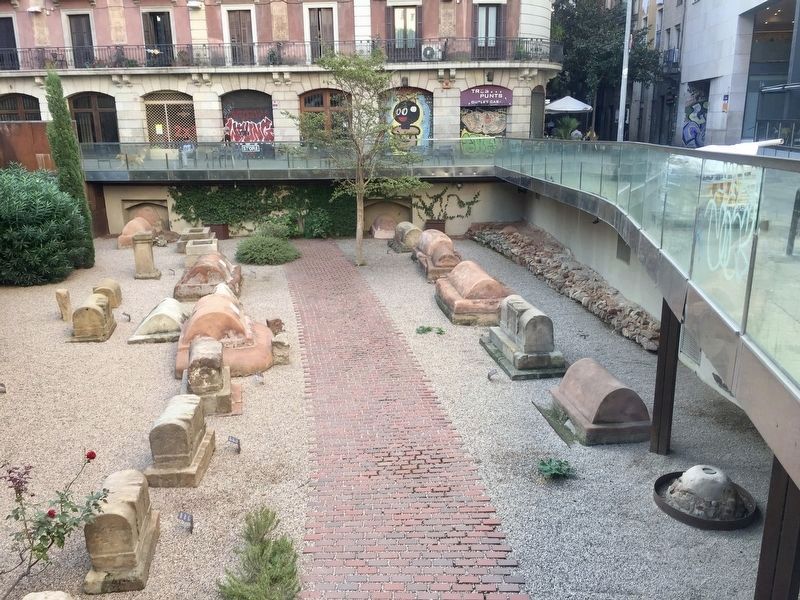
El 1954, durant la construcció d'un nou edifici d'habitatges per la banda del carrer de Francesc Pujols, es va descobrir la via sepulcral romana, una troballa de gran interès arqueològic. Adolf Florensa, arquitecte municipal i coautor d'aquell edifici d'inspiració clàssica, va concebre la disposició de la plaça de manera que permetés incorporar la via sepulcral com a conjunt monumentala l'aire lliure. El nou espai públic va ser inaugurat l'any 1958.
(Spanish:)
Durante la Guerra Civil (1936-39), se aprovecharon unas galerías subterráneas del convento para construir un refugio antiaéreo.
En el año 1944 se decidió reordenar la superficie que habian ocupado el convento y algunos edificios afectados por los bombardeos. La operación no era ajena a la idea de esponjar Ciutat Vella con pequeños espacios libres, lo cual ya había defendido antes de la Guerra Civil el Grup de Arquitectos y Técnicos Catalanes por el Progreso de la Arquitectura Contemporánea (GATCPAC).
En 1954, durante la construcción de un nuevo edificio de viviendas en el lado de la calle de Francesc Pujols, se descubrió la vía sepulcral romana, un hallazgo
de gran interés arqueológico. Adolf Florensa, arquitecto municipal y coautor de aquel edificio de inspiración clásica, concibió la disposición de la plaza de modo que permitiera incorporar la vía sepulcral como conjunto monumental al aire libre. El nuevo espacio público se inauguró en 1958.
(English:)
During the Civil War (1936-39), some of the convent's underground passages were used to build an air raid shelter.
In 1944 it was decided that the surface occupied by the convent and other buitdings affected by the bombings would be reorganised. The operation tied up well with the idea of reviving Ciutat Vella with small open spaces, defended before the Civil War by the Group of Catalan Architects and Technicians for the Progress of Contemporary Architecture (GATCPAC).
In 1954, during the construction of the new housing building on the side of Francesc Pujols street, the Roman sepulchral way was discovered. The find was of great
archaeological interest. Adolf Florensa, municipal architect and co-author of that classically inspired building, conceived a layout for the square that enabled the sepulchral way to be integrated into the ensemble of open-air historical monuments. The new public space was opened in 1958.
Topics. This historical marker is listed in these topic lists: Cemeteries & Burial Sites • Roads & Vehicles. A significant historical year for this entry is 1588.
Location. 41° 23.064′ N, 2° 10.323′ E. Marker is in Barcelona, Cataluña (Catalonia). It is in Barrio Gótico. Marker is on Plaça de la Vila de Madrid. Touch for map. Marker is in this post office area: Barcelona, Cataluña 08002, Spain. Touch for directions.
Other nearby markers. At least 8 other markers are within walking distance of this marker. Andreu Nin (within shouting distance of this marker); Antoni Tàpies i Puig (about 90 meters away, measured in a direct line); Scala Dei (about 120 meters away); Lluís Millà i Reig (1921-2005) (about 120 meters away); Rómulo Gallegos (about 150 meters away); Antoni Campillo i Matheu (about 150 meters away); Portaferrissa - La "Porta Ferriça" / Portaferrissa - The Iron Gate (about 150 meters away); Francesc Salva i Campillo (1751-1828) (about 180 meters away). Touch for a list and map of all markers in Barcelona.
Also see . . .
1. MUHBA Roman funeral Way (Museu D'Historia de Barcelona). "The Roman funeral
Way that is located in what is now Plaça de la Vila de Madrid was initially a minor road which connected the colony of Barcinom now the district of Sarrià. The road reached the southern gate of Cardo maximus, and was lined on either side with many different funeral monuments: altars, steles and especially cupae – semicircular grave markers that resemble wooden barrels. The burial area was in use from the 1st to the 3rd centuries A.D., though with the passing of time it was completely covered over by river sediments that helped in its preservation...." (Submitted on November 9, 2019.)
2. Sepulchral path of the Plaza de la Villa de Madrid (Wikipedia, in Catalan). "...Shortly after the necropolis ceased to be used, it was covered by alluvial deposits from the torrents that descend from Collserola. This kept the stones hidden and prevented them from being reused as a construction material. In 1956, the necropolis was discovered when moving earth for the construction of the building that currently occupies the south-east side of the square, and there was a first excavation campaign, followed by a another in 1959. Between 2000 and 2003 it was excavated again, coinciding with the last renewal of the square, and in 2008 the current museum was opened." (Submitted on November 9, 2019.)
Credits. This page was last revised on February 3, 2023. It was originally submitted on November 9, 2019, by Andrew Ruppenstein of Lamorinda, California. This page has been viewed 133 times since then and 18 times this year. Photos: 1, 2, 3, 4, 5. submitted on November 9, 2019, by Andrew Ruppenstein of Lamorinda, California.
