Miscouche in Prince County, Prince Edward Island — The Atlantic Provinces (North America)
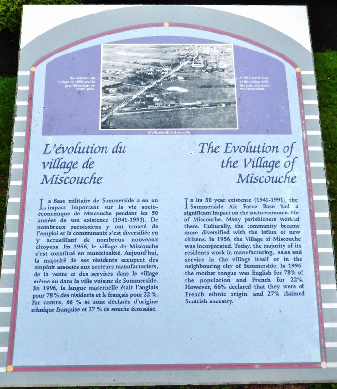
L'évolution du village de Miscouche
The Evolution of the Village of Miscouche
Inscription.
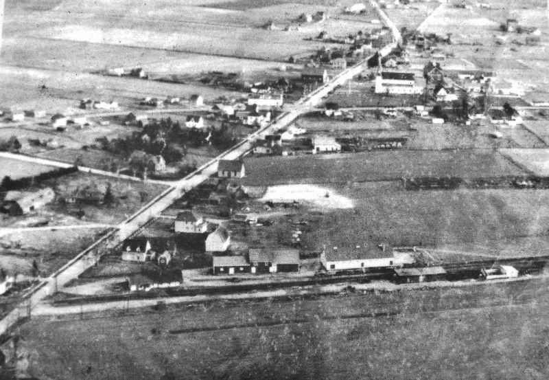
La Base militaire de Summerside a eu un impact important sur la vie socio-économique de Miscouche pendant les 50 années de son existence (1941-1991). De nombreux paroissiens y ont trouvé de l'emploi et la communauté s'est diversifiée en y accueillant de nombreux nouveaux citoyens. En 1956, le village de Miscouche s'est constitué en municipalité. Aujourd'hui, la majorité de ses résidents occupent des emplois associés aux secteurs manufacturiers, de la vente et des services dans le village même ou dans la ville voisine de Summerside. En 1996, la langue maternelle était l'anglais pour 78 % des résidents et le français pour 22 %. Par contre, 66 % se sont déclarés d'origine ethnique française et 27 % de souche écossaise.
In its 50 year existence (1941-1991), the Summerside Air Force Base had a significant impact on the socio-economic life of Miscouche. Many parishioners worked there. Culturally, the community became more diversified with the influx of new citizens. In 1956, the Village of Miscouche was incorporated. Today, the majority of its residents work in manufacturing, sales and service in the village itself or in the neighbouring city of Summerside. In 1996, the mother tongue was English for 78% of the population and French for 22%. However, 66% declared that they were of French ethnic origin, and 27% claimed Scottish ancestry.
Topics. This historical marker is listed in these topic lists: Industry & Commerce • Settlements & Settlers. A significant historical year for this entry is 1941.
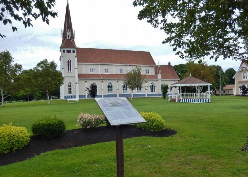
Location. 46° 25.958′ N, 63° 52.049′ W. Marker is in Miscouche, Prince Edward Island, in Prince County. Marker is on Main Drive East (Veteran's Memorial Highway) (Prince Edward Island Route 2) just east of Lady Slipper Drive North (Prince Edward Island Route 12), on the left when traveling east. Marker is located near the sidewalk, overlooking Saint John the Baptist Catholic Parish Church to the north. Touch for map. Marker is at or near this postal address: 4 Lady Slipper Drive North, Miscouche PE C0B 1T0, Canada. Touch for directions.
Other nearby markers. At least 8 other markers are within walking distance of this marker. La Fanfare de Miscouche (a few steps from this marker); L'économie (within shouting distance of this marker); L'Église Saint-Jean-Baptiste (within shouting distance of this marker); La Convention nationale des Acadiens de 1884 (about 90 meters away, measured in a direct line); Le Couvent Saint-Joseph et les religieuses de la Congrégation de Notre-Dame
(about 90 meters away); Les Acadiens de la baie de Malpèque (about 90 meters away); Les Dix Conventions Nationales Acadiennes (about 150 meters away); La fondation de Miscouche (about 150 meters away). Touch for a list and map of all markers in Miscouche.
Related markers. Click here for a list of markers that are related to this marker. The Village of Miscouche
Also see . . . Canadian Forces Base Summerside (Wikipedia). The airfield was constructed by the Royal Canadian Air Force (RCAF) between 1940–1941 and was named RCAF Station Summerside. In 1991 the base was closed and the majority of military units were transferred to CFB Greenwood in Nova Scotia. The entire property including airfield, housing units, hangars and support structures was renamed Slemon Park and was transferred to a local development authority. Today the site is host to a mix of public and private sector operations, including Vector Aerospace and several other aerospace companies. (Submitted on November 10, 2019, by Cosmos Mariner of Cape Canaveral, Florida.)
Credits. This page was last revised on November 12, 2019. It was originally submitted on November 9, 2019, by Cosmos Mariner of Cape Canaveral, Florida. This page has been viewed 108 times since then and 14 times this year. Photos: 1, 2, 3. submitted on November 10, 2019, by Cosmos Mariner of Cape Canaveral, Florida.


