Aalen in Ostalbkreis, Baden-Württemberg, Germany — Central Europe
Roman Cavalry Fort - North-west Corner
Römisches Reiterkastell Aalen - Nordwestecke
Inscription.
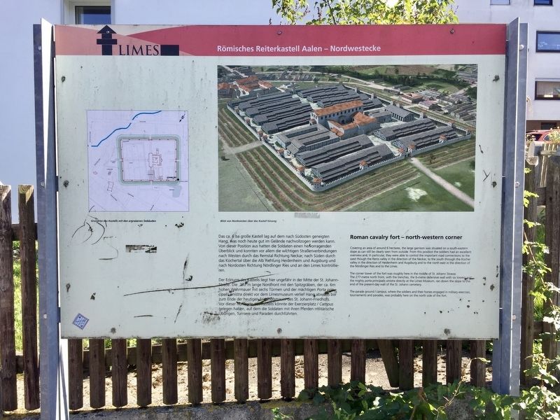
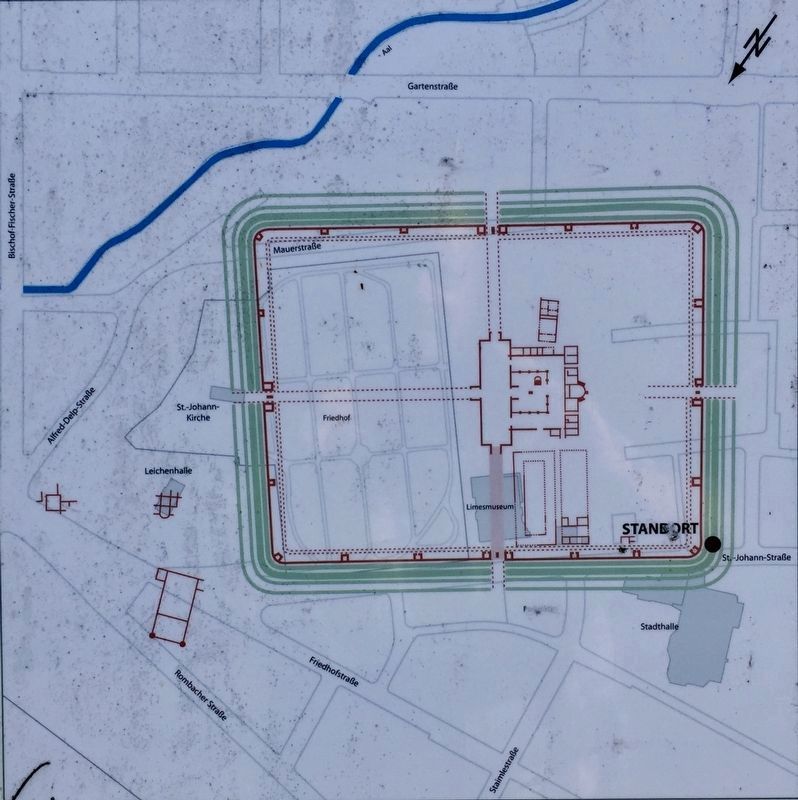
Der Eckturm des Kastells liegt hier ungefähr in der Mitte der St. Johann- Straße. Die 277 m lange Nordfront mit den Spitzgräben, der ca. 6m hohen Wehrmauer mit sechs Türmen und der mächtigen Porta principalis sinistra direkt vor dem Limesmuseum verlief Hang abwärts bis zum Ende der heutigen Friedhofsmauer des St. Johann-Friedhofs. Vor dieser Nordseite des kastells könnte der Exerzierplatz/ Campus gelegen haben, auf dem die Soldaten mit ihren Pferden militärische Übungen, Turniere und Paraden durchführten.
-
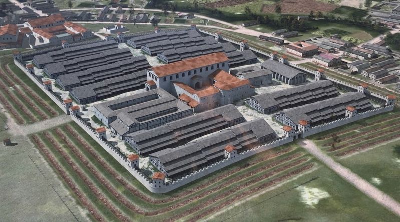
Covering an area of around 6 hectares, the large garrison was situated on a south-eastern slope as can still be clearly seen from outside. From this position the soldiers had an excellent overview and, in particular, they were able to control the important road connections to the west though the Rems valley in the direction of the Neckar, to the south through the Kocher valley in the direction of Heidenheim and Augsburg and to the north east in the direction of the Nördlinger Ries and to the Limes.
The corner tower of the fort was roughly here in the middle of St. Johann Strasse. The 277-metre north front, with the trenches, the 6-metre defensive wall with six towers and the mighty porta principalis sinistra directly at the Limes Museum, ran down the slope to the end of the present-day wall of the St. Johann cemetery.
The parade ground / campus, where the soldiers and their horses engaged in military exercises, tournaments and parades, was probably here on the north side of the fort.
Topics. This historical marker is listed in this topic list: Forts and Castles.
Location. 48° 50.152′ N, 10° 4.976′ E. Marker is in Aalen, Baden-Württemberg, in Ostalbkreis. Marker is at the intersection of Sankt-Johann-Straße and Kastellstraße, on the left when traveling south on Sankt-Johann-Straße. Touch for map. Marker is at or near this postal address: Sankt-Johann-Straße 7, Aalen BW 73430, Germany. Touch for directions.
Other nearby markers. At least 1 other marker is within walking distance of this marker. Römisches Reiterkastell Aalen - Nordostecke / Roman Cavalry Fort Aalen - Northeastern Corner (about 240 meters away, measured in a direct line).
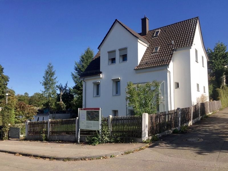
Regarding Roman Cavalry Fort - North-west Corner. ("Limes" is latin for limit or border.) The marker is located across the street from the Limes information center, and perhaps 100 meters uphill of the entrance to the Limes fort museum.
Also see . . . Limes Germanicus (Wikipedia).
"The Limes Germanicus (Latin for Germanic frontier) is the name given in modern times to a line of frontier (limes) fortifications that bounded the ancient Roman provinces of Germania Inferior, Germania Superior and Raetia, dividing the Roman Empire and the unsubdued Germanic tribes from the years 83 to about 260 AD. The Limes used either a natural boundary such as a river or typically an earth bank and ditch with a wooden palisade and watchtowers at intervals. A system of linked forts was built behind the Limes." (Submitted on November 10, 2019.)
Credits. This page was last revised on January 28, 2022. It was originally submitted on November 10, 2019, by Andrew Ruppenstein of Lamorinda, California. This page has been viewed 126 times since then and 12 times this year. Photos: 1, 2, 3, 4. submitted on November 10, 2019, by Andrew Ruppenstein of Lamorinda, California.


