Loma in Chouteau County, Montana — The American West (Mountains)
Marias River
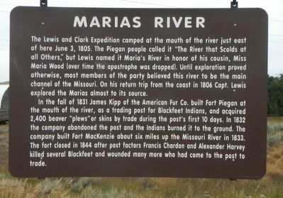
In the fall of 1831 James Kipp, of the American Fur Co. built Fort Piegan at the mouth of the river, as a trading post for the Blackfeet Indians, and acquired 2,400 beaver "plews" or skins by trade during the post's first 10 days. In 1832 the company abandoned the post and the Indians burned it to the ground. The company built Fort MacKenzie about six miles up the Missouri River in 1833. The fort closed in 1844 after post factors Francis Chardon and Alexander Harvey killed several Blackfeet and wounded many more who had come to the post to trade.
Erected by Montana Department of Transportation.
Topics and series. This historical marker is listed in these topic lists: Exploration • Forts and Castles • Industry & Commerce. In addition, it is included in the Lewis & Clark Expedition series list. A significant historical date for this entry is June 3, 1805.
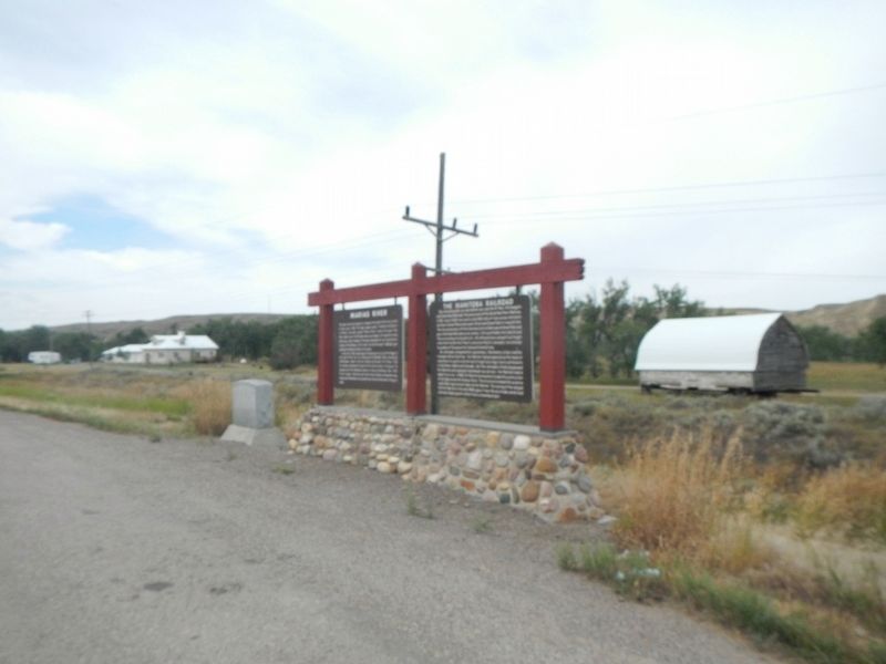
Location. 47° 55.734′ N, 110° 30.829′ W. Marker is in Loma, Montana, in Chouteau County. Marker is on U.S. 87 near Lower Marias/Loma Ferry Roads, on the left when traveling north. Touch for map. Marker is in this post office area: Loma MT 59460, United States of America. Touch for directions.
Other nearby markers. At least 8 other markers are within 3 miles of this marker, measured as the crow flies. The Manitoba Railroad (here, next to this marker); Victims of Blood Indian Massacre (here, next to this marker); Lewis and Clark National Historic Trail (approx. ¾ mile away); Decision Point (approx. ¾ mile away); Ophir (approx. 0.8 miles away); Fort Piegan (approx. 0.9 miles away); a different marker also named Decision Point (approx. 0.9 miles away); A Montana Crossroads (approx. 3.1 miles away). Touch for a list and map of all markers in Loma.
Also see . . . Marias River Camp - Fort Wiki. The exact location of the camp and the cache site is not known (or disclosed). There is an interpretive area at the distinctive Decision Point hill. Interpretive panels are located at the base of the hill and at the top of the hill. The panels cover both the Lewis & Clark period and the later Fort Piegan period. (Submitted on November 11, 2019, by Barry Swackhamer of Brentwood, California.)
Credits. This page was last revised on November 11, 2019. It was originally submitted on November 11, 2019, by Barry Swackhamer of Brentwood, California. This page has been viewed 302 times since then and 33 times this year. Photos: 1, 2. submitted on November 11, 2019, by Barry Swackhamer of Brentwood, California.
Editor’s want-list for this marker. Someone to go to Decision Point/Hill and record the markers there. • Can you help?

