Poughkeepsie in Dutchess County, New York — The American Northeast (Mid-Atlantic)
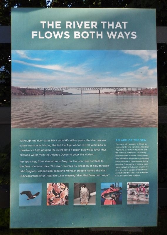
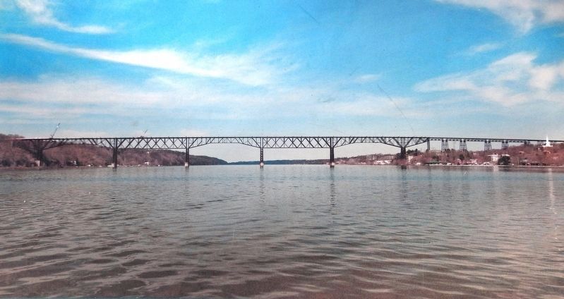
The River that Flows Both Ways
For 150 miles, from Manhattan to Troy, the Hudson rises and falls to the flow of ocean tides. The river reverses its direction of flow through tidal changes. Algonquian-speaking Mohican people named the river Muhheakantuck (Muh-HEE-kan-tuck), meaning "river that flows both ways."
An Arm of the Sea
The river's salty seawater is diluted by fresh water flowing from the Adirondack Mountains, the Catskill Mountains, and the rest of its watershed. The leading edge of diluted seawater, called the salt front, frequently pushes north to Newburgh and sometimes to Poughkeepsie during droughts. The meeting of salt and fresh water makes the Hudson an estuary. The river is home to a great variety of fresh and saltwater creatures, such as striped bass, blue crabs and sturgeon.
(photo captions:)
• Bald Eagle • Blue Crabs • Peregrine Falcon • Striped Bass • Atlantic Sturgeon
Erected by New York State Office of Parks, Recreation and Historic Preservation.
Topics. This historical marker is listed in these topic lists: Native Americans • Natural Features • Waterways & Vessels.
Location. 41° 42.689′ N, 73° 55.629′ W. Marker is in Poughkeepsie, New York, in Dutchess County. Marker can be reached from Parker Avenue (New York State Route 9G) 0.2 miles east of Washington Street (New York State Route 9G), on the left when traveling east. Marker is located near the east end of the bridge trail in Walkway Over the Hudson State Historic Park. Touch for map. Marker is at or near this postal address: 61 Parker Avenue, Poughkeepsie NY 12601, United States of America. Touch for directions.
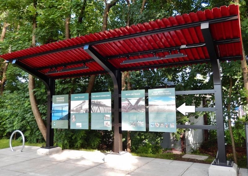
Other nearby markers. At least 8 other markers are within walking distance of this marker. Back on Track (here, next to this marker); The Great Connector (here, next to this marker); Built to Last (here, next to this marker); Walkway Over the Hudson State Historic Park (here, next to this marker); Signal Towers (about 800 feet away, measured in a direct line); Nearly 3000 Men (approx. 0.2 miles away); General Casimir Pulaski (approx. 0.2 miles away); May 8th, 1974 (approx. 0.2 miles away). Touch for a list and map of all markers in Poughkeepsie.
More about this marker. There is an identical marker located 1.5 miles west, at the
west end of the bridge trail, in Highland, Ulster County, New York.
Related markers. Click here for a list of markers that are related to this marker. Poughkeepsie-Highland Railroad Bridge
Also see . . . Hudson River (Wikipedia). The Hudson River is a 315-mile river that flows from north to south primarily through eastern New York in the United States. The river originates in the Adirondack Mountains of Upstate New York, flows southward through the Hudson Valley to the Upper New York Bay between New York City and Jersey City. It eventually drains into the Atlantic Ocean at New York Harbor. (Submitted on November 19, 2019, by Cosmos Mariner of Cape Canaveral, Florida.)
Credits. This page was last revised on November 19, 2019. It was originally submitted on November 19, 2019, by Cosmos Mariner of Cape Canaveral, Florida. This page has been viewed 883 times since then and 102 times this year. Photos: 1, 2, 3. submitted on November 19, 2019, by Cosmos Mariner of Cape Canaveral, Florida.


