Springfield in Effingham County, Georgia — The American South (South Atlantic)
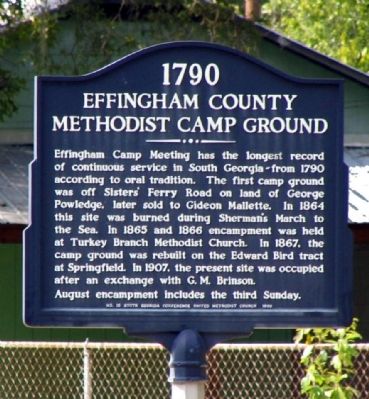
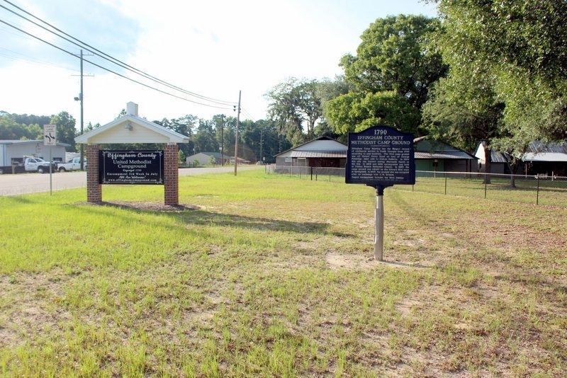
Effingham County Methodist Camp Ground
1790
— United Methodist Church Registered Historic Site No. 230 —
Effingham Camp Meeting has the longest record of continuous service in South Georgia - from 1790 according to oral tradition. The first camp ground was off Sister’s Ferry Road on land of George Powledge, later sold to Gideon Mallette. In 1864 this site was burned during Sherman’s March to the Sea. In 1865 and 1866 encampment was held at Turkey Branch Methodist Church. In 1867, the camp ground was rebuilt on the Edward Bird tract at Springfield. In 1907, the present site was occupied after an exchange with G.M. Brinson.
August encampment includes the third Sunday.
Erected 1990 by South Georgia Conference, United Methodist Church.
Topics and series. This historical marker is listed in these topic lists: Churches & Religion • Parks & Recreational Areas • War, US Civil. In addition, it is included in the United Methodist Church Historic Sites series list. A significant historical year for this entry is 1790.
Location. 32° 21.303′ N, 81° 18.135′ W. Marker is in Springfield, Georgia, in Effingham County. Marker is on South Laurel Street (Old Georgia Route 21) 0 miles north of Ash Street Extension, on the right when traveling north. Touch for map. Marker is in this post office area: Springfield GA 31329, United States of America. Touch for directions.
Other nearby markers. At least 8 other markers are within 6 miles of this marker, measured as the crow flies. Sherman's Left Wing (approx. 0.9 miles away); Effingham County Veterans Memorial (approx. 1.4 miles away); Confederate Memorial (approx. 1.4 miles away); Effingham County (approx. 1˝ miles away); Springfield Central High School (approx. 2 miles away); Old Ebenezer (approx. 2.1 miles away); Bethany (approx. 5.1 miles away); Guyton Confederate General Hospital (approx. 5.6 miles away). Touch for a list and map of all markers in Springfield.
Credits. This page was last revised on August 19, 2023. It was originally submitted on December 21, 2008, by David Seibert of Sandy Springs, Georgia. This page has been viewed 2,076 times since then and 27 times this year. Photos: 1. submitted on December 21, 2008, by David Seibert of Sandy Springs, Georgia. 2. submitted on July 28, 2020, by Tim Fillmon of Webster, Florida. • Craig Swain was the editor who published this page.

