Pickadat Corner in Chesterfield County, Virginia — The American South (Mid-Atlantic)
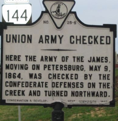
Union Army Checked
Erected 1927 by Conservation & Development Commission. (Marker Number S-25.)
Topics and series. This historical marker is listed in this topic list: War, US Civil. In addition, it is included in the Virginia Department of Historic Resources (DHR) series list. A significant historical date for this entry is May 9, 1800.
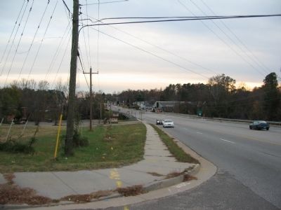
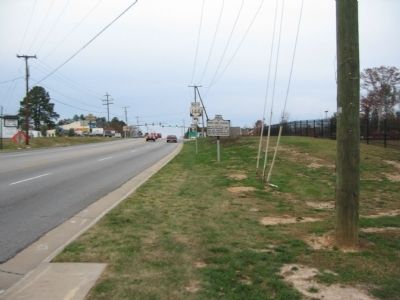
Location. 37° 17.171′ N, 77° 24.692′ W. Marker is in Pickadat Corner, Virginia, in Chesterfield County. Marker is at the intersection of Jefferson Davis Highway (U.S. 1 / 301) and Harrowgate Road (State Highway 144), on the right when traveling north on Jefferson Davis Highway. Touch for map. Marker is in this post office area: Colonial Heights VA 23834, United States of America. Touch for directions.
Other nearby markers. At least 8 other markers are within 2 miles of this marker, measured as the crow flies. Swift Creek Battlefield: A Landscape of Change (within shouting distance of this marker); Battle of Swift Creek (approx. 0.2 miles away); "Brave to Madness" (approx. ¼ mile away); Electric Railway (approx. half a mile away); Redwater Creek Engagement (approx. 0.7 miles away); Union Army Railroad Raids (approx. ¾ mile away); Advance on Petersburg (approx. 0.8 miles away); Ellerslie (approx. 1.2 miles away). Touch for a list and map of all markers in Pickadat Corner.

Photographed By Craig Swain, November 22, 2008
3. Swift Creek Battlefield
Looking from the marker location to the south at the Swift Creek bridge. The Federals occupied positions roughly were the marker is located today, across the ridge line overlooking the creek. The Confederates blocked the advance further south with defensive works on the south side of the creek.
Credits. This page was last revised on May 12, 2021. It was originally submitted on December 23, 2008, by Craig Swain of Leesburg, Virginia. This page has been viewed 1,123 times since then and 25 times this year. Last updated on May 11, 2021, by Bradley Owen of Morgantown, West Virginia. Photos: 1, 2, 3. submitted on December 23, 2008, by Craig Swain of Leesburg, Virginia. • J. Makali Bruton was the editor who published this page.

