Colonial Heights, Virginia — The American South (Mid-Atlantic)
Dunlop Station
"…burning cartridges like shooting stars"
Dunlop Station on the Richmond and Petersburg Railroad was located here on the southern boundary of David Dunlop's Ellerslie estate. During the siege of Petersburg, June 1864-April 1865, a military rail spur was completed in March 1865 that extended southwest from here to a Confederate quartermaster depot at Ettrick, making this an important railroad junction. It enabled trains to avoid Federal shelling of the main rail line from Dunlop Station to Petersburg, two miles south. Passenger trains stopped here so the occupants could walk to Petersburg on the safer Richmond Turnpike, located several hundred yards west, but some travelers walked along the tracks regardless. On June 30, 1864, Confederate President Jefferson Davis disembarked here and then proceeded to Gen. Robert E. Lee's headquarters at Violet Bank, two miles south.
On April 2, 1865, after the Battle of Five Forks, the Confederates moved ammunition here as they prepared to evacuate Petersburg, then destroyed the stockpile as well as surplus food and clothing. A Confederate soldier wrote that "the great sheds and long trains of cars" burned in the dark night, eerily illuminated by the distant glow of fires in Richmond. Despite warnings from Confederate officers, civilian refugees from Petersburg climbed into the burning cars to scavenge for food and clothing. "As we left," on soldier wrote, "the cars of ammunition began to explode, and we could see women and children blow about in every direction. ... The air was filled with burning cartridges like shooting stars."
Life went on even as the Confederacy expired. Despite the evacuation crisis, Lee permitted his adjutant, Col. Walter Taylor, to board the last ambulance train to Richmond here so that Taylor could marry his long-time sweetheart, Bettie Saunders. Taylor rejoined Lee before the surrender at Appomattox Court House.
Erected by Virginia Civil War Trails.
Topics and series. This historical marker is listed in these topic lists: Railroads & Streetcars • War, US Civil. In addition, it is included in the Virginia Civil War Trails series list. A significant historical month for this entry is March 1865.
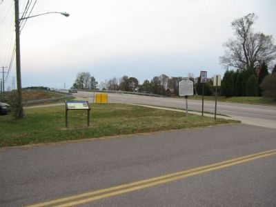
Location. 37° 16.096′ N, 77° 24.314′ W. Marker has been reported unreadable. Marker is in Colonial Heights, Virginia. Marker is at the intersection of Old Town Drive and East Ellerslie Drive, on the right when traveling south on Old Town Drive. Located at St. Michael’s Church. Touch for map. Marker is at or near this postal address: 501 Old Town Drive, Colonial Heights VA 23834, United States of America. Touch for directions.
Other nearby markers. At least 8 other markers are within 2 miles of this location, measured as the crow flies. Dunlop's Station (a few steps from this marker); Ellerslie (approx. 0.2 miles away); a

Photographed By Devry Becker Jones (CC0), June 19, 2021
2. Dunlop Station Marker
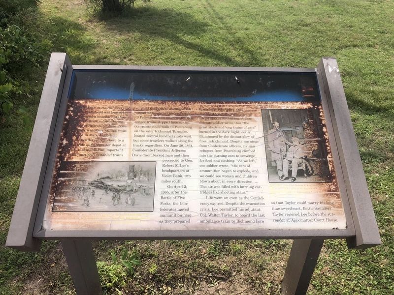
Unfortunately the marker has significantly weathered and is partially unreadable.
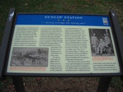
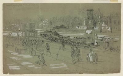
More about this marker. In the lower left is a drawing of a destroyed railroad station. Combat artist Alfred R. Waud drew this picture of the burned workshop of the Southside Railroad on the Appomattox River in April 1865. The destruction at Dunlop Station would have been similar in scope.
On the right is a wartime photo captioned, Gen. G.W.C. Lee, Gen. Robert E. Lee, and Col. Walter Taylor pose in Richmond in April 1865, after the surrender at Appomattox Court House.
Also see . . . Brief History of Ellerslie. The area around the station saw much activity during the later phases of the Civil War. (Submitted on December 24, 2008, by Craig Swain of Leesburg, Virginia.)
Credits. This page was last revised on June 23, 2021. It was originally submitted on December 24, 2008, by Craig Swain of Leesburg, Virginia. This page has been viewed 2,311 times since then and 28 times this year. Photos: 1. submitted on December 24, 2008, by Craig Swain of Leesburg, Virginia. 2. submitted on June 23, 2021, by Devry Becker Jones of Washington, District of Columbia. 3. submitted on December 24, 2008, by Craig Swain of Leesburg, Virginia. 4. submitted on April 29, 2011, by Bernard Fisher of Richmond, Virginia.


