Petersburg, Virginia — The American South (Mid-Atlantic)
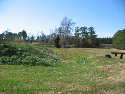
Fort Wadsworth
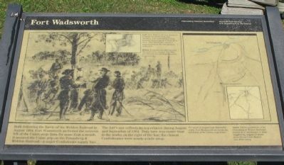
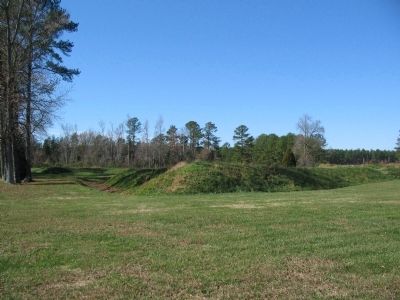
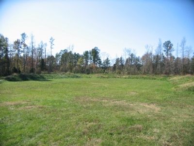
The fort's size reflects its importance during August and September of 1864. Duty here was easier than in the works on the right of the line; the closest Confederates were nearly a mile away.
Erected by Petersburg National Battlefield - National Park Service - U.S. Department of the Interior.
Topics. This historical marker is listed in these topic lists: Forts and Castles • War, US Civil. A significant historical month for this entry is September 1864.
Location. 37° 10.033′ N, 77° 24.98′ W. Marker is in Petersburg, Virginia. Marker is at the intersection of Halifax Road (County Route 604) and Flank Road (County Route 676), on the right when traveling south on Halifax Road. Located in the Fort Wadsworth unit of the Petersburg National Battlefield. Touch for map. Marker is in this post office area: Petersburg VA 23805, United States of America. Touch for directions.
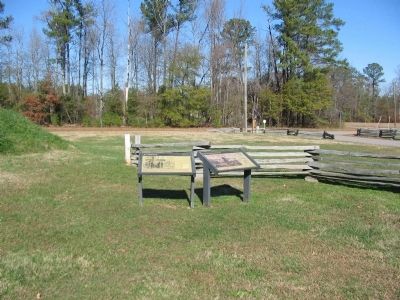
Other nearby markers. At least 8 other markers are within 2 miles of this marker, measured as the crow flies. Siege of Petersburg—Grant's Fourth Offensive (here, next to this marker); Fight for the Weldon Railroad (here, next to this marker); Hagood’s Brigade (about 300 feet away, measured in a direct line); The Petersburg Railroad (approx. 1.2 miles away); The Battle of Jerusalem Plank Road (approx. 1.4 miles away); a different marker also named The Battle of Jerusalem Plank Road (approx. 1.4 miles away); Fort Conahey (approx. 1.7 miles away); Fort Hays (approx. 2.1 miles away). Touch for a list and map of all markers in Petersburg.
More about this marker. In the main section of the marker, the background is a sketch captioned, Immediately after securing the railroad on August 18, 1864, the Federals started digging works to protect it. In the upper portion of the sketch is an inset showing a plan of the fort. Fort Wadsworth was designed to resist an attack from any direction and included four large bastions mounting up to three guns each. This sketch, also shows a grave located on the east parapet of the fort.
On the right is a map of the siege lines. For most of August and September 1864, Fort Wadsworth anchored the left flank of the Union siege lines. An inset is captioned, Union possession of the Petersburg & Weldon Railroad forced the Confederates to haul supplies by wagon 17 miles from Stony Creek Station into Petersburg.
Also see . . . Battle and Siege of Petersburg. National Park Service site. (Submitted on December 24, 2008, by Craig Swain of Leesburg, Virginia.)
Credits. This page was last revised on February 2, 2023. It was originally submitted on December 24, 2008, by Craig Swain of Leesburg, Virginia. This page has been viewed 2,455 times since then and 40 times this year. Photos: 1, 2, 3, 4, 5. submitted on December 24, 2008, by Craig Swain of Leesburg, Virginia.
