Near Middleburg in Loudoun County, Virginia — The American South (Mid-Atlantic)
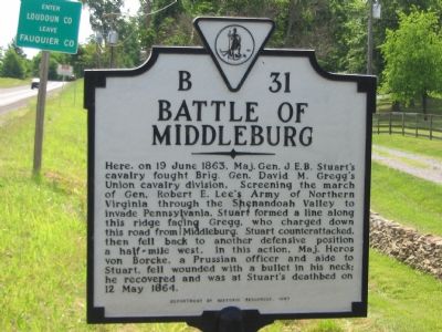
Battle of Middleburg
Erected 1997 by Department of Historic Resources. (Marker Number B-31.)
Topics and series. This historical marker is listed in this topic list: War, US Civil. In addition, it is included in the Virginia Department of Historic Resources (DHR) series list. A significant historical date for this entry is May 12, 1864.
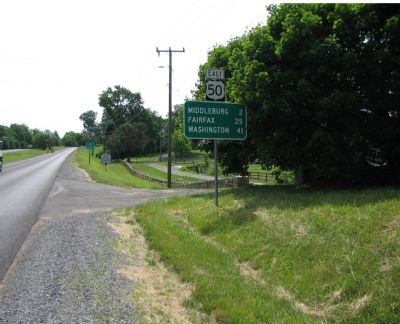
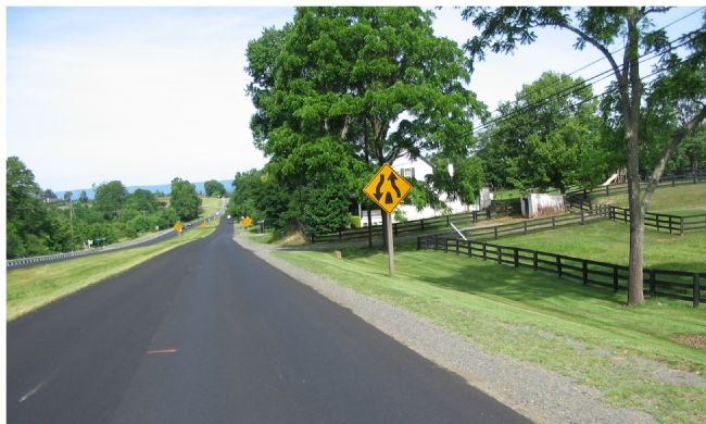
Location. 38° 58.098′ N, 77° 46.049′ W. Marker is near Middleburg, Virginia, in Loudoun County. Marker is on John S. Mosby Highway (U.S. 50), on the right when traveling east. As seen in the pictures, this marker is actually a few feet over the county line in Fauquier county. The marker is on the East bound side of a divided section of the highway. Touch for map. Marker is in this post office area: Middleburg VA 20117, United States of America. Touch for directions.
Other nearby markers. At least 8 other markers are within walking distance of this marker. The Battle Concludes: Buford's Flanking Movement & Stuart's Withdrawal (approx. 0.2 miles away); Mount Defiance (approx. ¼ mile away); The Prussian Warrior Heros Von Borcke Goes Down (approx. ¼ mile away); a different marker also named Mount Defiance (approx. ¼ mile away); Mt. Defiance, the Turnpike, and Middleburg (approx. ¼ mile away); The Battle Begins: Fighting East and Southeast of Mt. Defiance (approx. 0.3 miles away); Horse Artillery at Mt. Defiance (approx. 0.3 miles away); Phase Two of the Battle: Fighting Along the Turnpike (approx. 0.3 miles away). Touch for a list and map of all markers in Middleburg.
Regarding Battle of Middleburg. This marker replaces a previous B-31 titled "Stuart and Gregg" which read simply, "Near here the Union Cavalry General Gregg attacked Stuart and forced him to retire, June 19, 1863." The older B-31 stood near the intersection of the John S. Mosby Highway (US 50) and Willisville Road (County Rt. 623).
Related markers. Click here for a list of markers that are related to this marker. Battle of Middleburg
Credits. This page was last revised on June 16, 2016. It was originally submitted on June 29, 2007, by Craig Swain of Leesburg, Virginia. This page has been viewed 4,217 times since then and 37 times this year. Photos: 1, 2, 3. submitted on June 29, 2007, by Craig Swain of Leesburg, Virginia. • J. J. Prats was the editor who published this page.


