Perryville in Cecil County, Maryland — The American Northeast (Mid-Atlantic)
Perryville
One Week After the War Began
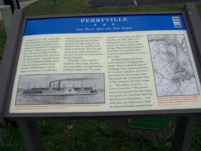
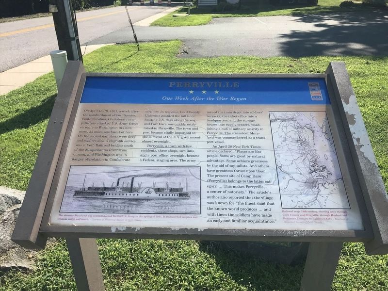
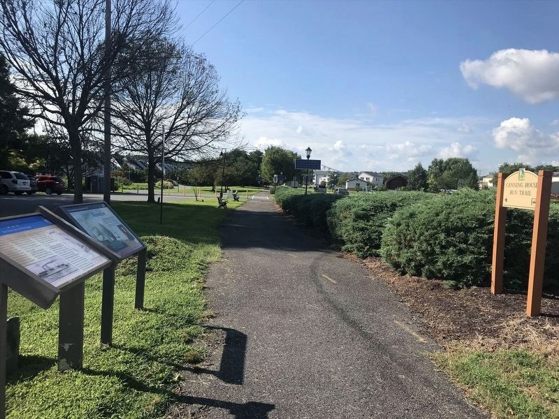
On April 18-19, 1861, a week after the bombardment of Fort Sumter, South Carolina, Confederate sympathizers attacked U.S. Army forces en route to Washington in Baltimore, 35 miles southwest of here. On the second day shots were fired and soldiers died. Telegraph service was cut off. Railroad bridges south of the Susquehanna River were burned, and Washington was in danger of isolation in Confederate territory. In response, Cecil County Unionists guarded the rail lines, hoisting U. S. flags along the way, and Fort Dare was quickly established in Perryville. The town and port became vitally important to the survival of the U. S. Government almost overnight.
Perryville, a town with few residents, three shops, two inns and a post office, overnight became a Federal staging area. The army turned the train depot into soldiers' barracks, the ticket office into a headquarters, and the storage houses into supply centers, establishing a hub of military activity in Perryville. The steamboat Maryland was commandeered as a transport vessel.
An April 28 New York Times article declared, “Places are like people. Some are great by natural advantage. Some achieve greatness by the aid of capitalists. And others have greatness thrust upon them. The present site of Camp Dare (Perryville) belongs to the latter category... This makes Perryville... a center of notoriety.” The article’s author also reported that the village was known for “the finest shad that the known world produces... and with them the soldiers have made an early and familiar acquaintance.
[Captions:]
The steamer Maryland was commandeered for the U.S. Army in the spring of 1861. It transported supplies and soldiers north and south. -- Courtesy of Historical Society of Cecil County
Railroad map, 19th century, showing lines through Cecil County and Perryville, through Harford and Baltimore Counties to Baltimore City. -- Courtesy of Historical Society of Cecil County
Erected by Maryland Civil War Trails.
Topics and series. This historical marker is listed in these topic lists: Bridges & Viaducts • Railroads & Streetcars • War, US Civil. In addition, it is included in the Maryland Civil War Trails series list. A significant historical date for this entry is April 18, 1861.
Location. 39° 33.432′ N, 76° 4.671′ W. Marker is in Perryville, Maryland, in Cecil County. Marker is at the intersection of Broad Street (Maryland Route 7) and Roundhouse Drive, on the right when traveling west on Broad Street. Touch for map. Marker is in this post office area: Perryville MD 21903, United States of America. Touch for directions.
Other nearby markers. At least 8 other markers are within walking distance of this marker. Historic Rodgers Tavern (here, next to this marker); Revered Son (a few steps from this marker); Rodgers Tavern (within shouting distance of this marker); Old Post Road - Lower Susquehanna Ferry - Rodgers' Tavern (within shouting distance of this marker); Count de Rochambeau’s Troops (about 400 feet away, measured in a direct line); Railroad History (about 600 feet away); The War Effort at Home: Perry Point Ammonium Nitrate Plant (approx. 0.3 miles away); A New Town along the Susquehanna (approx. 0.4 miles away). Touch for a list and map of all markers in Perryville.
Also see . . . Perry Point Mansion House and Mill. Wikipedia entry (Submitted on September 8, 2023, by Larry Gertner of New York, New York.)

Photographed By William Pfingsten, July 17, 2007
6. Perry Point Mansion House at Site of Fort Dare
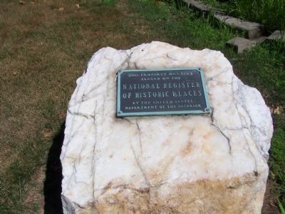
This home is located on the hospital grounds of Perry Point Veterans Administration.
Perry Point House and Mill
National Register of Historic Places Nomination Form
Click for more information.
Perry Point House and Mill
National Register of Historic Places Nomination Form
Click for more information.
Photographed By William Pfingsten, July 17, 2007
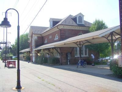
8. Perryville Train Station
Perryville is the northern terminal of several MARC trains on the Penn Line. Passenger service is currently limited to weekday peak periods, although MARC has plans for significant expansion.
The station is in the middle of a wye. Amtrak's Northeast Corridor is the eastern segment. The other two tracks join to become a spur to Port Deposit MD and Harrisburg PA. Norfolk Southern freight trains use the spur as they travel between Baltimore MD and Harrisburg PA. Most freight activity is late at night.
Perryville is a fantastic place to spend a day. Amtrak trains pass frequently on their way to Boston, New York, Washington, Florida, etc. The scenic Susquehanna River is a short walk away.
Credits. This page was last revised on September 8, 2023. It was originally submitted on June 30, 2007, by Bill Pfingsten of Bel Air, Maryland. This page has been viewed 3,366 times since then and 74 times this year. Last updated on February 27, 2020, by Carl Gordon Moore Jr. of North East, Maryland. Photos: 1. submitted on June 30, 2007, by Bill Pfingsten of Bel Air, Maryland. 2. submitted on January 9, 2022, by Adam Margolis of Mission Viejo, California. 3. submitted on October 9, 2013, by Allen C. Browne of Silver Spring, Maryland. 4, 5. submitted on January 9, 2022, by Adam Margolis of Mission Viejo, California. 6, 7, 8. submitted on July 17, 2007, by Bill Pfingsten of Bel Air, Maryland.
