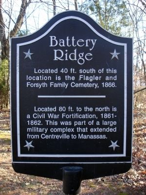
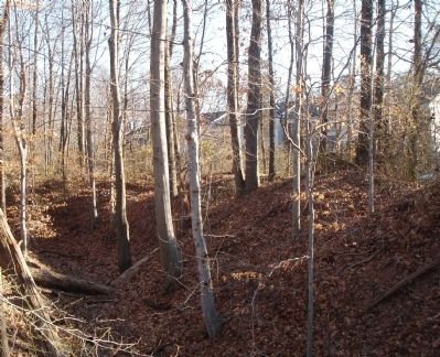
Battery Ridge
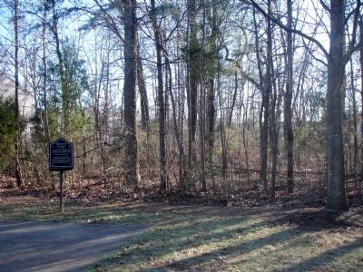
Located 40 ft. south of this location is the Flagler and Forsyth Family Cemetery, 1866.
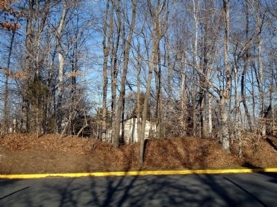
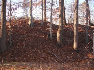
Located 80 ft. to the north is a Civil War Fortification, 1861-1862. This was a part of a large military complex that extended from Centreville to Manassas.
Topics. This historical marker is listed in these topic lists: Cemeteries & Burial Sites • Forts and Castles • War, US Civil. A significant historical year for this entry is 1866.
Location. 38° 50.712′ N, 77° 27.127′ W. Marker is in Centreville, Virginia, in Fairfax County. Marker is on Battery Ridge Lane, on the right when traveling east. This marker is located in the Sully Station II subdivision. Touch for map. Marker is at or near this postal address: 14621 Battery Ridge Ln, Centreville VA 20120, United States of America. Touch for directions.
Other nearby markers. At least 8 other markers are within 2 miles of this marker, measured as the crow flies. Second Battle of Manassas (approx. ¾ mile away); Campaign of Second Manassas (approx. ¾ mile away); Confederate Defenses (approx. ¾ mile away); First Battle of Manassas (approx. ¾ mile away); a different marker also named First Battle of Manassas (approx. one mile away); Retreat From Manassas (approx. one mile away); Lane's Mill and Newton's Mill Ruins (approx. 1.2 miles away); Old Stone Church (approx. 1.2 miles away). Touch for a list and map of all markers in Centreville.
Also see . . .
1. Forsythe/Flagler Family Cemetery. (Submitted on January 3, 2009.)
2. Rebel Position at Centreville. On lower left of this image is a map of the Centreville Civil War Fortifications. The earthworks at this location are just west of Grt Rocky Run at the batteries intersected by Road. (Submitted on January 3, 2009.)
3. Centreville Virginia. Civil War era photos of Centreville and Fortifications (Submitted on January 3, 2009.)
Additional commentary.
1. Battery Ridge Earthworks
From Field Armies and Fortifications in the Civil War: The Eastern Campaigns, 1861-1864," by Earl J. Hess:
The northern line was two miles long and included thirty-one embrasured gun positions. Today most of this line is gone, but a well-preserved section crosses Stone Road. It has two artillery emplacements, one with four and the other with five embrasures. There is a ditch in front of the artillery emplacements but none in front of the connecting infantry trench.
Credits. This page was last revised on July 7, 2021. It was originally submitted on January 3, 2009. This page has been viewed 2,315 times since then and 97 times this year. Photos: 1, 2, 3, 4, 5, 6, 7. submitted on January 3, 2009. • Craig Swain was the editor who published this page.
