Near Dickerson in Montgomery County, Maryland — The American Northeast (Mid-Atlantic)
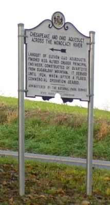
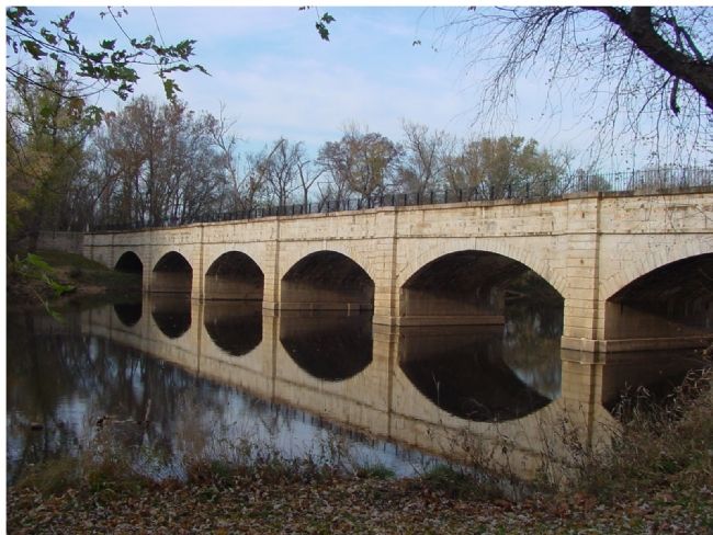
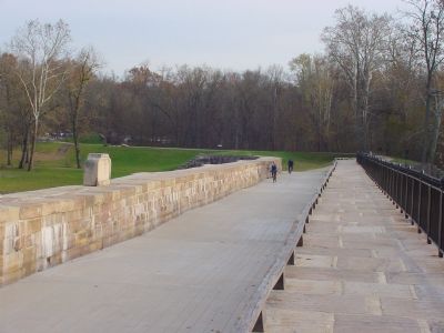
Chesapeake and Ohio Aqueduct
Across the Monocacy River
Erected by State Roads Commission.
Topics and series. This historical marker is listed in these topic lists: Bridges & Viaducts • Landmarks • Waterways & Vessels. In addition, it is included in the Chesapeake and Ohio (C&O) Canal series list. A significant historical year for this entry is 1833.
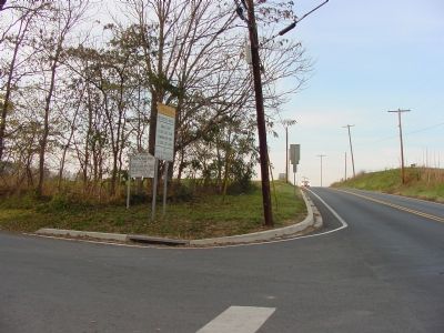
Location. 39° 13.482′ N, 77° 25.598′ W. Marker is near Dickerson, Maryland, in Montgomery County. Marker is at the intersection of Dickerson Road (Maryland Route 28) and Mouth of the Monocacy Road, on the left when traveling north on Dickerson Road. Touch for map. Marker is at or near this postal address: 20400 Mouth of Monocacy Road, Dickerson MD 20842, United States of America. Touch for directions.
Other nearby markers. At least 8 other markers are within 3 miles of this marker, measured as the crow flies. Historic Site (approx. 0.4 miles away); Springing Over the Monocacy / The Enduring Aqueduct (approx. 1.3 miles away); Monocacy Aqueduct (approx. 1.3 miles away); 1862 Antietam Campaign (approx. 1˝ miles away); Gettysburg Campaign (approx. 1˝ miles away); Washington's Farm (approx. 1.9 miles away); Linden Farm (approx. 2.2 miles away); Equestrian Heritage (approx. 2.4 miles away). Touch for a list and map of all markers in Dickerson.
Credits. This page was last revised on September 22, 2019. It was originally submitted on November 5, 2006, by J. J. Prats of Powell, Ohio. This page has been viewed 2,493 times since then and 14 times this year. Last updated on January 3, 2009, by Richard Pasquale of Gaithersburg, Maryland. Photos: 1, 2. submitted on November 5, 2006, by J. J. Prats of Powell, Ohio. 3. submitted on June 29, 2007, by Craig Swain of Leesburg, Virginia. 4, 5. submitted on November 5, 2006, by J. J. Prats of Powell, Ohio. • Kevin W. was the editor who published this page.
