Cumberland Township near Round Top in Adams County, Pennsylvania — The American Northeast (Mid-Atlantic)
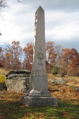
6th New Jersey Volunteers
3d Brigade, 2d Division, 3d Corps
Inscription.
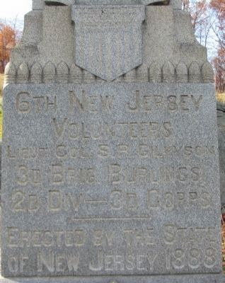
(Front):
Volunteers
Lieut. Col. S. R. Gilkyson
3d Brig. Burlings
2d Div - 3d Corps
Erected by the State
of New Jersey 1888
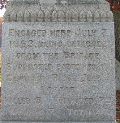
(Left):
1863. Being detached
from the Brigade
supported batteries on
Cemetery Ridge July 3
Losses
Killed 5. Wounded 29.
Missing 7. Total 41.
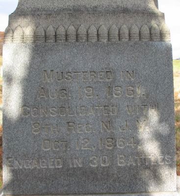
(Right):
Aug. 9. 1861.
Consolidated with
8th Reg. N.J.V.
Oct. 12, 1864.
Engaged in 30 Battles
Erected 1888 by State of New Jersey.
Topics. This memorial is listed in this topic list: War, US Civil. A significant historical date for this entry is July 2, 1863.
Location. 39° 47.604′ N, 77° 14.444′ W. Marker is near Round Top, Pennsylvania, in Adams County. It is in Cumberland Township. Memorial is on Crawford Avenue, on the right when traveling south. Located in Plum Run Valley (the Valley of Death) in Gettysburg National Military Park. Touch for map. Marker is in this post office area: Gettysburg PA 17325, United States of America. Touch for directions.
Other nearby markers. At least 8 other markers are within walking distance of this marker. Fourteenth U.S. Infantry (within shouting distance of this marker); 40th New York Infantry (about 400 feet away, measured in a direct line); Seventeenth U.S. Infantry (about 400 feet away); Fourth New York Independent Battery (about 400 feet away); Twelfth U.S. Infantry (about 500 feet away); Eleventh U.S. Infantry (about 500 feet away); Sixth U.S. Infantry (about 500 feet away); 86th New York Infantry (about 500 feet away). Touch for a list and map of all markers in Round Top.
Photographed By Craig Swain, November 8, 2008
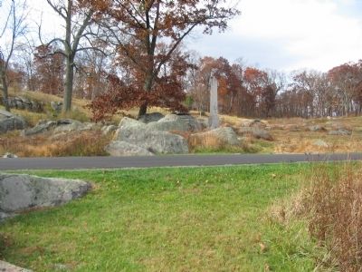
5. 6th New Jersey Volunteers Monument
Looking from the left flank marker stone for the regiment, across Crawford Avenue, at the monument. The regiment used a rock outcropping in the valley to set a line in order to confront the Confederate advance around the Devil's Den.
Photographed By Craig Swain, November 8, 2008
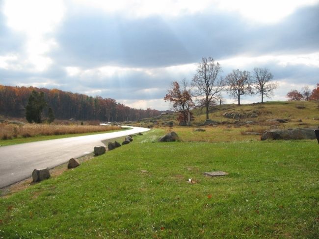
6. Position of the 6th New Jersey
Looking south down Crawford Avenue toward the monument (next to the trees to the right of the road). The 6th moved south down the valley to reinforce Ward's Brigade in the Devil's Den sector. Arriving, the New Jersey troops deployed behind the rock formation seen past the monument where the trees stand. At that point, with the ridge on their right, the 40th New York on their left, and two guns of Smith's Battery providing support, the 6th New Jersey was in a very envious position. Their losses were lower than any other regiment deployed in this sector of the battlefield.
Photographed By Craig Swain, April 8, 2007
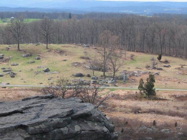
7. 6th New Jersey Volunteers Position Seen from Little Round Top
The monument and trees are just right of center. The rock outcropping is clear in this view from Little Round Top. The regiment defended along a natural fold in the ground, a small spur off Houck's Ridge.
Credits. This page was last revised on February 7, 2023. It was originally submitted on January 7, 2009, by Craig Swain of Leesburg, Virginia. This page has been viewed 1,071 times since then and 12 times this year. Photos: 1, 2, 3, 4, 5, 6, 7. submitted on January 7, 2009, by Craig Swain of Leesburg, Virginia.
