Dayton in Rockingham County, Virginia — The American South (Mid-Atlantic)
Death of Lt. Meigs
Deadly Encounter
— 1864 Valley Campaigns —
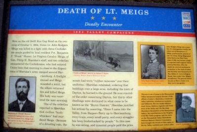
Here on the old Swift Run Gap Road on the evening of October 3, 1864, Union Lt. John Rodgers Meigs was killed in a fight with three Confederate scouts guided by local resident Pvt. Benjamin F. “Frank” Shaver, 1st Virginia Cavalry. Meigs, of Gen. Philip H. Sheridan’s staff, and two orderlies encountered the Confederates, who had entered Union lines that morning to observe the dispositions of Sheridan’s army camped around Harrisonburg. A firefight ensued and Meigs wounded a scout, but the others returned fire and killed Meigs. His body was recovered the next morning. One of the orderlies reported to Sheridan that civilian “bushwhackers” had murdered Meigs. (Because of a drizzling rain, the scouts had worn “rubber raincoats” over their uniforms.) Sheridan retaliated, ordering that buildings over a large area, including the town of Dayton, be burned to the ground. He soon rescinded the order concerning Dayton, but thirty other dwellings were destroyed in what came to be known as the “Burnt District.” Sheridan justified his actions by asserting, “Since I came into the Valley, from Harpers Ferry up to Harrisonburg, every train, every small party, and every straggler has been bushwhacked by people.” In this case he was wrong, and innocent people paid the price.
(Upper Right Sidebar):
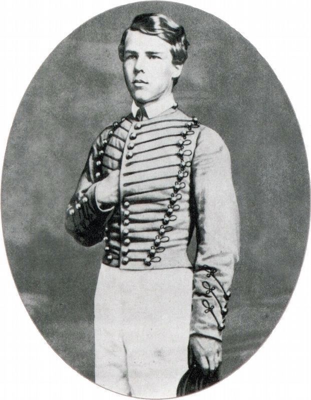
John Rodgers Meigs was a member of a distinguished family, the eldest son of Montgomery C. Meigs, quartermaster general of the U.S Army. Young Meigs graduated first in the West Point class of 1863 and became a highly regarded staff engineer before joining Sheridan. After his death, be received posthumous promotion to the rank of major, and his body was transported to Mrs. Robert E. Lee’s Arlington House, then under Gen. Meigs’s jurisdiction. The general buried his son in Plot 1, Grave 1, in Mrs. Lee’s rose garden.
(Lower Right Sidebar):
This site is one of many in the Shenandoah Valley interpreted largely because of the efforts of John L. Heatwole, a renowned Valley historian, woodcarver, sculptor, and folklorist. His two books (Shenandoah Voices: Folklore, Legends and Traditions of the Valley and The Burning: Sheridan’s Devastation of the Shenandoah Valley), his contributions to the Virginia Civil War Trails program, and his work on the Shenandoah Valley Battlefields National Historic District Commission have brought the stories of this region to life for Valley residents and visitors alike.
Erected 2007 by Virginia Civil War Trails.
Topics and series. This historical marker is listed in this topic list: War, US Civil. In addition, it is included in the Virginia Civil War Trails series list. A significant historical date for this entry is October 3, 1878.
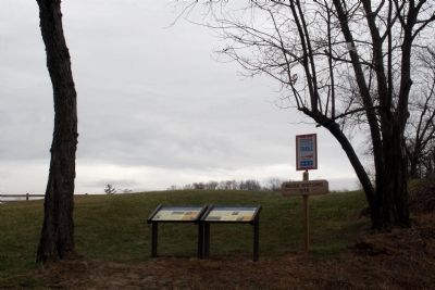
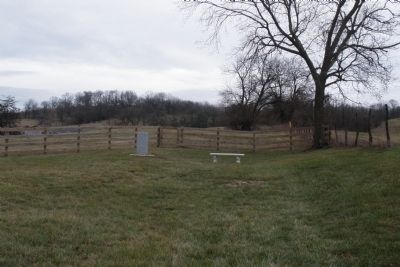
Location. 38° 25.441′ N, 78° 55.32′ W. Marker is in Dayton, Virginia, in Rockingham County. Marker is on Meigs Lane, 0.1 miles east of John Wayland Highway (Virginia Route 42), on the left when traveling east. Touch for map. Marker is in this post office area: Dayton VA 22821, United States of America. Touch for directions.
Other nearby markers. At least 8 other markers are within one mile of this marker, measured as the crow flies. A different marker also named Death of Lt. Meigs (here, next to this marker); Site Where Lt. John Rodgers Meigs Was Killed (a few steps from this marker); Fort Harrison (approx. 0.9 miles away); Silver Lake Historic District (approx. one mile away); Shenandoah College and Shenandoah Conservatory of Music (approx. one mile away); Lt. Col. Thomas F. Wildes (approx. one mile away); Daniel Bowman Mill at Silver Lake (approx. one mile away); First Church in Rockingham County (approx. 1.1 miles away). Touch for a list and map of all markers in Dayton.
More about this marker. In the upper center is a portrait of Benjamin F. “Frank” Shaver who remained vigilant for years after the war because Gen. Meigs had put a price on the “bushwhacker’s” head. – Courtesy of John L. Heatwole In the Upper center is a sketch with caption, titled Death of Meigs, by James E Taylor - Courtesy Western Reserve Historical Society.
The upper-right sidebar has a photo of John Rogers Meigs as a cadet - Courtesy Library of Congress. The Lower right sidebar has a portrait of John L. Heatwole
Also see . . . John Rodgers Meigs. Wikipedia entry (Submitted on June 1, 2022, by Larry Gertner of New York, New York.)
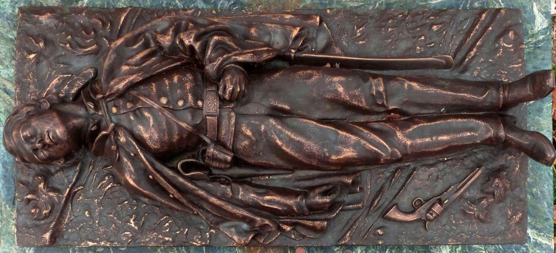
Photographed By Allen C. Browne, December 6, 2017
4. Lt. John Rodgers Meigs' Tomb
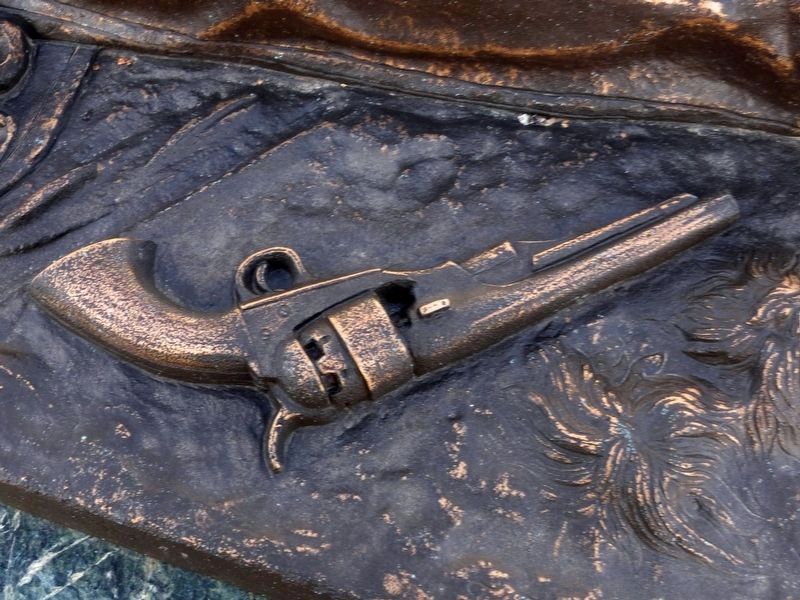
Lt. (Brevet Major) Meigs' tomb in Arlington National Cemetery bears this high relief depiction by Theophilus Fisk Mills of Lt. Meigs lying in the road where he fell. The inscriptions reads “Lt. John Rodgers Meigs, U.S. Eng’rs, Chief Engineer of the Shenandoah, Born 9th February, 1842, Killed 3rd October 1864.”
Credits. This page was last revised on June 1, 2022. It was originally submitted on January 8, 2009, by Bernard Fisher of Richmond, Virginia. This page has been viewed 2,540 times since then and 58 times this year. Photos: 1, 2, 3. submitted on January 8, 2009, by Bernard Fisher of Richmond, Virginia. 4, 5, 6. submitted on December 9, 2017, by Allen C. Browne of Silver Spring, Maryland. • Craig Swain was the editor who published this page.
