Near Fairfax in Fairfax County, Virginia — The American South (Mid-Atlantic)
Kearny's Stump and the Monument Lot
★ The Battle of Ox Hill ★
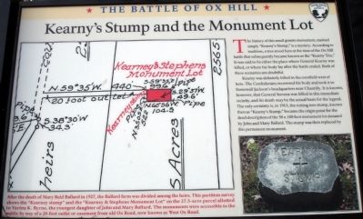
The history of this small granite monument, marked simply “Kearny’s Stump,” is a mystery. According to tradition, a tree stood here at the time of the Ox Hill battle that subsequently became known as the “Kearny Tree.” It was said to be either the place where General Kearny was killed, or where his body lay after the battle ended. Both of these scenarios are doubtful.
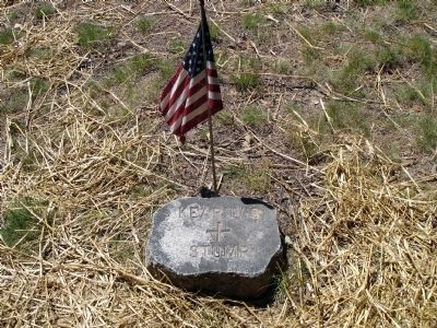
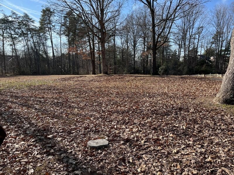
Kearny was definitely killed in the cornfield west of here. The Confederates recovered his body and took it to Stonewall Jackson’s headquarters near Chantilly. It is known, however, that General Stevens was killed in this immediate vicinity, and his death may be the actual basis for the legend. The only certainty is, in 1915, the rotting tree stump, known then as “Kearny’s Stump,” became the focal point for the deed description of the 50 x 100 foot monument lot donated by John and Mary Ballard. The stump was then replaced by this permanent monument.
Erected 2008 by Fairfax County Park Authority.
Topics. This historical marker is listed in this topic list: War, US Civil. A significant historical year for this entry is 1915.
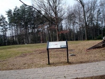
Location. 38° 51.91′ N, 77° 22.197′ W. Marker is near Fairfax, Virginia, in Fairfax County. Marker can be reached from West Ox Road (Virginia Route 608). Located at the seventh trail stop wayside at the Ox Hill Battlefield Park Interpretive Trail. Touch for map. Marker is at or near this postal address: 4134 West Ox Road, Fairfax VA 22033, United States of America. Touch for directions.
Other nearby markers. At least 8 other markers are within walking distance of this marker. Kearny and Stevens Monuments (here, next to this marker); Boulders and Quartz Stone (a few steps from this marker); Major General Isaac Ingalls Stevens (a few steps from this marker); Major General Philip Kearny (a few steps from this marker); The Battle of Ox Hill (within shouting distance of this marker); a different marker also named Battle of Ox Hill (within shouting distance of this marker); Maryland (Antietam / Sharpsburg) Campaign (within shouting distance of this marker); The Attack and Death of General Stevens (within shouting distance of this marker). Touch for a list and map of all markers in Fairfax.
More about this marker. On the left side of the marker is a reproduction of the survey plat for the monument lot. It is captioned, “After the death of Mary Reid Ballard in 1927, the Ballard farm was divided among the heirs. This partition survey shows the “Kearney stump” and the “Kearney & Stevens Monument Lot” on the 27.5-acre parcel allotted to Varina K. Byrne, the youngest daughter of John and Mary Ballard. The monuments were accessible to the public by way of a 20-foot outlet or easement from old Ox Road, now known as West Ox Road.”
On the lower right of the marker is a photo of Kearny's Stump monument.
Also see . . . The Battle of Chantilly. Civil War Preservation Trust (Submitted on January 10, 2009.)
Credits. This page was last revised on December 28, 2022. It was originally submitted on January 10, 2009. This page has been viewed 1,498 times since then and 26 times this year. Photos: 1, 2, 3. submitted on January 10, 2009. 4. submitted on December 22, 2022, by Adam Margolis of Mission Viejo, California. • Craig Swain was the editor who published this page.


