Cumberland Township near Gettysburg in Adams County, Pennsylvania — The American Northeast (Mid-Atlantic)
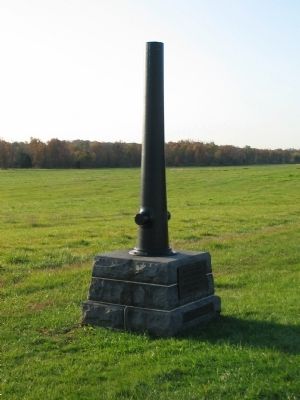
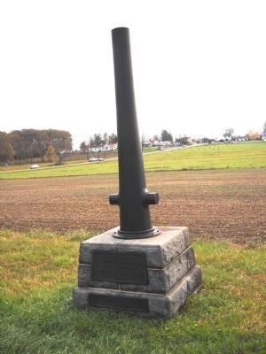
1st Corps Headquarters
Army of the Potomac
— Major General Abner Doubleday —
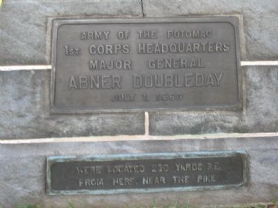
Inscription.
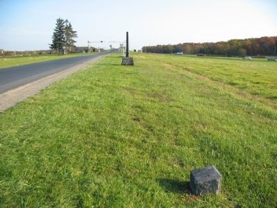
1st. Corps Headquarters
Major General
Abner Doubleday
July 1, 1863
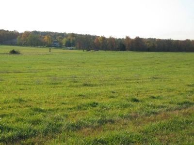
Were located 230 yards S.E.
from here, near the pike
Erected 1913 by Gettysburg National Military Park Commission.
Topics. This memorial is listed in this topic list: War, US Civil. A significant historical date for this entry is July 1, 1863.
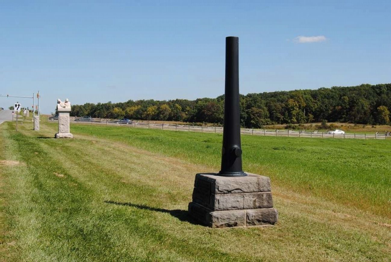
Location. 39° 50.134′ N, 77° 14.976′ W. Marker is near Gettysburg, Pennsylvania, in Adams County. It is in Cumberland Township. Memorial is on Reynolds Avenue, on the right when traveling north. Located on the First Day Battlefield, north of McPherson Woods, in Gettysburg National Military Park. Touch for map. Marker is in this post office area: Gettysburg PA 17325, United States of America. Touch for directions.
Other nearby markers. At least 8 other markers are within walking distance of this marker. 8th Illinois Cavalry (within shouting distance of this marker); First Division (within shouting distance of this marker); First Corps (within shouting distance of this marker); First Brigade (within shouting distance of this marker); Battery L, 1st New York Light Artillery (about 300 feet away, measured in a direct line); 143d Pennsylvania Infantry (about 400 feet away); "Forward Men" (about 400 feet away); Fight Like the Devil (about 400 feet away). Touch for a list and map of all markers in Gettysburg.
Also see . . . Reports of Maj. Gen. Abner Doubleday. Doubleday was in command of the Corps as Reynolds was commanding a "wing" of the Army. When Reynolds was killed in McPherson Woods, Doubleday had command of the field, at least for a short time. In his report, he explains the reasons for defending the ground north and west of Gettysburg:
There were abundant reasons for holding it, for it is the junction of seven great roads leading to Hagerstown, Chambersburg, Carlisle, York, Baltimore, Taneytown, and Washington, and is also an important railroad terminus. The places above mentioned are on the circumference of a circle of which it is the center. It was, therefore, a strategic point of no ordinary importance. Its possession would have been invaluable to Lee, shortening and strengthening his line to Williamsport, and serving as a base of maneuvers for future operations. (Submitted on January 11, 2009, by Craig Swain of Leesburg, Virginia.)
Photographed By Craig Swain, November 1, 2008
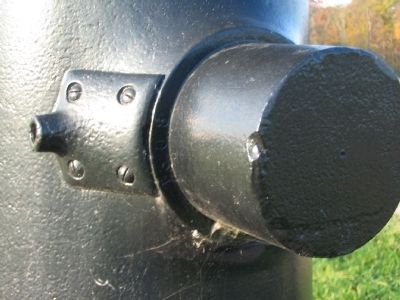
6. Markings on the Cannon
Most of the markings on the 4.5-inch Rifle are on the muzzle, which is clearly out of reach. However, the foundry would stamp its own number on the right rimbase (over the trunnion). Here the number "1308" allows positive identification of this piece as one cast by the Fort Pitt Foundry, Pittsburgh, Pennsylvania, in 1863. The fixture over the rimbase is a bracket for a sight post.
Credits. This page was last revised on February 7, 2023. It was originally submitted on January 11, 2009, by Craig Swain of Leesburg, Virginia. This page has been viewed 1,448 times since then and 31 times this year. Photos: 1, 2. submitted on January 11, 2009, by Craig Swain of Leesburg, Virginia. 3. submitted on November 13, 2010, by Bill Coughlin of Woodland Park, New Jersey. 4. submitted on July 17, 2016, by Brian Scott of Anderson, South Carolina. 5, 6, 7. submitted on January 11, 2009, by Craig Swain of Leesburg, Virginia.
