Near Henrico in Henrico County, Virginia — The American South (Mid-Atlantic)
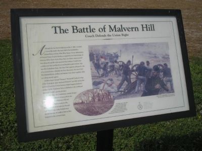
The Battle of Malvern Hill
Couch Defends the Union Right
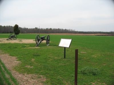
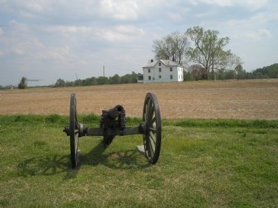
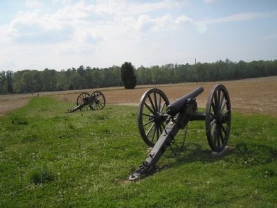
Soldiers from General Thomas J. “Stonewall” Jackson’s wing of the Confederate army anchored Robert E. Lee’s left, facing this position. From here Union batteries helped suppress Jackson’s artillery on the Poindexter Farm (a half-mile to the northeast) during the battle’s opening minutes.
Toward sunset the Confederate attacks became more determined as Jackson’s troops pushed onto the high ground of Malvern Hill and laid down disruptive musketry fire. Fresh regiments from both the Second and Third Corps of the Federal army moved through the artillery here as they hastened to the extreme front.
Erected by Richmond National Battlefield Park – National Park Service.
Topics. This historical marker is listed in this topic list: War, US Civil. A significant historical month for this entry is July 1825.
Location. 37° 24.817′ N, 77° 14.877′ W. Marker is near Henrico, Virginia, in Henrico County. Marker is on Willis Church Road (Virginia Route 156), on the left when traveling south. Marker is in the Malvern Hill Battlefield Unit of Richmond National Battlefield Park. Touch for map. Marker is at or near this postal address: 9051 Malvern Hill Battlefield Terrain, Henrico VA 23231, United States of America. Touch for directions.
Other nearby markers. At least 8 other markers are within walking distance of this marker. Artillery’s Terrible Effect (here, next to this marker); A Battlefield Landmark (within shouting distance of this marker); The West House (about 300 feet away, measured in a direct line); Seven Days Battles (about 300 feet away); Battlefield of Malvern Hill (about 400 feet away); Battlefield Landscape (about 500 feet away); Union Reserves (about 500 feet away); a different marker also named Seven Days Battles (about 500 feet away). Touch for a list and map of all markers in Henrico.
More about this marker. The right of the marker features a painting titled “Malvern Hill” by Don Stivers. The caption says that the picture “conveys a sense of the Union artillery’s power atop Malvern Hill.” The bottom of the marker contains

2. Malvern Hill - CWPT
Civil War Preservation Trust's efforts to preserve portions of the battlefield.
Click for more information.
Click for more information.
Also see . . .
1. Malvern Hill. CWSAC Battle Summaries. (Submitted on January 11, 2009, by Bill Coughlin of Woodland Park, New Jersey.)
2. Touring Richmond’s Battlefields. National Park Service website. (Submitted on January 11, 2009, by Bill Coughlin of Woodland Park, New Jersey.)
3. Malvern Hill Battlefield Podcast. National Park Service website. (Submitted on January 11, 2009, by Bill Coughlin of Woodland Park, New Jersey.)
4. The Seven Days Battle. HistoryCentral.com website. (Submitted on January 11, 2009, by Bill Coughlin of Woodland Park, New Jersey.)
Credits. This page was last revised on July 7, 2021. It was originally submitted on January 11, 2009, by Bill Coughlin of Woodland Park, New Jersey. This page has been viewed 1,463 times since then and 22 times this year. Photos: 1. submitted on January 11, 2009, by Bill Coughlin of Woodland Park, New Jersey. 2, 3. submitted on March 28, 2010, by Craig Swain of Leesburg, Virginia. 4, 5. submitted on January 11, 2009, by Bill Coughlin of Woodland Park, New Jersey.


