Mechanicsville in Hanover County, Virginia — The American South (Mid-Atlantic)
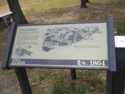
Union Position
Cold Harbor - 1864
At 4:30 a.m. they are ordered to attack the Confederate earthworks clearly visible across the open field. Most of the dying is over in thirty minutes. Unable to advance or retreat, the surviving Federals use spoons, forks, or bayonets to dig in where they lie, beneath a waist-high ceiling of fire.
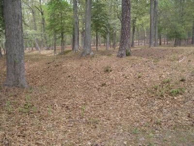
Afterward the Union Army built the more elaborate entrenchments behind you. Ten days later, in secrecy, Grant abandoned the position to march on Petersburg.
Erected by Richmond National Battlefield Park - National Park Service.
Topics. This historical marker is listed in this topic list: War, US Civil.
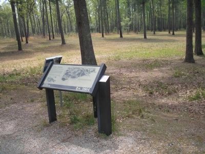
Location. This marker has been replaced by another marker nearby. It was located near 37° 35.492′ N, 77° 17.177′ W. Marker was in Mechanicsville, Virginia, in Hanover County. Marker was on Anderson Wright Drive, on the right when traveling south. Marker is on the tour road in the Cold Harbor Unit of Richmond National Battlefield. Touch for map. Marker was in this post office area: Mechanicsville VA 23111, United States of America. Touch for directions.
Other nearby markers. At least 8 other markers are within walking distance of this location. Grant's Grand Assault (within shouting distance of this marker); Union Earthworks (about 800 feet away, measured in a direct line); Confederate Position (about 800 feet away); Confederate Fortifications (about 800 feet away); Between the Lines (approx. 0.2 miles away); In Reserve (approx. 0.2 miles away); The Cold Harbor Killing Fields (approx. 0.2 miles away); The Waters Ran Red (approx. 0.2 miles away). Touch for a list and map of all markers in Mechanicsville.
More about this marker. The lower left of the marker contains a picture of Union soldiers setting up camp. The right side of the marker features a picture of a field of dead and dying soldiers, with the caption “Seven thousand killed and wounded soldiers lay in the blistering sun between the trenches. ’Vain calls for relief smote upon the ears of their comrades at every lull in the firing,’ wrote Lt. Colonel Charles H. Morgan.”
Related marker. Click here for another marker that is related to this marker. New Marker At This Location titled "Grant's Grand Assault".
Also see . . .
1. Cold Harbor. CMSAC Battle Summaries webpage. (Submitted on January 4, 2009, by Bill Coughlin of Woodland Park, New Jersey.)
2. Cold Harbor. Richmond
National Battlefield. (Submitted on January 4, 2009, by Bill Coughlin of Woodland Park, New Jersey.)
Credits. This page was last revised on November 5, 2021. It was originally submitted on January 4, 2009, by Bill Coughlin of Woodland Park, New Jersey. This page has been viewed 946 times since then and 7 times this year. Last updated on January 12, 2009, by Bernard Fisher of Richmond, Virginia. Photos: 1, 2, 3, 4. submitted on January 4, 2009, by Bill Coughlin of Woodland Park, New Jersey. • Kevin W. was the editor who published this page.


