San Juan Bautista in San Benito County, California — The American West (Pacific Coastal)
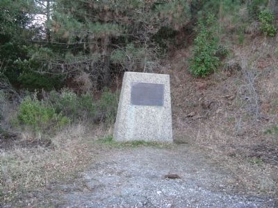
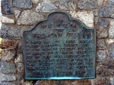
Fremont Peak
← 11 Miles
Erected by Department of Public Works - Division of Highways. (Marker Number 181.)
Topics and series. This historical marker is listed in this topic list: War, Mexican-American. In addition, it is included in the California Historical Landmarks series list. A significant historical month for this entry is March 1846.
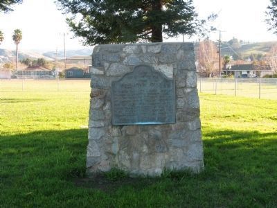
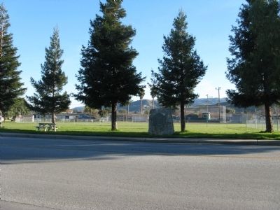
Location. 36° 50.685′ N, 121° 32.375′ W. Marker is in San Juan Bautista, California, in San Benito County. Marker is on Muckelemi Street, on the left when traveling west. Plaque located in Abbey Park. Park located at southeast corner of 4th and Muckelemi Streets in San Juan Bautista. Touch for map. Marker is in this post office area: San Juan Bautista CA 95045, United States of America. Touch for directions.
Other nearby markers. At least 8 other markers are within walking distance of this marker. Safety Follows Wisdom (within shouting distance of this marker); Old School House (about 600 feet away, measured in a direct line); City of San Juan Bautista (about 700 feet away); De Anza Expedition 1775 – 1776 (approx. 0.2 miles away); Native Daughters Adobe (approx. 0.2 miles away); The Amah Mutsun Garden (approx. 0.2 miles away); Progress Becomes History (approx. 0.2 miles away); Veterans of the World War (approx. 0.2 miles away). Touch for a list and map of all markers in San Juan Bautista.

Photographed By Syd Whittle, January 11, 2009
4. John Charles Fremont Marker
Click for more information.
Credits. This page was last revised on May 20, 2020. It was originally submitted on January 15, 2009, by Syd Whittle of Mesa, Arizona. This page has been viewed 1,648 times since then and 23 times this year. Last updated on May 20, 2020, by Craig Baker of Sylmar, California. Photos: 1, 2, 3, 4. submitted on January 15, 2009, by Syd Whittle of Mesa, Arizona.


