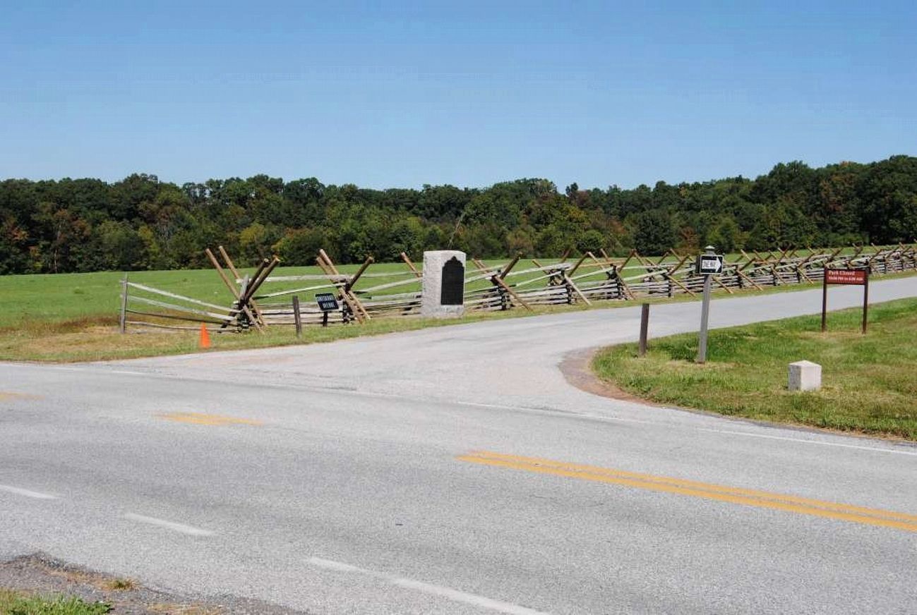
Cumberland Township near Gettysburg in Adams County, Pennsylvania — The American Northeast (Mid-Atlantic)
Second Army Corps
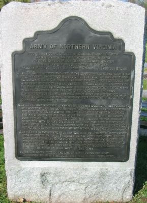
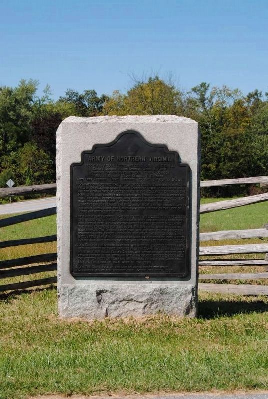
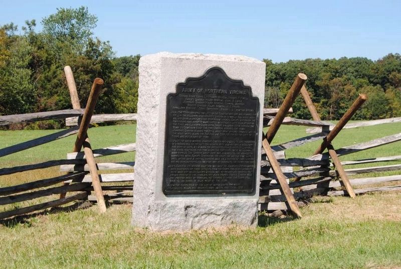
Army of Northern Virginia
Second Army Corps Lieutenant General Richard S. Ewell
Early's Division Major General Jubal A. Early
Johnson's Division Major General Edward Johnson
Rodes's Division Major General R.E. Rodes
Artillery Reserve Eight Batteries Colonel J. Thompson Brown
July 1. The Corps occupied the left of the Confederate line and reached the field in the following order Rodes's Division by Newville road about noon and deploying along Oak Ridge soon became engaged. Early's Division on the Harrisburg road about 1 p.m. and united with Rodes's left in an attack on the First and Eleventh Corps Union troops and drove them through the town to Cemetery Ridge. The two Divisions occupied the town. Johnson's Division reached the field about night about night and not engaged. Late in the night moved along the Railroad and took position on the left of Corps and north east of town.
July 2. In the early morning Johnson's Division was ordered to take possession of a wooded hill on the left. Skirmishers were advanced and a desultory fire kept up until 4 p.m. when the Artillery from Benner's Hill opened the firing continuing for two hours. The Batteries were withdrawn much crippled. The Division about dusk was advanced to the assault in connection with Early's Division on the right the battle continuing until after dark. A partial success made by a portion of each Division but not being supported on the right was withdrawn to the former positions.
July 3. Early in the morning an attack was made by Johnson's Division having been reinforced by three Brigades from the Corps two other assaults were made but failed. Early's Division was withdrawn and occupied its former position in the town and not again engaged. Rodes's Division held the position west of town and not engaged. At night the Corps fell back to the range of hills west of the town.
July 4. The Corps took up the line of march during the night.
Casualties. Killed 809. Wounded 3823. Missing 1305. Total 5937.
Erected 1907 by Gettysburg National Military Park Commission.
Topics. This historical marker is listed in this topic list: War, US Civil. A significant historical month for this entry is July 1858.
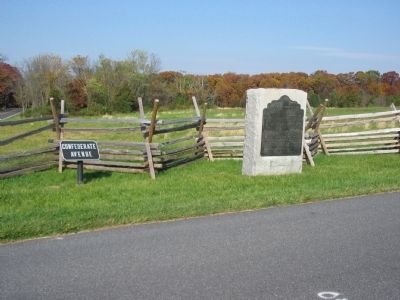
Location. 39° 50.863′ N, 77° 14.72′ W. Marker is near Gettysburg, Pennsylvania, in Adams County. It is in Cumberland Township. Marker is at the intersection of North Confederate Avenue and Mummasburg Road, on the left when traveling north on North Confederate Avenue. Located near the Eternal Peace Light Memorial (auto tour stop 2) in Gettysburg National Military Park. Touch for map. Marker is in this post office area: Gettysburg PA 17325, United States of America. Touch for directions.
Other nearby markers. At least 8 other markers are within walking distance of this marker. 17th Pennsylvania Cavalry (within shouting distance of this marker); Ramseur's Brigade (about 300 feet away, measured in a direct line); A Dedication (about 500 feet away); The King William Artillery (about 600 feet away); Eternal Light Peace Memorial (about 600 feet away); The Orange Artillery (about 600 feet away); Rodes Attacks (about 600 feet away); Daniel's Brigade (about 600 feet away). Touch for a list and map of all markers in Gettysburg.
Also see . . . Report of Lieut. Gen. Richard S. Ewell. Much has been made of Ewell's decision not to assail Cemetery Hill on July 1. In his official report, Ewell writes:
The enemy had fallen back to a commanding position known as Cemetery Hill, south of Gettysburg, and quickly showed a formidable front there. On entering the town, I received a message from the commanding general to attack this hill, if I could do so to advantage. I could not bring artillery to bear on it, and all the troops with me were jaded by twelve hours' marching and fighting, and I was notified that General Johnson's division (the only one of my corps that had not been engaged) was close to the town.
Cemetery Hill was not assailable from the town, and I determined, with Johnson's division, to take possession of a wooded hill to my left, on a line with and commanding Cemetery Hill. Before Johnson got up, the enemy was reported moving to outflank our extreme left, and I could see that seemed to be his skirmishers in that direction. (Submitted on January 17, 2009, by Craig Swain of Leesburg, Virginia.)
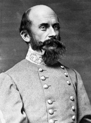
6. Lieutenant General Richard Ewell
Richard Ewell graduated from West Point in 1840. Most of his twenty years of service was on the western frontier in the U.S. Dragoons. Ewell gained many accolades during early wartime service under General Jackson in the Shenandoah Valley, but was wounded at Second Manassas, losing a leg. After his recovery, he was named a corps commander in the reorganized Army of Northern Virgina. Some have speculated the loss of his leg greatly affected Ewell's performance. Indeed he was reassigned from a field corps to command of the Richmond defenses in mid-1864. Ewell would command the Richmond garrison, on paper a corps, during the retreat in 1865, and surrendered at Saylor's Creek.
(Photo from Wikipedia)
(Photo from Wikipedia)
Credits. This page was last revised on February 7, 2023. It was originally submitted on January 17, 2009, by Craig Swain of Leesburg, Virginia. This page has been viewed 955 times since then and 17 times this year. Photos: 1. submitted on January 17, 2009, by Craig Swain of Leesburg, Virginia. 2, 3. submitted on July 21, 2016, by Brian Scott of Anderson, South Carolina. 4. submitted on January 17, 2009, by Craig Swain of Leesburg, Virginia. 5. submitted on July 21, 2016, by Brian Scott of Anderson, South Carolina. 6. submitted on January 17, 2009, by Craig Swain of Leesburg, Virginia.
