Near New Market in Scott County, Minnesota — The American Midwest (Upper Plains)
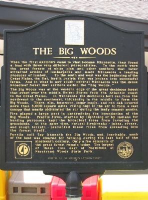
The Big Woods
The Big Woods was at the western edge of the great deciduous forest that swept over the middle United States from the Atlantic coast to the Great Plains. In Minnesota the deciduous belt ran from the northwest to the southeast, thickening in the middle to form the Big Woods. There, elm, basswood, sugar maple, and red oak covered more than 3,000 square miles, rising high in the air to form a vast canopy that nearly obliterated the sun during the leafy summer months.
Fire played a large part in determining the boundaries of the Big Woods. Prairie fires, started by lightning or by Indians for hunting purposes, kept the broadleaf trees from invading the grasslands. At the same time, natural firebreaks – lakes, rivers, and rough terrain – prevented these fires from spreading into the forest itself.
Fertile soil lay beneath the Big Woods, and, inevitably, much of the land was cleared for farming during the last half of the nineteenth century. Only a few remnants of the great forest remain today. The largest of these lies east of Northfield at Nerstrand Woods State Park.
Erected 1996 by the Minnesota Historical Society.
Topics and series. This historical marker is listed in this topic list: Natural Features. In addition, it is included in the Minnesota Historical Society series list.
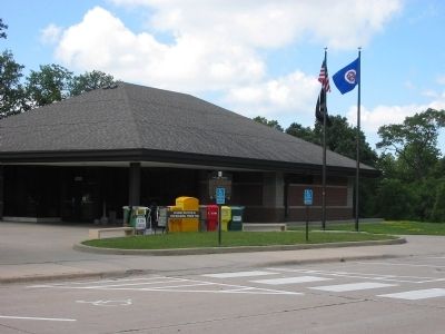
Location. 44° 33.048′ N, 93° 18.061′ W. Marker is near New Market, Minnesota, in Scott County. Marker can be reached from Interstate 35 at milepost 75,, 1.6 miles south of East 260th Street, on the right when traveling south. Marker is at the southbound New Market Rest Area. Touch for map. Marker is in this post office area: Elko New Market MN 55054, United States of America. Touch for directions.
Other nearby markers. At least 7 other markers are within 16 miles of this marker, measured as the crow flies. A Flour Milling Revolution (approx. 7 miles away); Millersburg & the Northfield Bank Robbery (approx. 8.6 miles away); Christdala Swedish Lutheran Church 1877 (approx. 8.7 miles away); Nicolaus Gustafson (approx. 8.7 miles away); Sesquicentennial Legacy Plaza (approx. 9˝ miles away); Civil War Monument (approx. 9˝ miles away); First Rosemount Businesses 1855 (approx. 15.4 miles away).
Also see . . . Nerstrand - Big Woods State Park. "In the 1930s large lumber companies attempted to acquire the land for logging. However, the lots were divided among 169 owners, not all of whom even lived in Minnesota anymore, and buying enough land to log commercially proved to be so complicated that each company gave up." (Submitted on January 17, 2009.)
Credits. This page was last revised on June 16, 2016. It was originally submitted on January 17, 2009, by Keith L of Wisconsin Rapids, Wisconsin. This page has been viewed 2,412 times since then and 138 times this year. Photos: 1, 2. submitted on January 17, 2009, by Keith L of Wisconsin Rapids, Wisconsin. • Kevin W. was the editor who published this page.

