Near Petersburg in Dinwiddie County, Virginia — The American South (Mid-Atlantic)
Battlefield Terrain
The Breakthrough Trail
— Pamplin Historical Park —
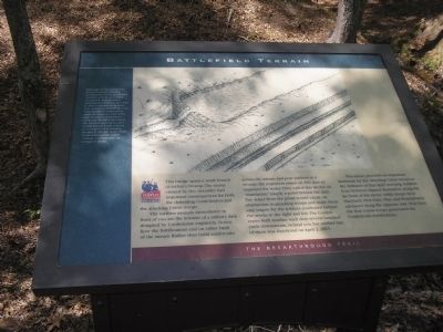
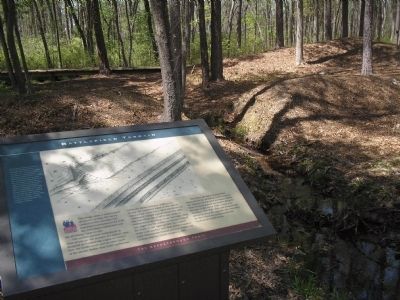
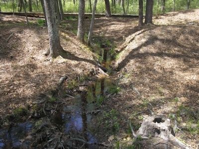
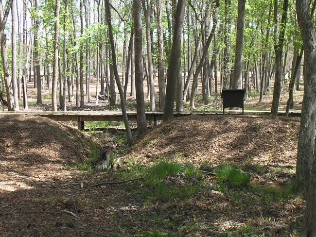
The earthen mounds immediately in front of you are the remains of a military dam designed by Confederate engineers. Notice how the fortifications end on either bank of the stream. Rather than build earthworks across the stream and post soldiers in a swamp, the engineers relied on this dam to impound the water. They called this device an “inundation,” simply a pond behind the dam. The water from the pond would create an obstruction to attacking troops and make them easy targets for the soldiers positioned behind the works to the right and left. The Confederates built another such dam several hundred yards downstream, behind you, but neither one of them was functional on April 2, 1865.
This ravine provided an important landmark for the attacking Union troops in the darkness of that April morning. Soldiers from Vermont aligned themselves along the far bank of the ravine while troops from Maryland, New York, Ohio and Pennsylvania advanced along the opposite side. Near here the first Union troops penetrated the Confederate fortifications.
Erected by Pamplin Historical Park.
Topics. This historical marker is listed in these topic lists: Notable Places • War, US Civil. A significant historical month for this entry is April 1863.
Location. 37° 10.918′ N, 77° 28.412′ W. Marker is near Petersburg, Virginia, in Dinwiddie County. Marker can be reached from Duncan Road (Virginia Route 670), on the left when traveling south. Marker is in Pamplin Historical Park, on the Breakthrough Trail. Touch for map. Marker is in this post office area: Petersburg VA 23803, United States of America. Touch for directions.
Other nearby markers. At least 8 other markers are within walking distance of this marker. The Breakthrough (within shouting distance of this marker); 1st Lieutenant Evander McNair Robeson (about 300 feet away, measured in a direct line); First Man Over the Works (about 300 feet away); Lane’s North Carolina Brigade (about 400 feet away); Brother vs. Brother (about 400 feet away); “We Fought Desperately” (about 400 feet away); 1st Lieutenant Octavius Augustus Wiggins (about 500 feet away); “Our Line of Battle was so Thin” (about 500 feet away). Touch for a list and map of all markers in Petersburg.
More about this marker. The top of the marker features a picture of a fortification with an inundation. It has a caption of “Although no record has been found to explain why the Confederates failed to maintain this dam and its associated inundation, they probably discovered that it was too close to their fortifications to allow free movement between the lines. The concept of impounding water to create an obstruction against attacks remained a valid one. Barely a mile away, the Confederates built a dam across Rohoic Creek creating an inundation that General Horatio G. Wright, Union Sixth Corps commander, called ‘entirely impracticable’ as a target of attack.”
Also see . . .
1. Breakthrough at Petersburg. The American Civil War website. (Submitted on January 18, 2009, by Bill Coughlin of Woodland Park, New Jersey.)
2. The Breakthrough Trail. Pamplin Historical Park website. (Submitted on January 18, 2009, by Bill Coughlin of Woodland Park, New Jersey.)
3. The Final Assault. The Civil War Siege of Petersburg. (Submitted on January 18, 2009, by Bill Coughlin of Woodland Park, New Jersey.)
Credits. This page was last revised on February 2, 2023. It was originally submitted on January 18, 2009, by Bill Coughlin of Woodland Park, New Jersey. This page has been viewed 1,111 times since then and 26 times this year. Photos: 1, 2, 3, 4. submitted on January 18, 2009, by Bill Coughlin of Woodland Park, New Jersey.


