Benedict in Charles County, Maryland — The American Northeast (Mid-Atlantic)
Camp Stanton
Training Post for USCT
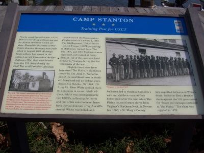
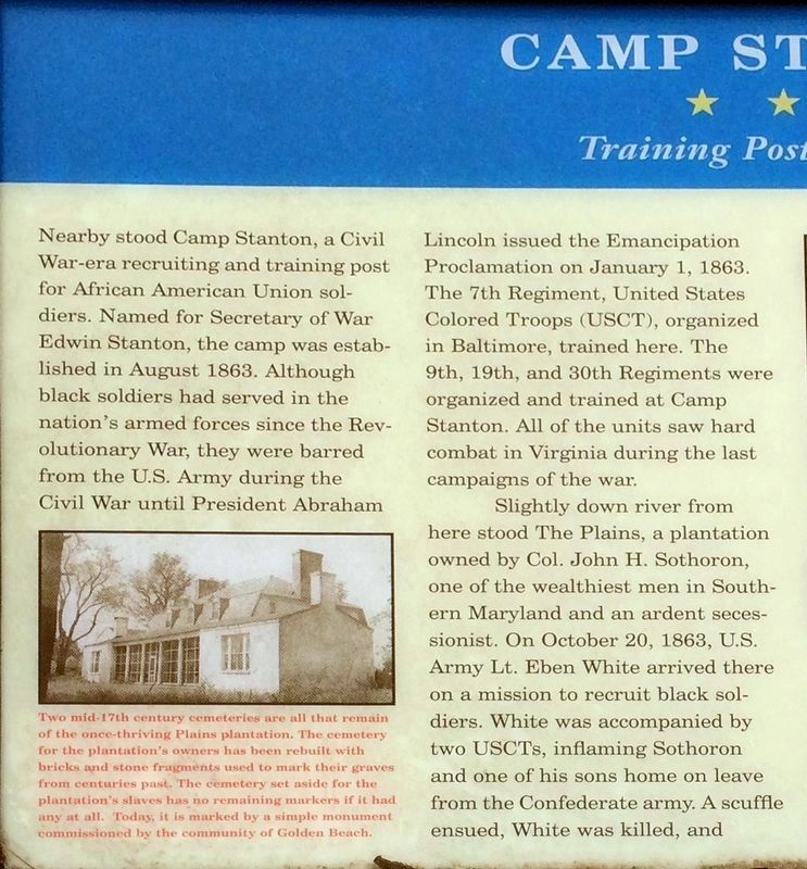
Slightly down river from here stood The Plains, a plantation owned by Col. John H. Sothoron, one of the wealthiest men in Southern Maryland and an ardent secessionist. On October 20, 1863, U.S. Army Lt. Eben White arrived there on a mission to recruit black soldiers. White was accompanied by two USCTs, inflaming Sothoron and one of his sons home on leave from the Confederate army. A scuffle ensued, White was killed, and Sothoron fled to Virginia. Sothoron’s wife and children vacated their home until after the war, while The Plains housed former slaves from Virginia’s Northern Neck. In November 1868, a St. Mary’s County jury acquitted Sothoron in White's death. Sothoron filed a $98,638 claim against the U.S. government for “losses and damages sustained at The Plains.” The claim was rejected in 1875.
Erected by Maryland Civil War Trails.
Topics and series. This historical marker is listed in these topic lists: Military • War, US Civil. In addition, it is included in the Maryland Civil War Trails series list. A significant historical month for this entry is January 1865.
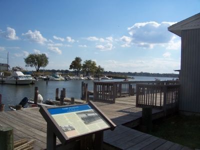
Location. Marker has been reported missing. It was located near 38° 30.263′ N, 76° 40.907′ W. Marker was in Benedict, Maryland, in Charles County. Marker could be reached from Wilmott Drive, on the left when traveling south. Follow Prince Frederick Road (MD Rte. 231) to Benedict (½ mile west of Patuxent River Bridge). Turn south on Benedict Avenue-Mill Creek Road and follow the Maryland Civil War Trails signage about ¾ mile to the end of Wilmott Drive and the parking lot for the Benedict Marina and Restaurant. The marker is adjacent to the Marina boardwalk on the bank of the Patuxent River. Touch for map. Marker was at or near this postal address: 19305 Wilmott Drive, Benedict, MD, 20612, Benedict MD 20612, United States of America. Touch for directions.
Other nearby markers. At least 8 other markers are within one mile of this location, measured as the crow flies. British Have Landed (approx. 0.4 miles away); The British are Coming (approx. half a mile away); Benedict (approx. 0.8 miles away); a different marker also named Camp Stanton (approx. 0.8 miles away); Solid Ground (approx. 0.9 miles away); a different marker also named Camp Stanton (approx. one mile away); On This Farm (approx. one mile away); Enemy Camp (approx. one mile away). Touch for a list and map of all markers in Benedict.
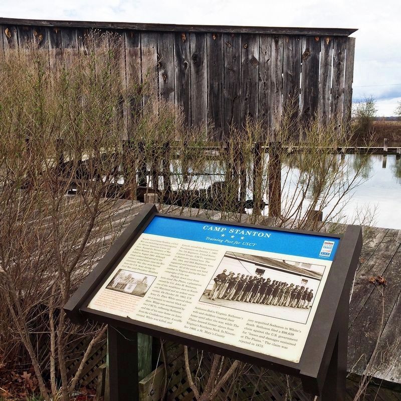
More about this marker. On the lower left is a photo of Plains plantation with this caption, “Two mid-17th century cemeteries are all that remain of the once-thriing Plains plantation. The cemetery for the plantation's owners has been rebuilt with bricks and stone fragments used to mark their graves from centuries past. The cemetery set aside for the plantation's slaves has no remaining markers if it had any at all. Today it is marked by a simple monument commissioned by the community of Golden Beach.”
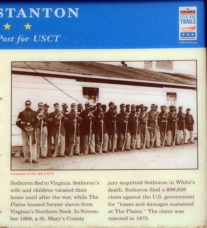
There is a large photograph of “Company of the 4th USCT.” on the right.
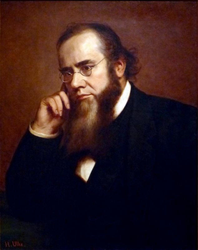
Regarding Camp Stanton. The camp was named for Secretary of War Edwin M. Stanton. The trainees were all of African descent
and most had recently been freed from slavery elsewhere in Maryland in order to fight in the War of the Rebellion. Many would die in camp from exposure during the severe winter of 1863, but the survivors would march into combat with their regiments in Virginia, the Carolinas, and elsewhere during 1864 and 1865. Of the four regiments, the Seventh suffered the highest number killed in action (85), and two white officers with the Thirtieth would be recipients of the Medal of Honor.
Related marker. Click here for another marker that is related to this marker. New Marker Near This Location also titled "Camp Stanton".
Credits. This page was last revised on January 11, 2024. It was originally submitted on December 8, 2007, by Richard E. Miller of Oxon Hill, Maryland. This page has been viewed 5,030 times since then and 127 times this year. Last updated on April 17, 2022, by Shane Oliver of Richmond, Virginia. Photos: 1. submitted on December 9, 2007, by Richard E. Miller of Oxon Hill, Maryland. 2, 3, 4. submitted on January 16, 2019, by David Lassman of Waldorf, Maryland. 5. submitted on December 23, 2023, by Allen C. Browne of Silver Spring, Maryland. 6. submitted on December 8, 2007, by Richard E. Miller of Oxon Hill, Maryland. • J. Makali Bruton was the editor who published this page.
